Old Maps of Valley Wells, Texas
Explore 15 old maps of Valley Wells, spanning from 1925 to today. These high-resolution historic maps reveal how streets, neighborhoods, landmarks, and natural features evolved over time — perfect for genealogy, metal detecting, research, and local history exploration.
What you can do with these maps:
- See how Valley Wells changed over time: Compare historical maps to modern-day views to trace roads, homesites, rail lines & more.
- View detailed metadata: Each map includes creators, publishers, year, scale, and archive source.
- Overlay maps with satellite & LiDAR: Visualize the past alongside modern tools to explore terrain & human change.
- Trusted historical sources: Maps sourced from the USGS, Library of Congress, and other archives.
- Access maps your way: View online, download high-res files, or order prints for personal or research use.
Start exploring old maps of Valley Wells to uncover forgotten places, hidden landmarks, and the deep history beneath your feet.
Valley Wells, TX maps
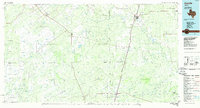
(15)- 1925 Map of San Roque Lake 1-a
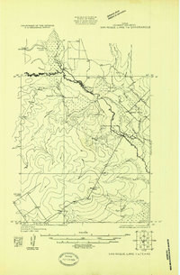 1925 San Roque Lake 1-a1925 Print · USGSDimmit County ranching and river life are captured here in the mid-twenties as the cattle industry shaped the South Texas brush country. Researchers can trace family-named outposts like Buckhorn Ranch and Rasmussen Ranch or follow the path of the Big Wells Road to Valley Wells.
 - 1929 Map of Cotulla
 1929 Cotulla1929 Print · USGSThe South Texas brush country comes alive in the late 1920s, showing a landscape of massive cattle ranches and early rail outposts. Genealogists can trace family holdings from the Carlow Settlement to Valley Wells, or locate military sites like Dentonio.
 - 1932 Map of Valley Wells
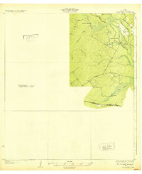 1932 Valley Wells1932 Print · USGSDimmit County ranching and water resources come into focus during the mid-1920s as the Nueces River valley undergoes formal surveying. Genealogists and historians can trace the early road networks and family holdings like Rasmussen Ranch, Buckhorn Ranch, and the settlement at Valley Wells.2 unique versions available
 - 1940 Map of Catarina, 1958 Print
 1940 Catarina1958 Print · USGSDimmit County ranching and rail infrastructure are captured here in the early 1940s, just as modern utilities reached the brush country. Genealogists can trace family holdings like the Buckhorn Ranch and Valley Wells along the Central and Gulf (Mo Pac) rail line.2 unique versions available
 - 1953 Map of Crystal City
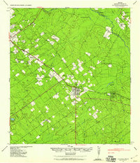
 1953 Crystal City1953 Print · USGSSouth Texas in the early fifties was a landscape of expanding oil fields and vital rail connections. Genealogists and researchers can trace family lands along the Nueces River or locate heritage sites in Asherton, Big Wells, and Batesville.
 - 1955 Map of Crystal City, 1976 Print
 1955 Crystal City1976 Print · USGSSouth Texas ranching and oil country come into focus in the mid-fifties as the rail lines and rivers connect growing hubs. Researchers can trace the development of energy fields like Washburn Oil Field or locate historic settlements from Asherton to Three Rivers.
 - 1961 Map of Crystal City
 1961 Crystal City1961 Print · USGSSouth Texas in the early sixties reveals a landscape of massive cattle ranches and emerging oil fields. Genealogists and historians can trace the Missouri Pacific rail lines through Crystal City, or locate water features like Espantosa Lake and Boynton Reservoir.
 - 1968 Map of Crystal City
 1968 Crystal City1968 Print · USGSSouth Texas in the late sixties reveals a landscape shaped by ranching roots and the vital waters of the Nueces River. Researchers can trace the rail-driven growth of Crystal City or locate landmarks like Pilot Knob and Espantosa Lake.
 - 1974 Map of Valley Wells, 1977 Print
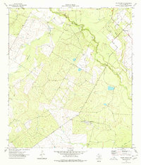 1974 Valley Wells1977 Print · USGSDimmit County during the mid-1970s shows a landscape of brush country ranching and active petroleum exploration. Researchers can trace the development of the Good Luck Oil Field and locate landmarks like Valley Wells and the Diamond H Ranch.
 - 1985 Map of Cotulla
 1985 Cotulla1985 Print · USGSSouth Texas ranching country in the mid-1980s is captured here at a 1:100,000 scale. Genealogists and historians can trace the Missouri Pacific line through Cotulla and Artesia Wells, or locate remote points along Pena Creek and an Old Railroad Grade.2 unique versions available
 - 2010 Map of Valley Wells, 2010 Print
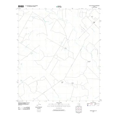 2010 Valley Wells2010 Print · USGSCovers Valley Wells, including Dimmit County, United States, and other nearby areas
 - 2013 Map of Valley Wells, 2013 Print
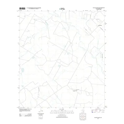 2013 Valley Wells2013 Print · USGSCovers Valley Wells, including Dimmit County, United States, and other nearby areas
 - 2016 Map of Valley Wells, 2016 Print
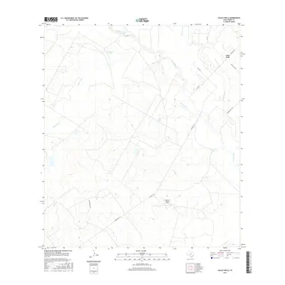 2016 Valley Wells2016 Print · USGSCovers Valley Wells, including Dimmit County, United States, and other nearby areas
 - 2019 Map of Valley Wells, 2019 Print
 2019 Valley Wells2019 Print · USGSCovers Valley Wells, including Dimmit County, United States, and other nearby areas
 - 2022 Map of Valley Wells, 2022 Print
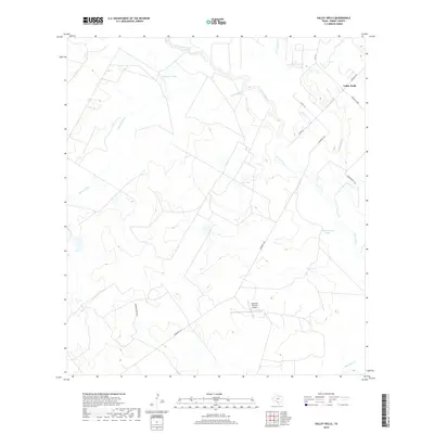
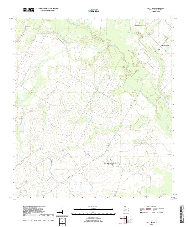 2022 Valley Wells2022 Print · USGSDimmit County ranchlands along the Nueces River are captured here in the early twenty-first century. Researchers can locate the Valley Wells Cem and trace rural developments like the Diamond H Ranch Airport and Buckhorn Lake.
End of results
Showing maps 1-15 of 15
Top cities near Valley Wells
Frequently asked questions
- What are the different types of historical maps available for Valley Wells?
- What is the oldest map of Valley Wells?
- Where can I purchase historical maps of Valley Wells for my home or office?
- Where can I download high-res historical maps of Valley Wells?
- Are there historical topographic maps available for Valley Wells?
- Is there historical aerial imagery available for Valley Wells?
- Where are historical maps of Valley Wells sourced from?