Old Maps of Jericho, Texas for Metal Detecting
Plan your next treasure hunt with 10 historic maps of Jericho. Find old homesites, ghost towns, trails, and gathering spots that may be lost to time — perfect for identifying promising metal detecting locations.
- Locate forgotten sites: Uncover places like long-lost settlements, abandoned rail lines, or gathering spots.
- Plan better hunts: Use map overlays combined with LiDAR or satellite views to narrow in on historically rich areas.
- Made for detectorists: Thousands of hobbyists use these maps to discover relics, coins, and hidden history.
Use these historic maps to boost your research and find new opportunities beneath the surface of Jericho.
Jericho, TX maps
(10)- 1954 Map of Amarillo, 1966 Print
 1954 Amarillo1966 Print · USGSThe Texas Panhandle in the mid-1960s shows a landscape of rising industrial power and deep-rooted ranching tradition. Local historians can trace the paths of the Panhandle and Santa Fe railroad or locate sites like the Pantex Ordnance Plant and Mobeetie.2 unique versions available
 - 1958 Map of Amarillo
 1958 Amarillo1958 Print · USGSThe Texas Panhandle in the mid-1950s reveals a landscape of expanding military installations and oil-rich rail towns. Local historians can trace the development of Amarillo Air Force Base or locate smaller settlements like Magic City and New Mobeetie.
 - 1964 Map of Jericho, 1967 Print
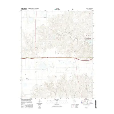
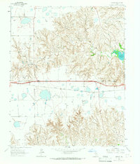 1964 Jericho1967 Print · USGSThe Texas Panhandle in the early sixties reveals a landscape of cattle-guard gates and rural industry. Genealogists and historians can trace family locations near Jericho Cem, the Chicago Rock Island and Pacific line, and Boydston Cemetery.
 - 1983 Map of Shamrock
 1983 Shamrock1983 Print · USGSThe Texas Panhandle in the early 1980s reveals a landscape shaped by petroleum and the rail lines of the southern plains. Genealogists and historians can trace the Chicago Rock Island and Pacific corridor through Mc Lean and Shamrock, or locate smaller centers like Magic City and Lefors.
 - 1998 Map of Jericho, 2001 Print
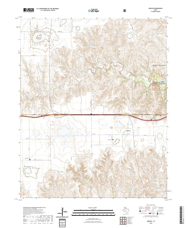
 1998 Jericho2001 Print · USGSThe Texas Panhandle comes into focus during the late nineties, showing the rural landscape around the settlement of Jericho. Researchers can locate historic burial grounds like Jericho Cem and trace the McClellan Creek Trail through the national grassland.
 - 2010 Map of Jericho, 2010 Print
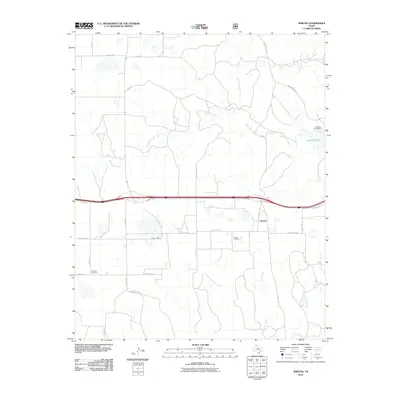 2010 Jericho2010 Print · USGSCovers Jericho, including Gray County, Donley County, and other nearby areas
 - 2012 Map of Jericho, 2012 Print
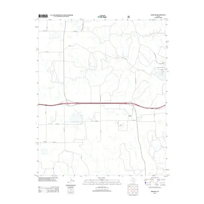 2012 Jericho2012 Print · USGSCovers Jericho, including Gray County, Donley County, and other nearby areas
 - 2016 Map of Jericho, 2016 Print
 2016 Jericho2016 Print · USGSCovers Jericho, including Gray County, Donley County, and other nearby areas
 - 2019 Map of Jericho, 2019 Print
 2019 Jericho2019 Print · USGSCovers Jericho, including Gray County, Donley County, and other nearby areas
 - 2022 Map of Jericho, 2022 Print
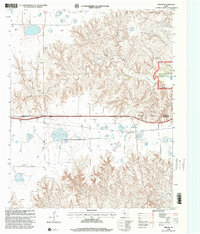
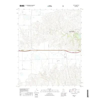
 2022 Jericho2022 Print · USGSThe Texas Panhandle borderlands are captured here in the early twenty-first century, showing the transition from level rangeland to the canyons of the McClellan Creek National Grassland. Researchers can pinpoint family sites at the Jericho Cem and Boydston Cem or trace rural routes like Ollinger Rd.
End of results
Showing maps 1-10 of 10
Top cities near Jericho
Frequently asked questions
- What are the different types of historical maps available for Jericho?
- What is the oldest map of Jericho?
- Where can I purchase historical maps of Jericho for my home or office?
- Where can I download high-res historical maps of Jericho?
- Are there historical topographic maps available for Jericho?
- Is there historical aerial imagery available for Jericho?
- Where are historical maps of Jericho sourced from?