2000s (21st Century) Maps of Freer, Texas
Explore 20 historic maps of Freer from the 2000s (21st Century). These maps offer a rare glimpse into what life looked like during the 2000s — showing old roads, neighborhoods, homes, and landmarks that have changed or disappeared over time.
Whether you're researching your family's past, planning a metal detecting trip, or studying how Freer's landscape evolved across the 2000s, these high-resolution maps are a powerful tool for exploring the history of this region.
- Focus on a specific era: All maps on this page are from the 2000s, giving you a focused view of this time period.
- See what’s changed: Compare century-old streets, trails, and buildings to today's modern landscape using overlays and satellite layers.
- Research with precision: Use these maps for genealogy, historical research, land use analysis, or educational projects.
- View, download, or print: Maps are fully viewable online in high resolution, and can be downloaded or printed for your own records.
Start exploring Freer's history through authentic maps from the 2000s. This is your window into the past.
Freer, TX maps
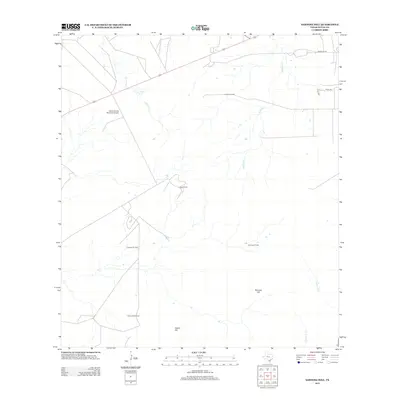
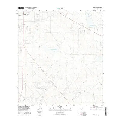
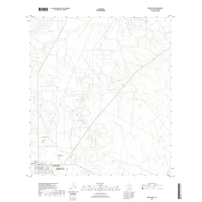
(20)- 2010 Map of Freer South, 2010 Print
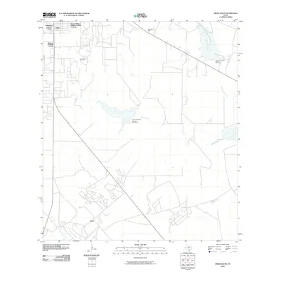 2010 Freer South2010 Print · USGSCovers Freer, including Duval County, United States, and other nearby areas
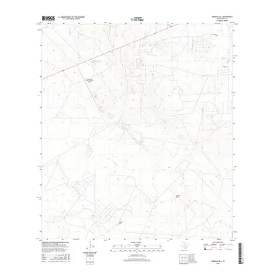
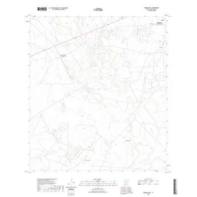
 - 2010 Map of Sarnosa Hill, 2010 Print
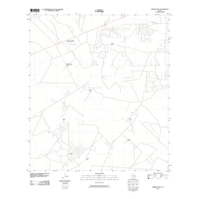 2010 Sarnosa Hill2010 Print · USGSCovers Freer, including Duval County, United States, and other nearby areas
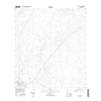
 - 2010 Map of Freer North, 2010 Print
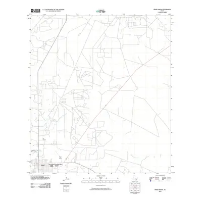 2010 Freer North2010 Print · USGSCovers Freer, including Duval County, United States, and other nearby areas
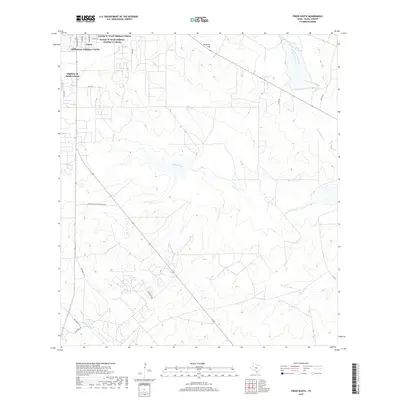
 - 2010 Map of Freer NW, 2010 Print
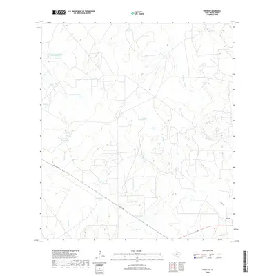
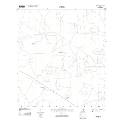 2010 Freer NW2010 Print · USGSCovers Freer, including Duval County, United States, and other nearby areas
 - 2013 Map of Sarnosa Hill, 2013 Print
 2013 Sarnosa Hill2013 Print · USGSCovers Freer, including Duval County, United States, and other nearby areas
 - 2013 Map of Freer North, 2013 Print
 2013 Freer North2013 Print · USGSCovers Freer, including Duval County, United States, and other nearby areas
 - 2013 Map of Freer South, 2013 Print
 2013 Freer South2013 Print · USGSCovers Freer, including Duval County, United States, and other nearby areas
 - 2013 Map of Freer NW, 2013 Print
 2013 Freer NW2013 Print · USGSCovers Freer, including Duval County, United States, and other nearby areas
 - 2016 Map of Freer South, 2016 Print
 2016 Freer South2016 Print · USGSCovers Freer, including Duval County, United States, and other nearby areas
 - 2016 Map of Freer NW, 2016 Print
 2016 Freer NW2016 Print · USGSCovers Freer, including Duval County, United States, and other nearby areas
 - 2016 Map of Sarnosa Hill, 2016 Print
 2016 Sarnosa Hill2016 Print · USGSCovers Freer, including Duval County, United States, and other nearby areas
 - 2016 Map of Freer North, 2016 Print
 2016 Freer North2016 Print · USGSCovers Freer, including Duval County, United States, and other nearby areas
 - 2019 Map of Freer South, 2019 Print
 2019 Freer South2019 Print · USGSCovers Freer, including Duval County, United States, and other nearby areas
 - 2019 Map of Freer North, 2019 Print
 2019 Freer North2019 Print · USGSCovers Freer, including Duval County, United States, and other nearby areas
 - 2019 Map of Sarnosa Hill, 2019 Print
 2019 Sarnosa Hill2019 Print · USGSCovers Freer, including Duval County, United States, and other nearby areas
 - 2019 Map of Freer NW, 2019 Print
 2019 Freer NW2019 Print · USGSCovers Freer, including Duval County, United States, and other nearby areas
 - 2022 Map of Freer North, 2022 Print
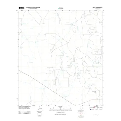
 2022 Freer North2022 Print · USGSFreer and the brush country of Duval County are captured in this modern survey of the South Texas plains. Researchers can locate the Hahl Memorial Cem and trace the drainage patterns of Government Wells Cr and Tarancahuas Cr.
 - 2022 Map of Freer NW, 2022 Print
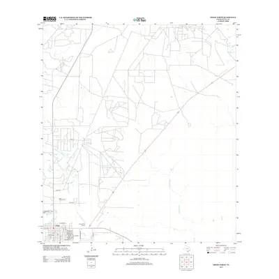
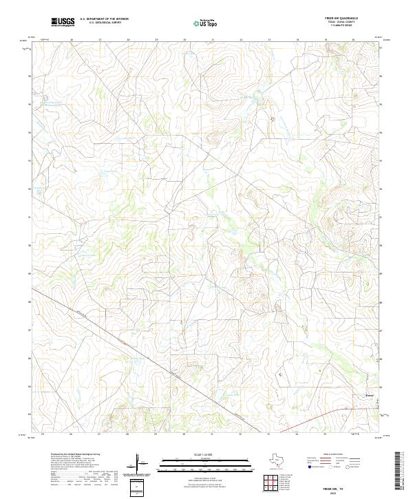 2022 Freer NW2022 Print · USGSSouth Texas ranching country comes into focus in the early 2020s north of the town of Freer. Genealogists and land researchers can trace livestock operations through family-named landmarks like Piedra Tank and Crump Tank along Ranch Rd 863.
 - 2022 Map of Sarnosa Hill, 2022 Print
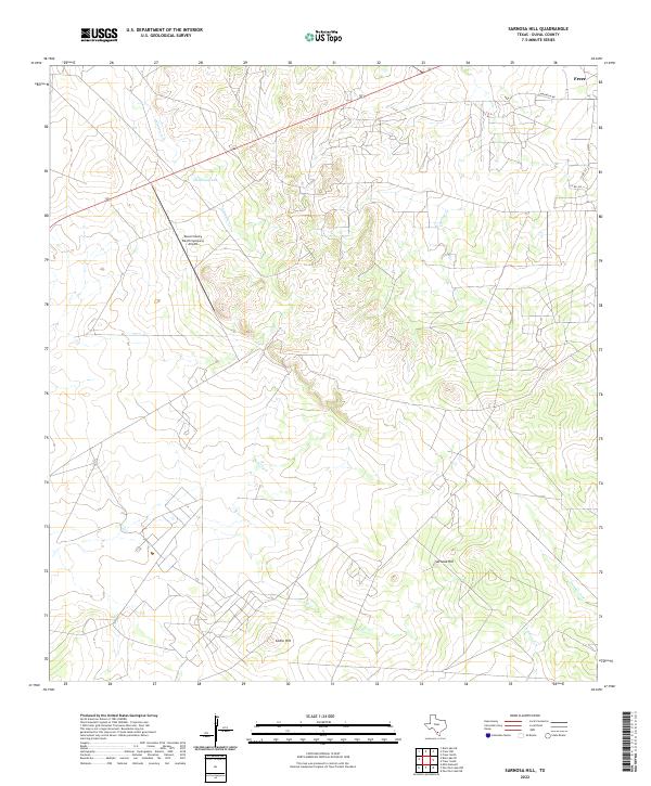 2022 Sarnosa Hill2022 Print · USGSThe brush country of Duval County appears in the early 2020s, showcasing a landscape of isolated peaks and cattle ranching infrastructure. Trace the drainages of Soledad Cr and locate high points like Sarnosa Hill or the Duval County Ranch Company Airport.
 - 2022 Map of Freer South, 2022 Print
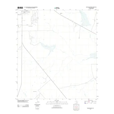
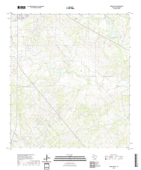 2022 Freer South2022 Print · USGSThe outskirts of Freer in the early 2020s are defined by expansive ranching lands and seasonal creek beds. Researchers can trace rural property access and topography along Rosita Cr, Piedritos Hill, and various stretches of Priv Ranch Rd.
End of results
Showing maps 1-20 of 20
Top neighborhoods of Freer
- East Pearson Street Colonia historical maps
- George W Ward Addition Colonia historical maps
- Highway 16 South Colonia historical maps
- Williamson Addition Colonia historical maps
- Magnolia Road Colonia historical maps
- Coronado Perez Addition Colonia historical maps
See more
Frequently asked questions
- What are the different types of historical maps available for Freer?
- What is the oldest map of Freer?
- Where can I purchase historical maps of Freer for my home or office?
- Where can I download high-res historical maps of Freer?
- Are there historical topographic maps available for Freer?
- Is there historical aerial imagery available for Freer?
- Where are historical maps of Freer sourced from?