Old Maps of Freer, Texas for Academic Research
Study the evolution of Freer with 27 high-resolution historic maps. Whether you're teaching, researching, or modeling changes in land use, these maps provide essential visual documentation of urban, environmental, and geographic change.
- Analyze long-term change: Track patterns in development, transportation, and natural features.
- Ideal for environmental or urban studies: Support academic projects with primary historical map data.
- Use in the classroom or lab: Educators and researchers rely on these maps to bring historical context to life.
These maps are a powerful tool for teaching, research, and visualizing how Freer has changed over the decades.
Freer, TX maps
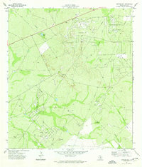
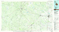
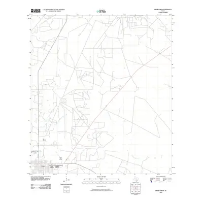
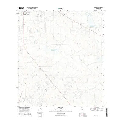
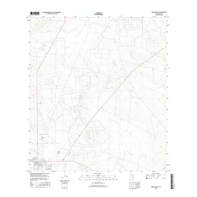
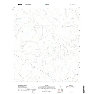
(27)- 1956 Map of Freer
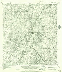 1956 Freer1956 Print · USGSDuval County is shown during a period of intense oil development and traditional ranching in the mid-1950s. Genealogists and historians can trace family properties like Cuatitas Ranch and R Mendez alongside prolific energy sites like Seven Sisters Field.
 - 1956 Map of Laredo, 1960 Print
 1956 Laredo1960 Print · USGSSouth Texas in the mid-fifties reveals a landscape shaped by border commerce, military aviation, and a booming oil industry. Trace the historic Texas and Mexican RR line through Hebbronville or locate the sprawling Mirando City Oil Field and Laredo AFB.3 unique versions available
 - 1971 Map of Freer North, 1974 Print
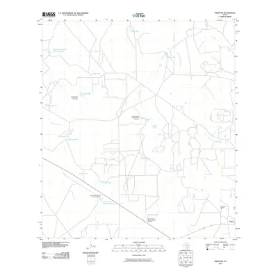
 1971 Freer North1974 Print · USGSSouth Texas oil country comes into sharp focus during the early 1970s, as energy production transforms the Duval County landscape. Genealogists and historians can trace the development of Freer, locating the Hahl Memorial Cem and the vast industrial networks of the Seven Sisters Oil Field.
 - 1971 Map of Freer South, 1974 Print
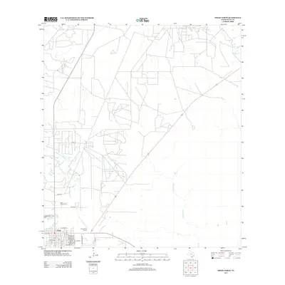
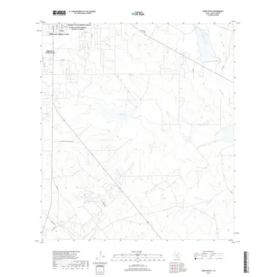
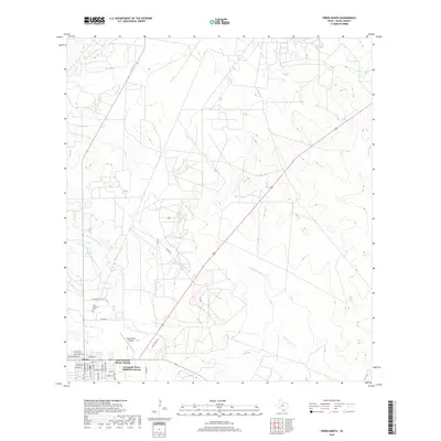
 1971 Freer South1974 Print · USGSOil production dominates the Duval County landscape in the early seventies, centered around the growing hub of Freer. Genealogists and historians can trace the local infrastructure of the Loma Novia Oil Field, find the High Sch, and locate the old Cem near Tarancahuas Creek.2 unique versions available
 - 1971 Map of Freer NW, 1974 Print
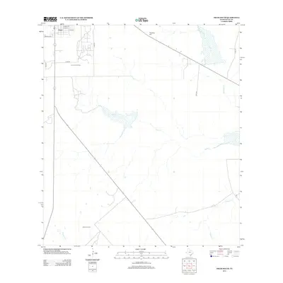
 1971 Freer NW1974 Print · USGSThe oil-rich plains of Duval County are captured here in the early 1970s as the regional energy economy expanded north of town. Researchers can trace the extensive network of the Government Wells Oil Field and historic ranch water features like Piedra Tank and Thomas Tank.
 - 1971 Map of Sarnosa Hill, 1974 Print
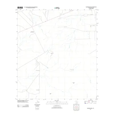
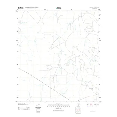
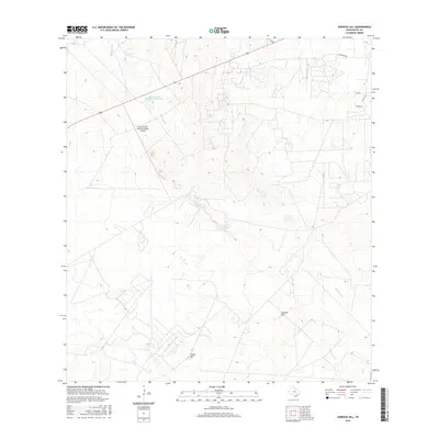
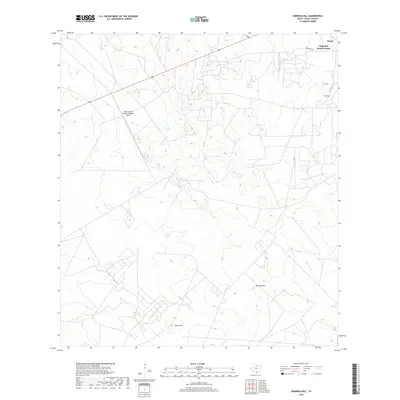
 1971 Sarnosa Hill1974 Print · USGSDuval County in the early seventies shows a landscape defined by the Texas energy boom, crisscrossed by pipelines and access roads. Researchers can trace the extensive operations at Government Wells Oil Field and locate local landmarks like Daval Ranch or the Landing Strip.
 - 1985 Map of Alice
 1985 Alice1985 Print · USGSSouth Texas in the mid-eighties was a landscape defined by extensive petroleum development and vital rail corridors. Trace the growth of Alice and San Diego alongside industrial landmarks like the Seven Sisters Oil Field and the Texas Mexican line.2 unique versions available
 - 2010 Map of Freer South, 2010 Print
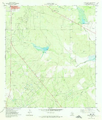
 2010 Freer South2010 Print · USGSCovers Freer, including Duval County, United States, and other nearby areas
 - 2010 Map of Sarnosa Hill, 2010 Print
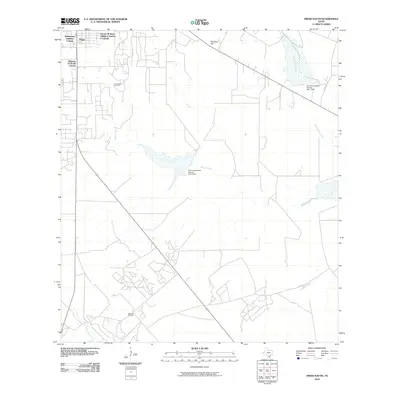
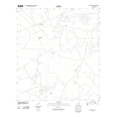 2010 Sarnosa Hill2010 Print · USGSCovers Freer, including Duval County, United States, and other nearby areas
 - 2010 Map of Freer North, 2010 Print
 2010 Freer North2010 Print · USGSCovers Freer, including Duval County, United States, and other nearby areas
 - 2010 Map of Freer NW, 2010 Print
 2010 Freer NW2010 Print · USGSCovers Freer, including Duval County, United States, and other nearby areas
 - 2013 Map of Sarnosa Hill, 2013 Print
 2013 Sarnosa Hill2013 Print · USGSCovers Freer, including Duval County, United States, and other nearby areas
 - 2013 Map of Freer North, 2013 Print
 2013 Freer North2013 Print · USGSCovers Freer, including Duval County, United States, and other nearby areas
 - 2013 Map of Freer South, 2013 Print
 2013 Freer South2013 Print · USGSCovers Freer, including Duval County, United States, and other nearby areas
 - 2013 Map of Freer NW, 2013 Print
 2013 Freer NW2013 Print · USGSCovers Freer, including Duval County, United States, and other nearby areas
 - 2016 Map of Freer South, 2016 Print
 2016 Freer South2016 Print · USGSCovers Freer, including Duval County, United States, and other nearby areas
 - 2016 Map of Freer NW, 2016 Print
 2016 Freer NW2016 Print · USGSCovers Freer, including Duval County, United States, and other nearby areas
 - 2016 Map of Sarnosa Hill, 2016 Print
 2016 Sarnosa Hill2016 Print · USGSCovers Freer, including Duval County, United States, and other nearby areas
 - 2016 Map of Freer North, 2016 Print
 2016 Freer North2016 Print · USGSCovers Freer, including Duval County, United States, and other nearby areas
 - 2019 Map of Freer South, 2019 Print
 2019 Freer South2019 Print · USGSCovers Freer, including Duval County, United States, and other nearby areas
 - 2019 Map of Freer North, 2019 Print
 2019 Freer North2019 Print · USGSCovers Freer, including Duval County, United States, and other nearby areas
 - 2019 Map of Sarnosa Hill, 2019 Print
 2019 Sarnosa Hill2019 Print · USGSCovers Freer, including Duval County, United States, and other nearby areas
 - 2019 Map of Freer NW, 2019 Print
 2019 Freer NW2019 Print · USGSCovers Freer, including Duval County, United States, and other nearby areas
 - 2022 Map of Freer North, 2022 Print
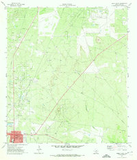
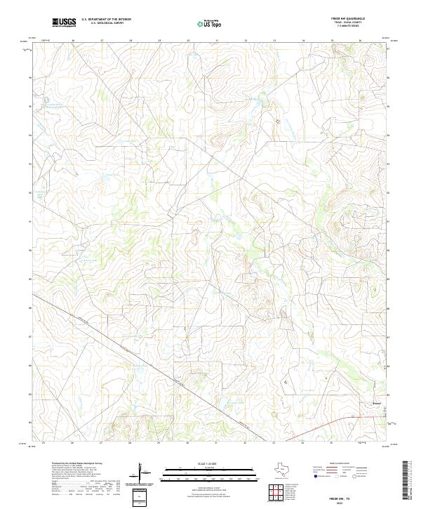
 2022 Freer North2022 Print · USGSFreer and the brush country of Duval County are captured in this modern survey of the South Texas plains. Researchers can locate the Hahl Memorial Cem and trace the drainage patterns of Government Wells Cr and Tarancahuas Cr.
 - 2022 Map of Freer NW, 2022 Print
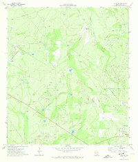
 2022 Freer NW2022 Print · USGSSouth Texas ranching country comes into focus in the early 2020s north of the town of Freer. Genealogists and land researchers can trace livestock operations through family-named landmarks like Piedra Tank and Crump Tank along Ranch Rd 863.
Showing maps 1-25 of 27
Top neighborhoods of Freer
- East Pearson Street Colonia historical maps
- George W Ward Addition Colonia historical maps
- Highway 16 South Colonia historical maps
- Williamson Addition Colonia historical maps
- Magnolia Road Colonia historical maps
- Coronado Perez Addition Colonia historical maps
See more
Frequently asked questions
- What are the different types of historical maps available for Freer?
- What is the oldest map of Freer?
- Where can I purchase historical maps of Freer for my home or office?
- Where can I download high-res historical maps of Freer?
- Are there historical topographic maps available for Freer?
- Is there historical aerial imagery available for Freer?
- Where are historical maps of Freer sourced from?