Old Maps of Williamson Addition Colonia, Freer for Academic Research
Study the evolution of Williamson Addition Colonia with 9 high-resolution historic maps. Whether you're teaching, researching, or modeling changes in land use, these maps provide essential visual documentation of urban, environmental, and geographic change.
- Analyze long-term change: Track patterns in development, transportation, and natural features.
- Ideal for environmental or urban studies: Support academic projects with primary historical map data.
- Use in the classroom or lab: Educators and researchers rely on these maps to bring historical context to life.
These maps are a powerful tool for teaching, research, and visualizing how Williamson Addition Colonia has changed over the decades.
Williamson Addition Colonia, Freer maps
(9)- 1956 Map of Freer
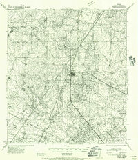 1956 Freer1956 Print · USGSDuval County is shown during a period of intense oil development and traditional ranching in the mid-1950s. Genealogists and historians can trace family properties like Cuatitas Ranch and R Mendez alongside prolific energy sites like Seven Sisters Field.
 - 1956 Map of Laredo, 1960 Print
 1956 Laredo1960 Print · USGSSouth Texas in the mid-fifties reveals a landscape shaped by border commerce, military aviation, and a booming oil industry. Trace the historic Texas and Mexican RR line through Hebbronville or locate the sprawling Mirando City Oil Field and Laredo AFB.3 unique versions available
 - 1971 Map of Freer South, 1974 Print
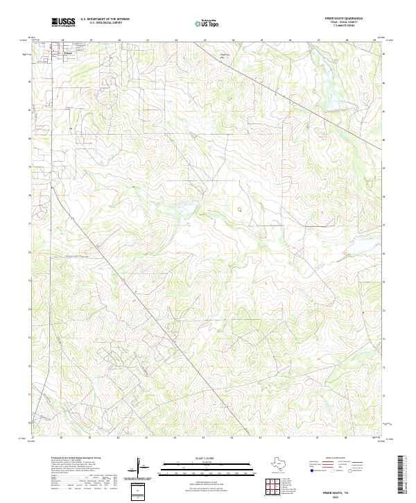
 1971 Freer South1974 Print · USGSOil production dominates the Duval County landscape in the early seventies, centered around the growing hub of Freer. Genealogists and historians can trace the local infrastructure of the Loma Novia Oil Field, find the High Sch, and locate the old Cem near Tarancahuas Creek.2 unique versions available
 - 1985 Map of Alice
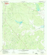
 1985 Alice1985 Print · USGSSouth Texas in the mid-eighties was a landscape defined by extensive petroleum development and vital rail corridors. Trace the growth of Alice and San Diego alongside industrial landmarks like the Seven Sisters Oil Field and the Texas Mexican line.2 unique versions available
 - 2010 Map of Freer South, 2010 Print
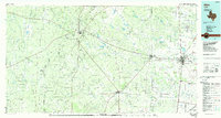
 2010 Freer South2010 Print · USGSCovers Williamson Addition Colonia, including Freer, Duval County, and other nearby areas
 - 2013 Map of Freer South, 2013 Print
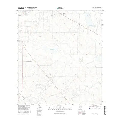
 2013 Freer South2013 Print · USGSCovers Williamson Addition Colonia, including Freer, Duval County, and other nearby areas
 - 2016 Map of Freer South, 2016 Print
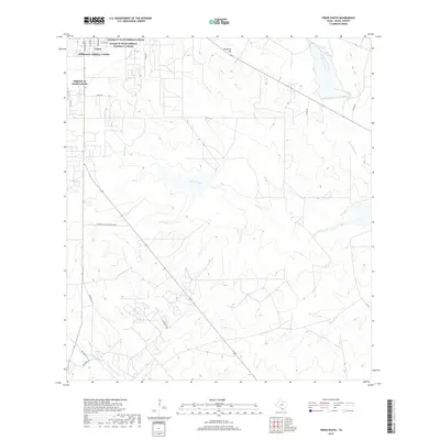
 2016 Freer South2016 Print · USGSCovers Williamson Addition Colonia, including Freer, Duval County, and other nearby areas
 - 2019 Map of Freer South, 2019 Print
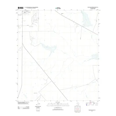
 2019 Freer South2019 Print · USGSCovers Williamson Addition Colonia, including Freer, Duval County, and other nearby areas
 - 2022 Map of Freer South, 2022 Print
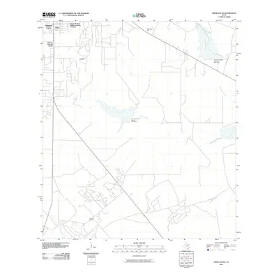
 2022 Freer South2022 Print · USGSThe outskirts of Freer in the early 2020s are defined by expansive ranching lands and seasonal creek beds. Researchers can trace rural property access and topography along Rosita Cr, Piedritos Hill, and various stretches of Priv Ranch Rd.
End of results
Showing maps 1-9 of 9
Frequently asked questions
- What are the different types of historical maps available for Williamson Addition Colonia?
- What is the oldest map of Williamson Addition Colonia?
- Where can I purchase historical maps of Williamson Addition Colonia for my home or office?
- Where can I download high-res historical maps of Williamson Addition Colonia?
- Are there historical topographic maps available for Williamson Addition Colonia?
- Is there historical aerial imagery available for Williamson Addition Colonia?
- Where are historical maps of Williamson Addition Colonia sourced from?