Old Maps of Isla, Texas
Explore 14 old maps of Isla, spanning from 1896 to today. These high-resolution historic maps reveal how streets, neighborhoods, landmarks, and natural features evolved over time — perfect for genealogy, metal detecting, research, and local history exploration.
What you can do with these maps:
- See how Isla changed over time: Compare historical maps to modern-day views to trace roads, homesites, rail lines & more.
- View detailed metadata: Each map includes creators, publishers, year, scale, and archive source.
- Overlay maps with satellite & LiDAR: Visualize the past alongside modern tools to explore terrain & human change.
- Trusted historical sources: Maps sourced from the USGS, Library of Congress, and other archives.
- Access maps your way: View online, download high-res files, or order prints for personal or research use.
Start exploring old maps of Isla to uncover forgotten places, hidden landmarks, and the deep history beneath your feet.
Isla, TX maps
(14)- 1896 Map of Rio Grande
 1896 Rio Grande1896 Print · USGSEl Paso County at the end of the nineteenth century centers on the international border and the vital western rail corridor. Researchers can trace the early route of the Southern Pacific R.R. past the settlement of Fabens.4 unique versions available
 - 1941 Map of Tornillo
 1941 Tornillo1941 Print · USGSEl Paso County's borderlands and irrigation networks are shown here at the start of the 1940s. Genealogists and historians can trace the foundations of Fabens, locate Adobe Houses, and follow the Southern Pacific railroad past Tornillo.
 - 1945 Map of Tornillo
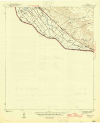 1945 Tornillo1945 Print · USGSEl Paso County's river valley and borderlands are captured here during the mid-1940s, showing the vital irrigation and rail networks of the era. Researchers can trace the Southern Pacific line past Tornillo and locate specific sites like Adobe Houses and Alamo Alto.2 unique versions available
 - 1953 Map of El Paso
 1953 El Paso1953 Print · USGSEl Paso and the border region are shown here in the early fifties, documenting a landscape of shared river life and rising military presence. Genealogists and historians can trace rail-tied communities like Smeltertown, San Elizario, and the grounds of Fort Bliss.
 - 1959 Map of El Paso, 1968 Print
 1959 El Paso1968 Print · USGSEl Paso and the international borderlands come alive in this mid-century survey of the Chihuahuan Desert. Genealogists and historians can trace rail-side settlements like Columbus and Fabens, locate the sprawling Fort Bliss, and explore the geologically unique Kilbourne Hole.2 unique versions available
 - 1964 Map of El Paso
 1964 El Paso1964 Print · USGSThe El Paso and Juarez borderlands are shown in detail during the mid-sixties, from the urban center to the remote volcanic craters of the West Potrillo Mountains. Trace the rail-and-river network through Asarco Smeltertown, the Fort Bliss Military Reservation, and Columbus.
 - 1965 Map of El Paso
 1965 El Paso1965 Print · USGSEl Paso and the Mesilla Valley are shown in the mid-1960s as the region's military and transport infrastructure expanded. Researchers can trace the irrigation network along the Rio Grande, find old border stations like Columbus, and locate Hueco Tanks.
 - 1972 Map of Isla, 1974 Print
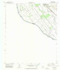 1972 Isla1974 Print · USGSThe Rio Grande valley near the Mexican border comes into sharp focus in the early seventies, detailing the complex irrigation systems of the river plain. Researchers can trace the Southern Pacific rail corridor through Fabens or locate the US Customs station at the Guadalupe Bridge.
 - 1985 Map of Tornillo
 1985 Tornillo1985 Print · USGSThe El Paso Valley borderlands appear in the mid-1980s as a structured landscape of irrigation and international transit. Researchers can trace the path of the Rio Grande past Fabens, the Southern Pacific rail line, and the Alamo Canal.2 unique versions available
 - 2010 Map of Isla, 2010 Print
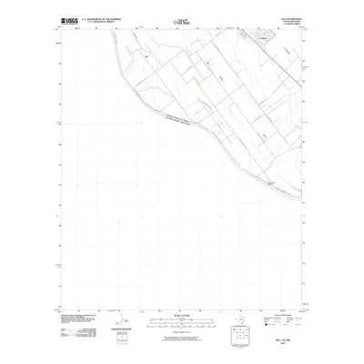 2010 Isla2010 Print · USGSThe international border south of Fabens comes into sharp focus during this period of modern land management. Genealogists and local historians can trace family-named routes and river-valley settlements like Isla, Elizario, and the crossing at Guadalupe Bridge.
 - 2012 Map of Isla, 2012 Print
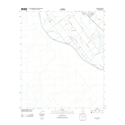 2012 Isla2012 Print · USGSThe Texas-Chihuahua border region near the turn of the decade is defined by the complex water works of the Rio Grande valley. Researchers can trace rural family-named roads and drainage networks surrounding the settlement of Isla and landmarks like the Guadalupe Bridge.
 - 2016 Map of Isla, 2016 Print
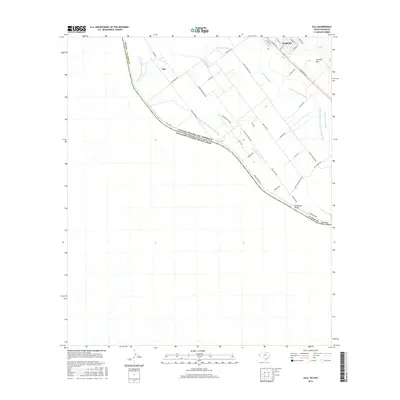 2016 Isla2016 Print · USGSThe Texas-Mexico border country near Fabens is revealed in this modern survey, showing where the Rio Grande carves through the El Paso County landscape. Researchers can trace the complex irrigation network of the Island Drain and Guadalupe Lateral or locate local landmarks like Isla and Tornillo Spur.
 - 2019 Map of Isla, 2019 Print
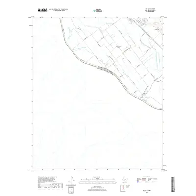 2019 Isla2019 Print · USGSThe Texas-Mexico border comes into focus in the late twenty-teens as the Rio Grande meanders through a landscape defined by irrigation. Family researchers and historians can trace the intricate network of canals like the Guadalupe Lateral or locate the Guadalupe Bridge and Tornillo Spur.
 - 2022 Map of Isla, 2022 Print
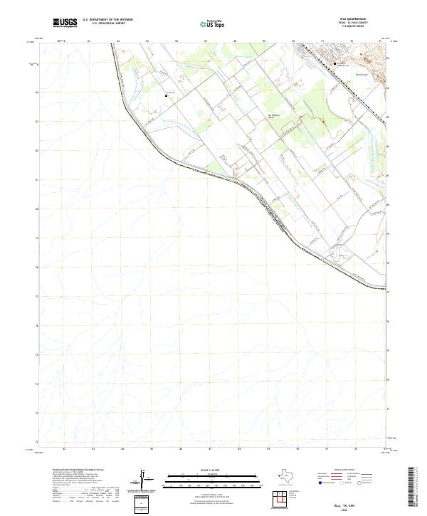 2022 Isla2022 Print · USGSThe international border along the Rio Grande defines this 2020s landscape in El Paso County. Researchers can trace irrigation networks and local heritage sites like La Isla Cem, San Elizario Island, and the Tornillo Spur rail line.
End of results
Showing maps 1-14 of 14
Top cities near Isla
- El Paso historical maps
- Socorro historical maps
- Horizon City historical maps
- San Elizario historical maps
- Fabens historical maps
- Tornillo historical maps
See more
Frequently asked questions
- What are the different types of historical maps available for Isla?
- What is the oldest map of Isla?
- Where can I purchase historical maps of Isla for my home or office?
- Where can I download high-res historical maps of Isla?
- Are there historical topographic maps available for Isla?
- Is there historical aerial imagery available for Isla?
- Where are historical maps of Isla sourced from?