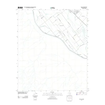
2012 Map of Isla
USGS Topo · Published 2012About this map
The Rio Grande serves as the focal point for this borderland geography, where an intricate network of irrigation and drainage channels defines the local agricultural economy. Features such as the Hansen Lateral, Fabens Drain, and Riverside Canal crisscross the landscape on San Elizario Island, reflecting the long-standing management of water in this arid environment. The settlement of Isla is situated north of the river, surrounded by a grid of rural roads named for local families and landmarks.
Find a feature on this map
41 named features on this map. Tap any name to fly to it.
Don’t see what you’re looking for? This feature index may not catch every label — zoom into the map to look around manually.
Map Details
Editions of this 2012 Isla Map
This is the sole edition of this map. No revisions or reprints were ever made.
Other maps of this area
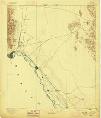
1896 · El Paso
USGS Topo · 1:125,000
1896 · Rio Grande
USGS Topo · 1:125,000
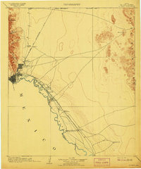
1908 · El Paso
USGS Topo · 1:125,000
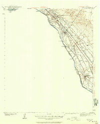
1939 · Ysleta
USGS Topo · 1:62,500
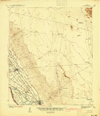
1941 · Clint
USGS Topo · 1:62,500
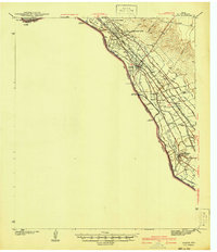
1941 · Ysleta
USGS Topo · 1:62,500
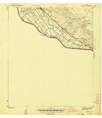
1941 · Tornillo
USGS Topo · 1:62,500
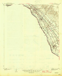
1945 · Ysleta
USGS Topo · 1:62,500
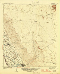
1945 · Clint
USGS Topo · 1:62,500
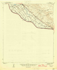
1945 · Tornillo
USGS Topo · 1:62,500