
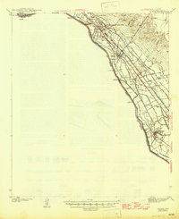
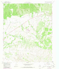
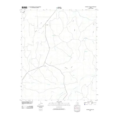
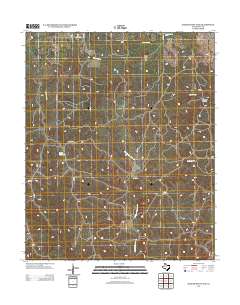
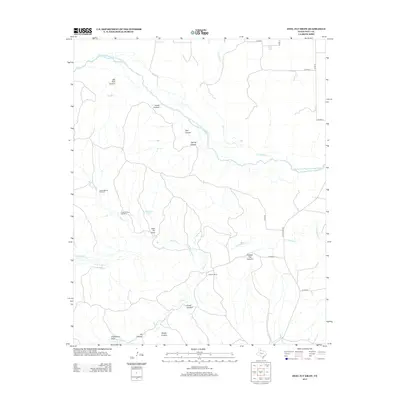
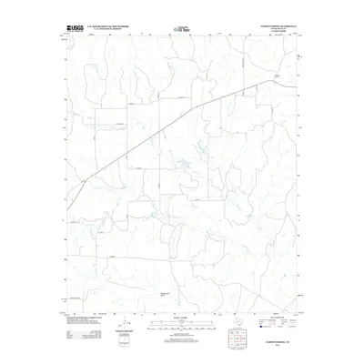
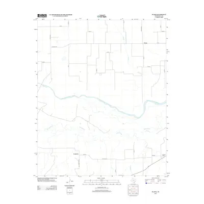
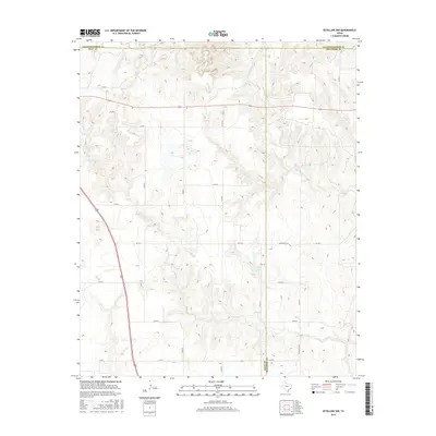
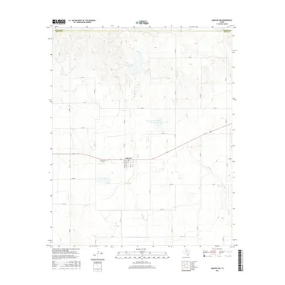
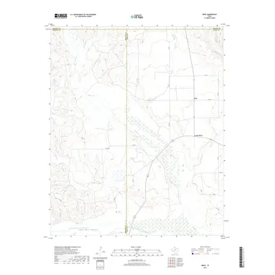
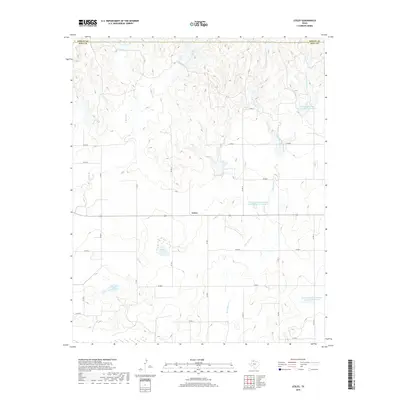
1941 Map of Ysleta
USGS Topo · Published 1941About this map
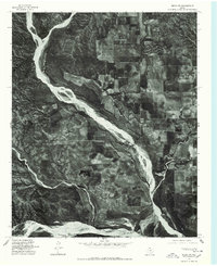
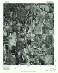
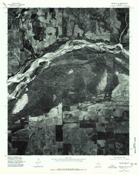
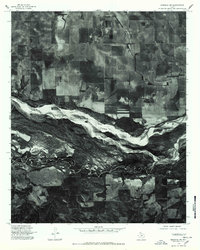
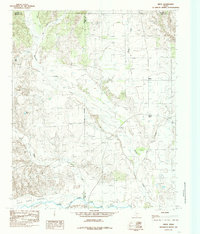
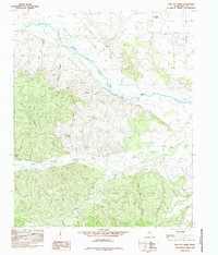
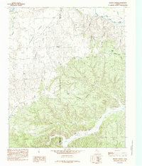
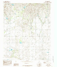
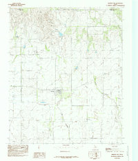
The Rio Grande defines the international boundary between Texas and Chihuahua in this pre-war survey, anchoring a landscape of complex irrigation and ancient missions. The valley floor is crisscrossed by an extensive network of artificial waterways like the Franklin Canal, Mesa Drain, and Playa Drain, which supported the agricultural life of historic settlements such as Socorro and San Elizario. These communities, along with the San Antonio Mission, represent the deep-rooted Hispanic heritage of the El Paso Lower Valley.
Find a feature on this map
34 named features on this map. Tap any name to fly to it.
Don’t see what you’re looking for? This feature index may not catch every label — zoom into the map to look around manually.
Map Details
Editions of this 1941 Ysleta Map
This is the sole edition of this map. No revisions or reprints were ever made.
Historical Maps of San Elizario Through Time
90 maps found

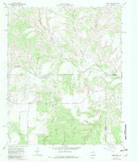
1939 Ysleta
Hall County, TX
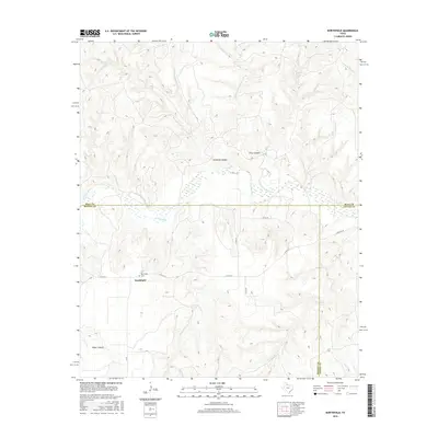
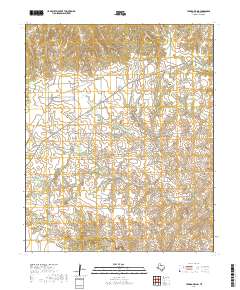
1941 Ysleta
Hall County, TX
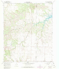
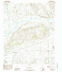
1945 Ysleta
Hall County, TX
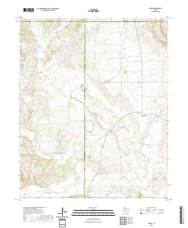
1960 Brice
Hall County, TX
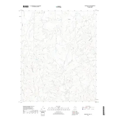
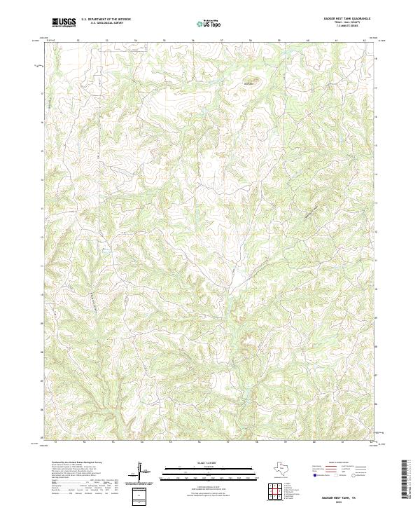
1967 Badger Nest Tank
Hall County, TX
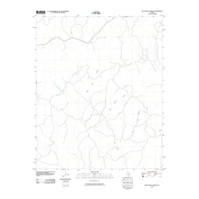
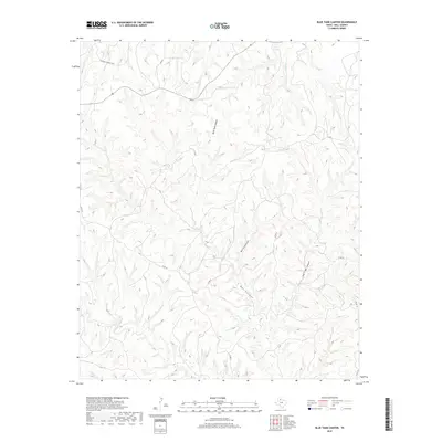
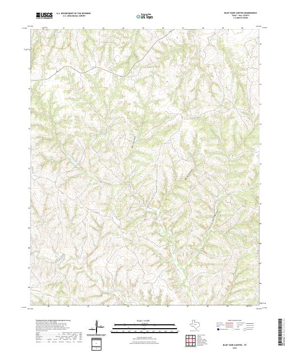
1967 Blue Tank Canyon
Hall County, TX
1967 Northfield
Hall County, TX
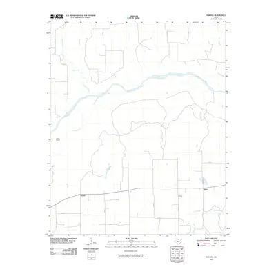
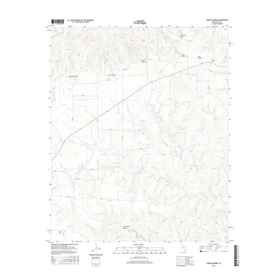
1967 Tampico Siding
Hall County, TX
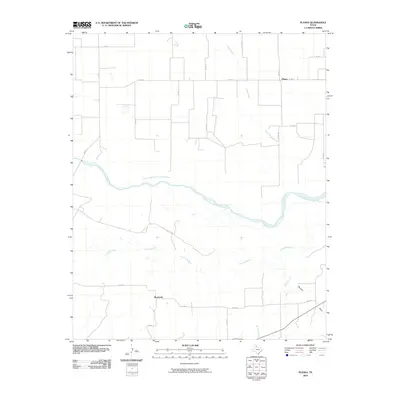
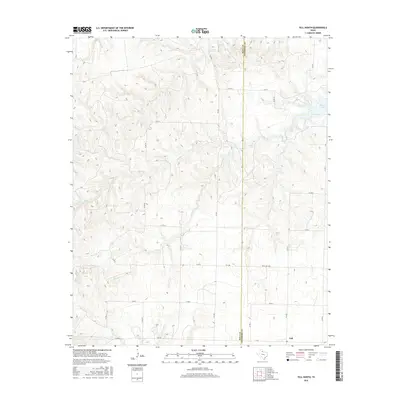
1967 Tell North
Hall County, TX
1976 Brice NE
Hall County, TX
1976 Brice NW
Hall County, TX
1976 Brice SE
Hall County, TX
1976 Brice SW
Hall County, TX
1976 Memphis NE
Hall County, TX
1976 Memphis NW
Hall County, TX
1976 Memphis SE
Hall County, TX
1976 Memphis SW
Hall County, TX
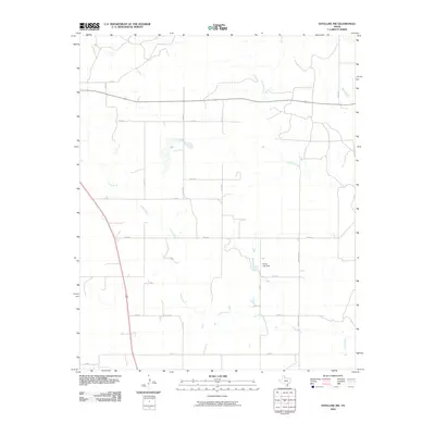
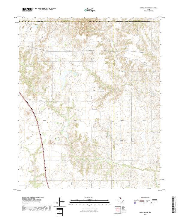
1984 Estelline NW
Hall County, TX
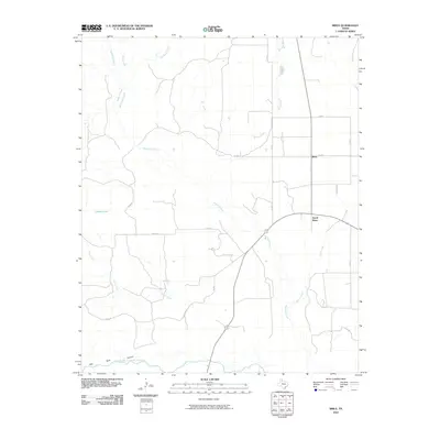
1985 Brice
Hall County, TX
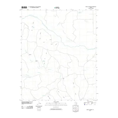
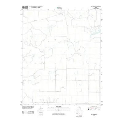
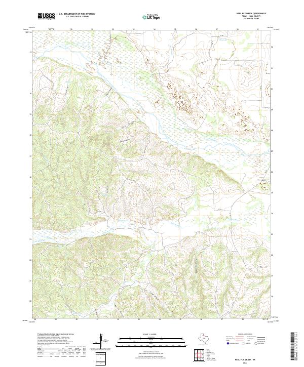
1985 Heel Fly Draw
Hall County, TX
1985 Hughes Canyon
Hall County, TX
1985 Lesley
Hall County, TX
1985 Memphis NW
Hall County, TX
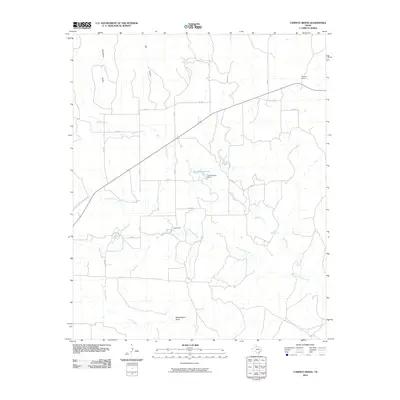
1985 Parnell
Hall County, TX
1985 Plaska
Hall County, TX
2010 Badger Nest Tank
Hall County, TX
2010 Blue Tank Canyon
Hall County, TX
2010 Brice
Hall County, TX
2010 Estelline NW
Hall County, TX
2010 Heel Fly Draw
Hall County, TX
2010 Hughes Canyon
Hall County, TX
2010 Lesley
Hall County, TX
2010 Memphis NW
Hall County, TX
2010 Northfield
Hall County, TX
2010 Parnell
Hall County, TX
2010 Plaska
Hall County, TX
2010 Tampico Siding
Hall County, TX
2010 Tell North
Hall County, TX
2012 Badger Nest Tank
Hall County, TX
2012 Blue Tank Canyon
Hall County, TX
2012 Brice
Hall County, TX
2012 Estelline NW
Hall County, TX
2012 Heel Fly Draw
Hall County, TX
2012 Hughes Canyon
Hall County, TX
2012 Memphis NW
Hall County, TX
2012 Northfield
Hall County, TX
2012 Tampico Siding
Hall County, TX
2012 Tell North
Hall County, TX
2013 Lesley
Hall County, TX
2013 Parnell
Hall County, TX
2013 Plaska
Hall County, TX
2016 Badger Nest Tank
Hall County, TX
2016 Blue Tank Canyon
Hall County, TX
2016 Brice
Hall County, TX
2016 Estelline NW
Hall County, TX
2016 Heel Fly Draw
Hall County, TX
2016 Hughes Canyon
Hall County, TX
2016 Lesley
Hall County, TX
2016 Memphis NW
Hall County, TX
2016 Northfield
Hall County, TX
2016 Parnell
Hall County, TX
2016 Plaska
Hall County, TX
2016 Tampico Siding
Hall County, TX
2016 Tell North
Hall County, TX
2019 Badger Nest Tank
Hall County, TX
2019 Blue Tank Canyon
Hall County, TX
2019 Brice
Hall County, TX
2019 Estelline NW
Hall County, TX
2019 Heel Fly Draw
Hall County, TX
2019 Hughes Canyon
Hall County, TX
2019 Lesley
Hall County, TX
2019 Memphis NW
Hall County, TX
2019 Northfield
Hall County, TX
2019 Parnell
Hall County, TX
2019 Plaska
Hall County, TX
2019 Tampico Siding
Hall County, TX
2019 Tell North
Hall County, TX
2022 Badger Nest Tank
Hall County, TX
2022 Blue Tank Canyon
Hall County, TX
2022 Brice
Hall County, TX
2022 Estelline NW
Hall County, TX
2022 Heel Fly Draw
Hall County, TX
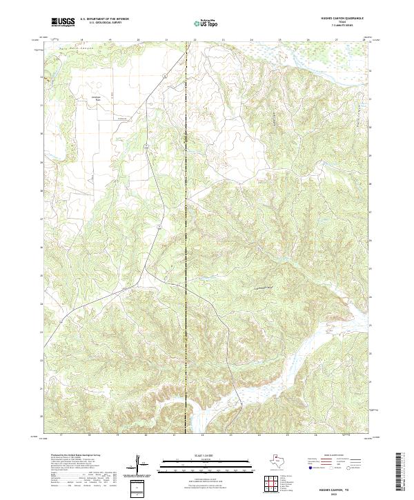
2022 Hughes Canyon
Hall County, TX
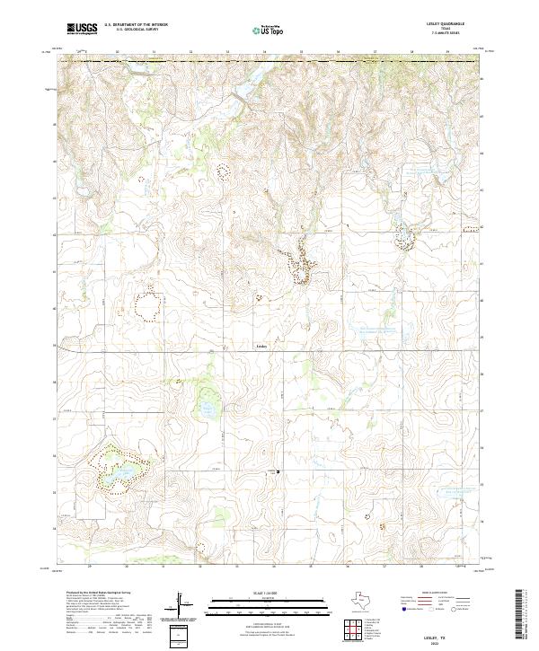
2022 Lesley
Hall County, TX
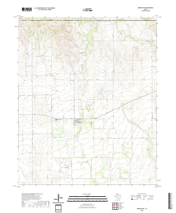
2022 Memphis NW
Hall County, TX
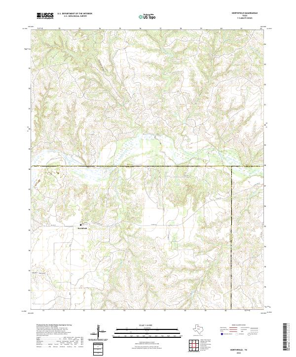
2022 Northfield
Hall County, TX
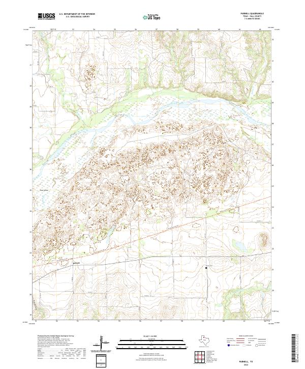
2022 Parnell
Hall County, TX
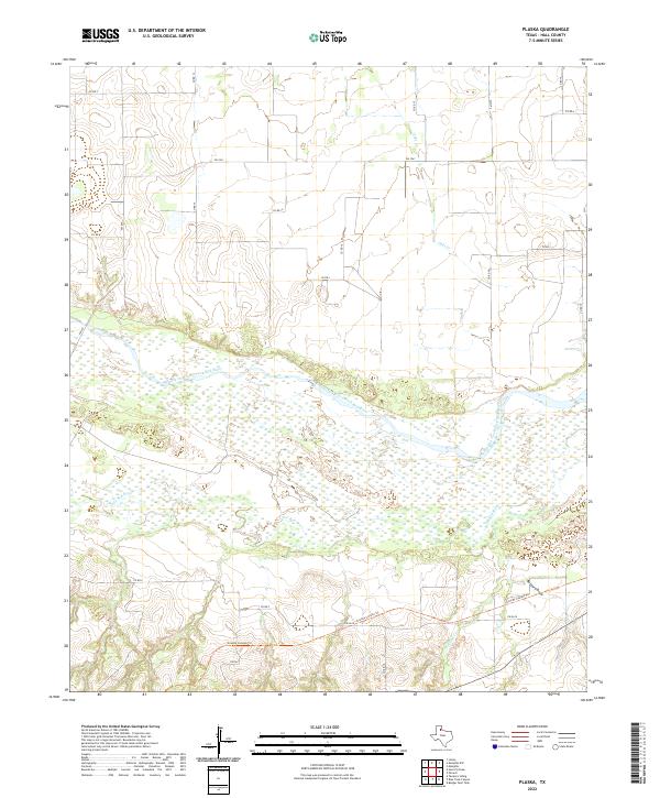
2022 Plaska
Hall County, TX
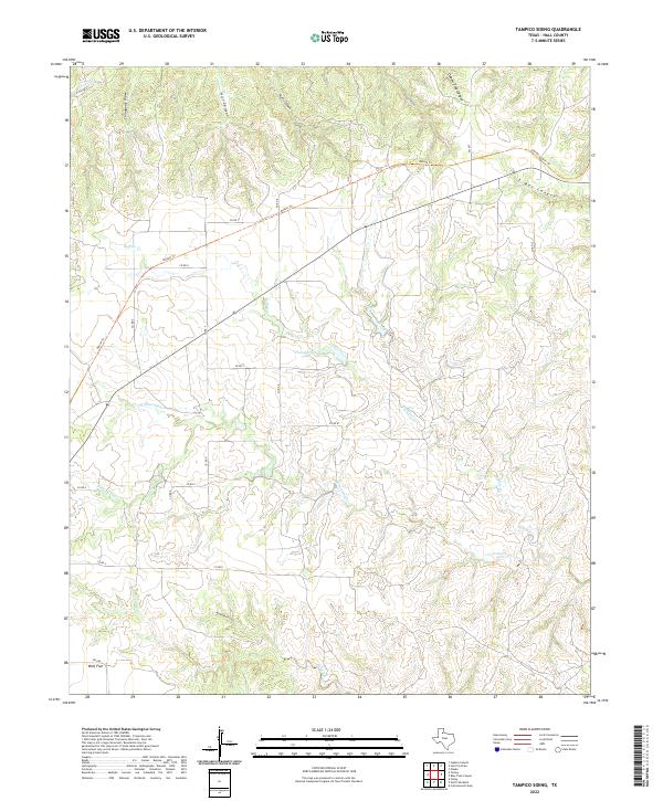
2022 Tampico Siding
Hall County, TX
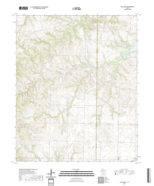
2022 Tell North
Hall County, TX