
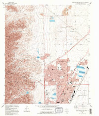
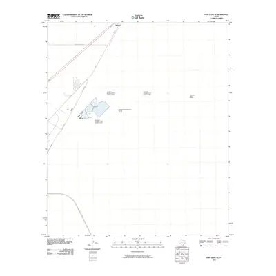
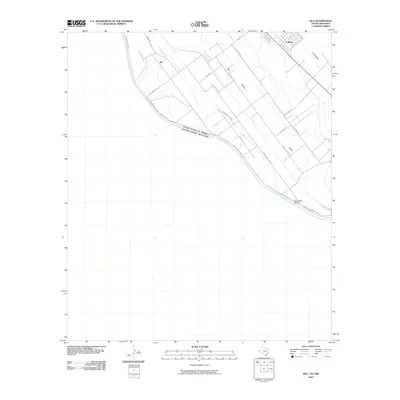
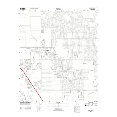
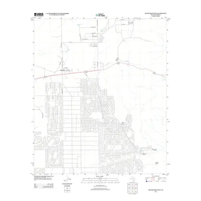
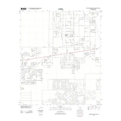
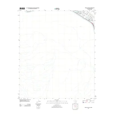
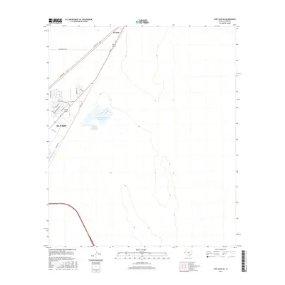
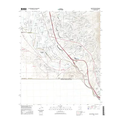
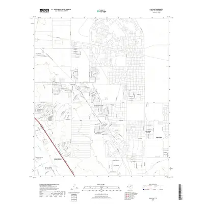
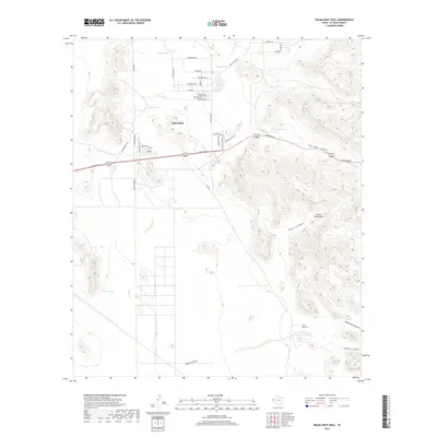
1939 Map of Heuco Tanks
USGS Topo · Published 1961About this map
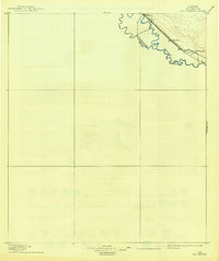
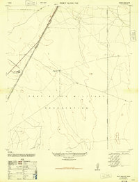
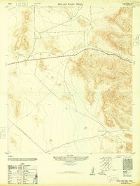
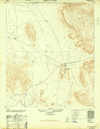
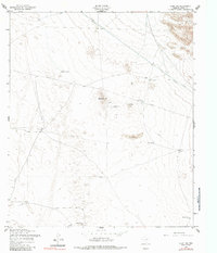
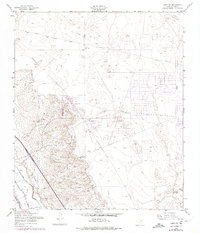
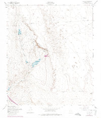
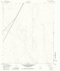
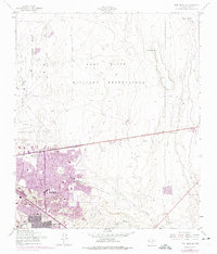
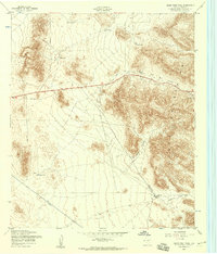
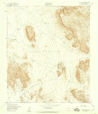
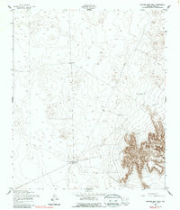
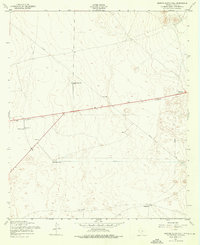
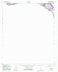
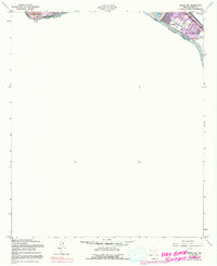
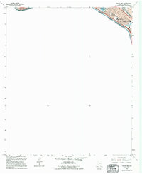
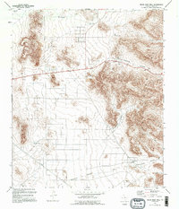
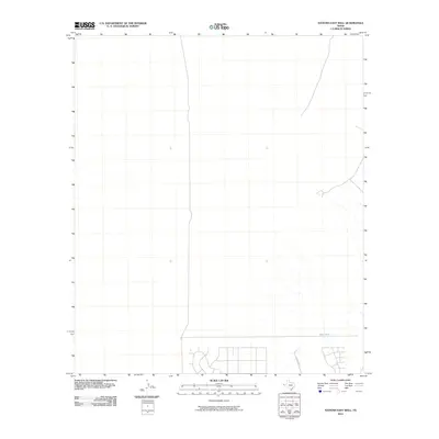
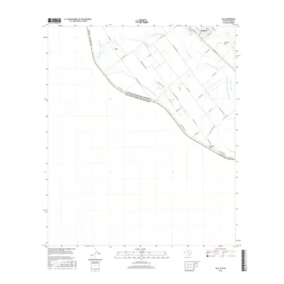
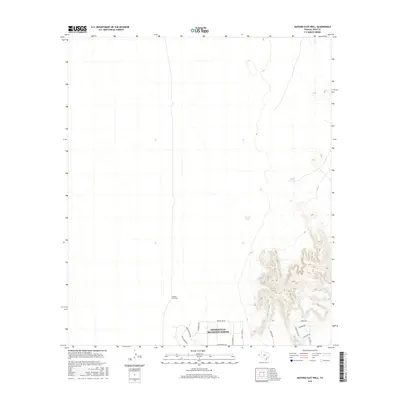
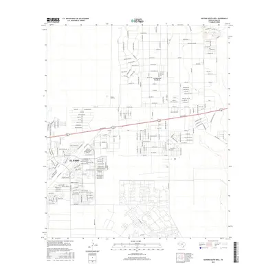
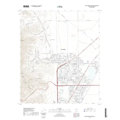
The Hueco Mountains rise sharply above the West Texas desert in this 1939 survey, defining a landscape shaped by scarce water and historic transit. Ranching life centers around isolated outposts and livestock water sources such as Escontrias Ranch, Deep Well Ranch, and Nations East Well. This era captures a moment when the rugged Rimrock terrain was navigated by both the ancient path of the Old Butterfield Trail and the emerging modern corridor of the Carlsbad Highway. The presence of an Airway Beacon near Nations South Well highlights the transition into the aviation age across this El Paso County landscape. Researchers will find a detailed record of high-desert infrastructure, from the Rockhouse in the south to the Joint Well on the New Mexico border.
Find a feature on this map
16 named features on this map. Tap any name to fly to it.
Don’t see what you’re looking for? This feature index may not catch every label — zoom into the map to look around manually.
Map Details
Editions of this 1939 Heuco Tanks Map
This is the sole edition of this map. No revisions or reprints were ever made.
Historical Maps of El Paso Through Time
107 maps found
1896 Rio Grande
El Paso County, TX
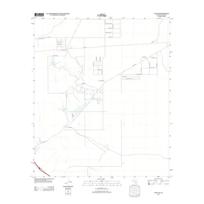
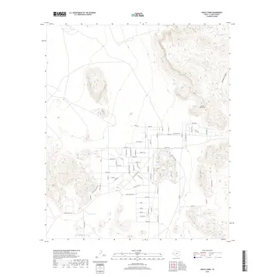
1939 Heuco Tanks
El Paso County, TX

1940 Heuco Tanks
El Paso County, TX

1944 Heuco Tanks
El Paso County, TX
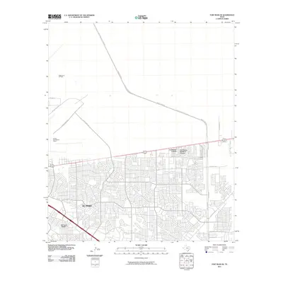
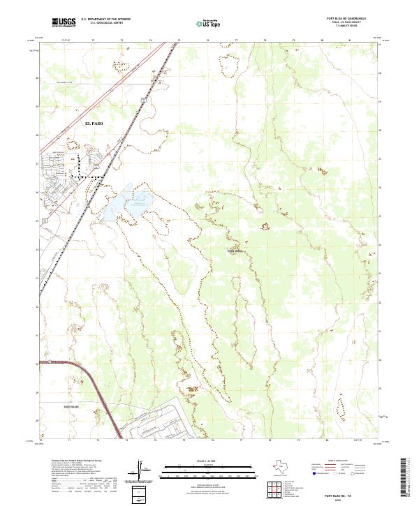
1948 Fort Bliss NE
El Paso County, TX

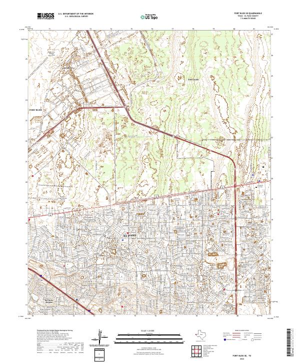
1948 Fort Bliss SE
El Paso County, TX
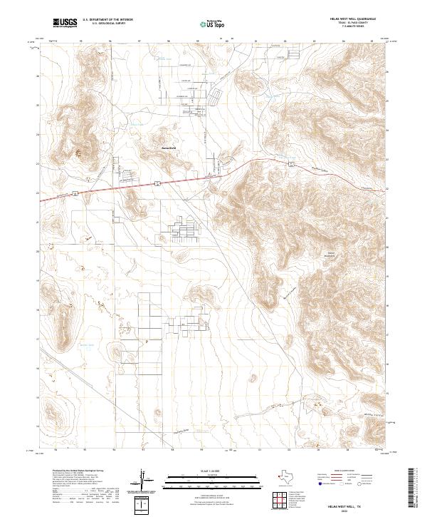
1948 Helms West Well
El Paso County, TX
1948 Heuco Tanks
El Paso County, TX
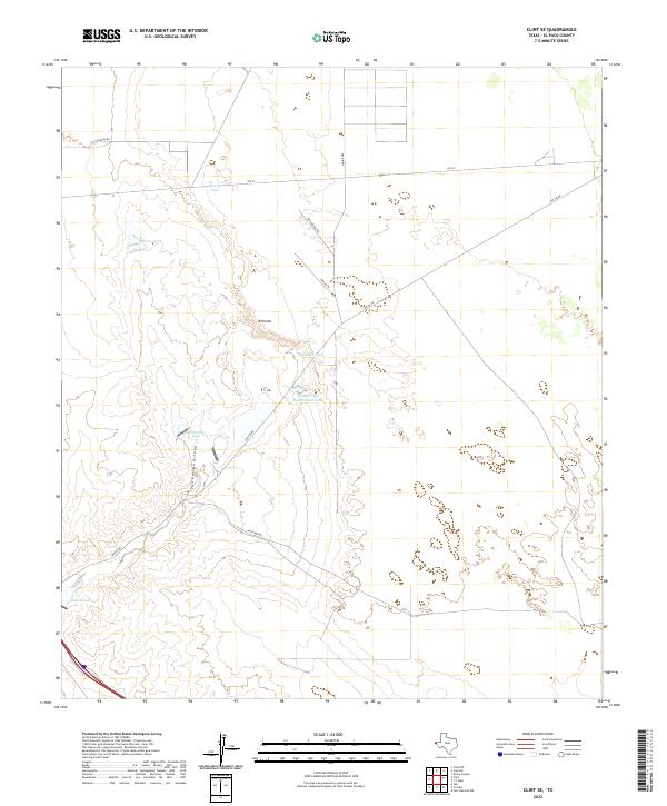
1955 Clint NE
El Paso County, TX
1955 Clint NW
El Paso County, TX
1955 Clint SE
El Paso County, TX
1955 Fort Bliss NE
El Paso County, TX
1955 Fort Bliss SE
El Paso County, TX
1955 Helms West Well
El Paso County, TX
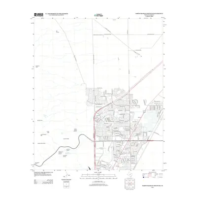
1955 Heuco Tanks
El Paso County, TX
1955 Nations East Well
El Paso County, TX
1955 Nations South Well
El Paso County, TX
1955 North Franklin Mountain
El Paso County, TX
1955 Smeltertown
El Paso County, TX
1955 Ysleta
El Paso County, TX
1955 Ysleta NW
El Paso County, TX
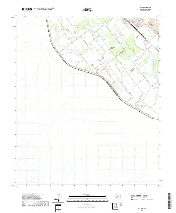
1972 Isla
El Paso County, TX
1990 Ysleta NW
El Paso County, TX
1994 Fort Bliss SE
El Paso County, TX

1994 Smeltertown
El Paso County, TX

1994 Ysleta
El Paso County, TX
1994 Ysleta NW
El Paso County, TX
1995 Clint NE
El Paso County, TX

1995 Clint NW
El Paso County, TX
1995 Clint SE
El Paso County, TX
1995 Fort Bliss NE
El Paso County, TX
1995 Helms West Well
El Paso County, TX
1995 Hueco Tanks
El Paso County, TX
1995 Nations East Well
El Paso County, TX
1995 Nations South Well
El Paso County, TX
1995 North Franklin Mountain
El Paso County, TX

1996 Smeltertown
El Paso County, TX
2010 Clint NE
El Paso County, TX
2010 Clint NW
El Paso County, TX
2010 Clint SE
El Paso County, TX
2010 Fort Bliss NE
El Paso County, TX
2010 Fort Bliss SE
El Paso County, TX
2010 Helms West Well
El Paso County, TX
2010 Hueco Tanks
El Paso County, TX
2010 Isla
El Paso County, TX
2010 Nations East Well
El Paso County, TX
2010 Nations South Well
El Paso County, TX
2010 North Franklin Mountain
El Paso County, TX
2010 Smeltertown
El Paso County, TX
2010 Ysleta
El Paso County, TX
2010 Ysleta NW
El Paso County, TX
2012 Clint NE
El Paso County, TX
2012 Clint NW
El Paso County, TX
2012 Clint SE
El Paso County, TX
2012 Fort Bliss NE
El Paso County, TX
2012 Fort Bliss SE
El Paso County, TX
2012 Helms West Well
El Paso County, TX
2012 Hueco Tanks
El Paso County, TX
2012 Isla
El Paso County, TX
2012 Nations East Well
El Paso County, TX
2012 Nations South Well
El Paso County, TX
2012 North Franklin Mountain
El Paso County, TX
2012 Smeltertown
El Paso County, TX
2012 Ysleta
El Paso County, TX
2012 Ysleta NW
El Paso County, TX
2016 Clint NE
El Paso County, TX
2016 Clint NW
El Paso County, TX
2016 Clint SE
El Paso County, TX
2016 Fort Bliss NE
El Paso County, TX
2016 Fort Bliss SE
El Paso County, TX
2016 Helms West Well
El Paso County, TX
2016 Hueco Tanks
El Paso County, TX
2016 Isla
El Paso County, TX
2016 Nations East Well
El Paso County, TX
2016 Nations South Well
El Paso County, TX
2016 North Franklin Mountain
El Paso County, TX
2016 Smeltertown
El Paso County, TX
2016 Ysleta
El Paso County, TX
2016 Ysleta NW
El Paso County, TX
2019 Clint NE
El Paso County, TX
2019 Clint NW
El Paso County, TX
2019 Clint SE
El Paso County, TX
2019 Fort Bliss NE
El Paso County, TX
2019 Fort Bliss SE
El Paso County, TX
2019 Helms West Well
El Paso County, TX
2019 Hueco Tanks
El Paso County, TX

2019 Isla
El Paso County, TX
2019 Nations East Well
El Paso County, TX
2019 Nations South Well
El Paso County, TX
2019 North Franklin Mountain
El Paso County, TX
2019 Smeltertown
El Paso County, TX
2019 Ysleta
El Paso County, TX
2019 Ysleta NW
El Paso County, TX

2022 Clint NE
El Paso County, TX

2022 Clint NW
El Paso County, TX
2022 Clint SE
El Paso County, TX
2022 Fort Bliss NE
El Paso County, TX
2022 Fort Bliss SE
El Paso County, TX
2022 Helms West Well
El Paso County, TX
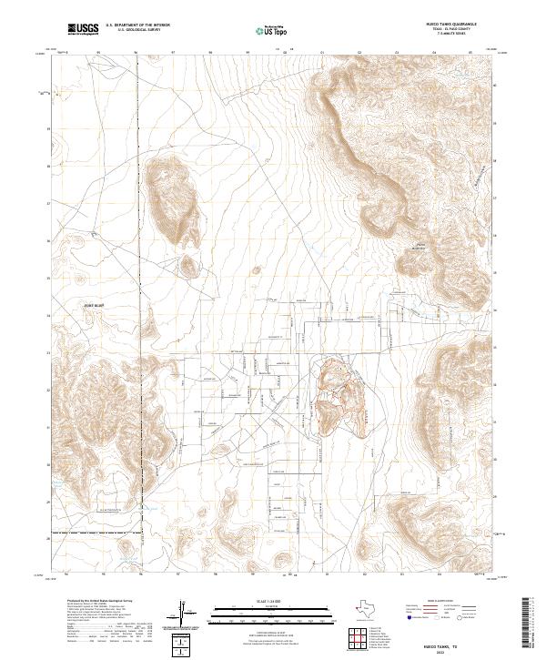
2022 Hueco Tanks
El Paso County, TX
2022 Isla
El Paso County, TX
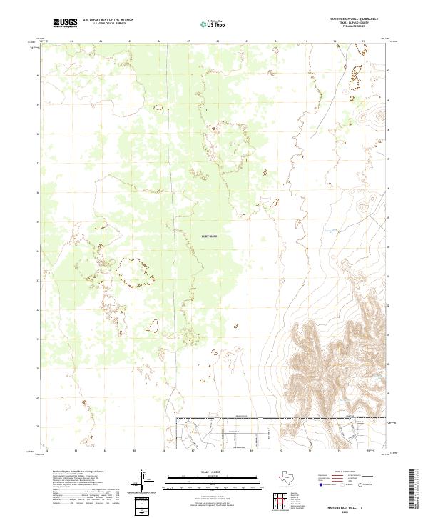
2022 Nations East Well
El Paso County, TX
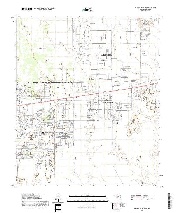
2022 Nations South Well
El Paso County, TX
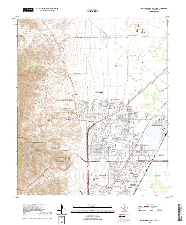
2022 North Franklin Mountain
El Paso County, TX
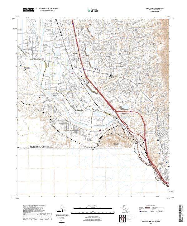
2022 Smeltertown
El Paso County, TX
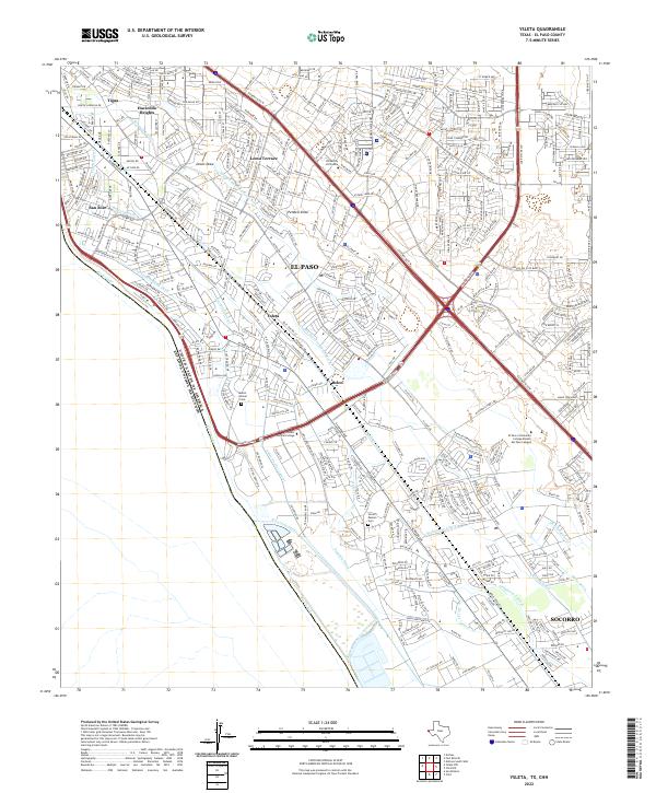
2022 Ysleta
El Paso County, TX
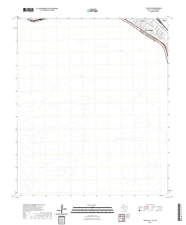
2022 Ysleta NW
El Paso County, TX
Featured Locations
- Deerfield Park Colonia, TX
- Butterfield City Number 4 Colonia, TX
- Homestead Meadows South Number 6 Colonia, TX
- El Paso, TX
- McCracken Estates Colonia, TX