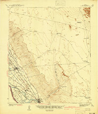
1945 Map of Clint
USGS Topo · Published 1945About this map
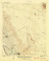
Clint and the surrounding agricultural bottomlands of the Upper Rio Grande valley are defined here by a sophisticated network of irrigation and drainage canals. Surveyed in 1939, this landscape illustrates the intensive water management required for farming along the Rio Grande, where features like the Franklin Canal and San Elizario Drain crisscross the valley floor. The dual presence of the Texas and Southern Pacific and Texas and New Orleans railroads through Fabens and Cuadrilla highlights the importance of rail transit for moving goods from these borderland settlements.
Find a feature on this map
32 named features on this map. Tap any name to fly to it.
Don’t see what you’re looking for? This feature index may not catch every label — zoom into the map to look around manually.
Map Details
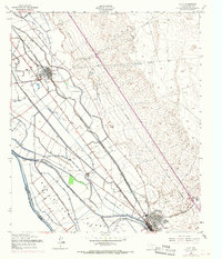
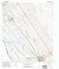
Editions of this 1945 Clint Map
This is the sole edition of this map. No revisions or reprints were ever made.
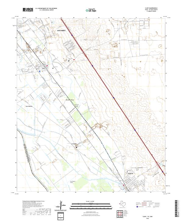
Historical Maps of Socorro Through Time
5 maps found