Old Maps of Travis, Texas for Hiking & Exploration
Hike through history with 10 historic maps of Travis. Explore old trails, ghost towns, and forgotten backroads — perfect for outdoor adventurers and local explorers.
- Rediscover forgotten places: Map out old mining camps, roads, and footpaths that no longer exist on modern maps.
- Layer with modern tools: Combine with LiDAR or satellite views to plan hikes through historical terrain.
- Made for exploration: Popular among hikers, overlanders, and local history lovers.
Use these maps to find adventure and explore the hidden past of Travis.
Travis, TX maps
(10)- 1892 Map of Temple
 1892 Temple1892 Print · USGSTexas at the turn of the century shows a landscape defined by emerging railroad junctions and river settlements. Genealogists can trace early homesteads and rail-town growth in Temple, McGregor, and Belton near the banks of the Leon River.6 unique versions available
 - 1954 Map of Waco, 1964 Print
 1954 Waco1964 Print · USGSCentral Texas during the mid-fifties shows a landscape defined by the expansion of Fort Hood Military Reservation and the Brazos river system. Trace the rail lines and early airfields like James Connally Air Force Base and settlements like Temple or McGregor.2 unique versions available
 - 1955 Map of Waco
 1955 Waco1955 Print · USGSCentral Texas at the peak of the Cold War reveals a landscape defined by military expansion and major water projects. Researchers can trace the footprints of Fort Hood, the waters of Lake Waco, and regional hubs like Temple or Mexia.
 - 1963 Map of Lott, 1965 Print
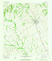 1963 Lott1965 Print · USGSThe town of Lott and the settlement of Travis are captured in the early sixties as they developed along the Southern Pacific line. Researchers can trace family sites at Union Cem and Phillips Cem or locate old landmarks like the Rodeo Ground.2 unique versions available
 - 1985 Map of Temple
 1985 Temple1985 Print · USGSCentral Texas in the mid-eighties shows a landscape of massive defense installations and deep-rooted farming communities. Genealogists and historians can trace the development of Temple and Gatesville, locate the Gatesville State School for Boys, or explore rural outposts like Zabcikville and Westphalia.2 unique versions available
 - 2010 Map of Lott, 2010 Print
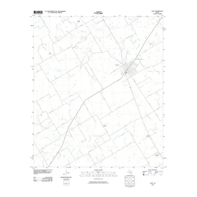 2010 Lott2010 Print · USGSCovers Travis, including Lott, Falls County, and other nearby areas
 - 2012 Map of Lott, 2012 Print
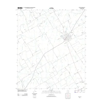 2012 Lott2012 Print · USGSCovers Travis, including Lott, Falls County, and other nearby areas
 - 2016 Map of Lott, 2016 Print
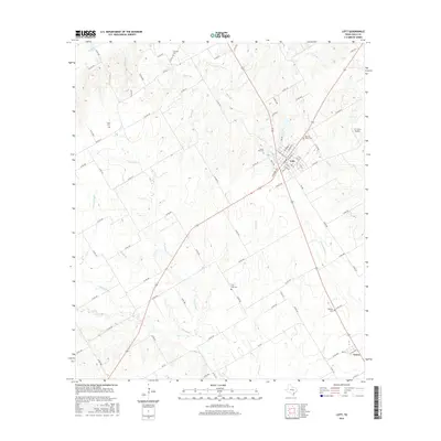 2016 Lott2016 Print · USGSCovers Travis, including Lott, Falls County, and other nearby areas
 - 2019 Map of Lott, 2019 Print
 2019 Lott2019 Print · USGSCovers Travis, including Lott, Falls County, and other nearby areas
 - 2022 Map of Lott, 2022 Print
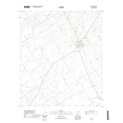
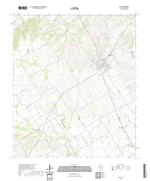 2022 Lott2022 Print · USGSThe Falls County countryside near Lott is revealed in this modern survey, showing the town's detailed street plan and surrounding farm-to-market roads. Genealogists can trace family footprints at Carolina Cem, Sacred Heart Cem, and the rural settlement of Travis.
End of results
Showing maps 1-10 of 10
Top cities near Travis
- Marlin historical maps
- Lorena historical maps
- Bruceville-Eddy historical maps
- Rosebud historical maps
- Rogers historical maps
- Chilton historical maps
See more
Frequently asked questions
- What are the different types of historical maps available for Travis?
- What is the oldest map of Travis?
- Where can I purchase historical maps of Travis for my home or office?
- Where can I download high-res historical maps of Travis?
- Are there historical topographic maps available for Travis?
- Is there historical aerial imagery available for Travis?
- Where are historical maps of Travis sourced from?