Old Maps of La Grange, Texas for Academic Research
Study the evolution of La Grange with 16 high-resolution historic maps. Whether you're teaching, researching, or modeling changes in land use, these maps provide essential visual documentation of urban, environmental, and geographic change.
- Analyze long-term change: Track patterns in development, transportation, and natural features.
- Ideal for environmental or urban studies: Support academic projects with primary historical map data.
- Use in the classroom or lab: Educators and researchers rely on these maps to bring historical context to life.
These maps are a powerful tool for teaching, research, and visualizing how La Grange has changed over the decades.
La Grange, TX maps
(16)- 1953 Map of Seguin, 1965 Print
 1953 Seguin1965 Print · USGSSouth Texas in the early fifties shows a thriving river-and-rail economy across the Guadalupe and Colorado basins. Genealogists and historians can trace rail routes like the Southern Pacific through Seguin, locate oil wells, or find the Gary AAF near San Marcos.4 unique versions available
 - 1956 Map of La Grange
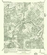 1956 La Grange1956 Print · USGSCentral Fayette County thrived as a rail and river hub at the start of the twentieth century, anchored by the crossroads of La Grange. Genealogists can trace family footprints through rural settlements like Swiss Alps, Ammansville, and Oldenburg.
 - 1957 Map of La Grange East, 1958 Print
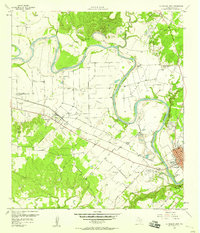
 1957 La Grange East1958 Print · USGSFayette County in the late fifties shows a rural landscape transitioning around the growing hub of La Grange along the Colorado River. Researchers can locate family landmarks like Moore Cem, the Randolph High School, and the rural community of Rutersville.2 unique versions available
 - 1958 Map of La Grange West
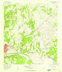
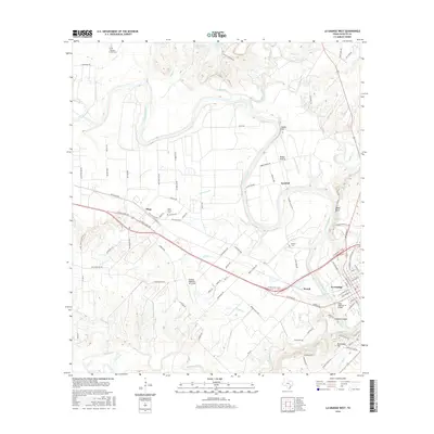
 1958 La Grange West1958 Print · USGSFayette County in the late 1950s is defined by the winding Colorado River and the industrial activity of the strip mines along its banks. Local historians can trace the rural church and school network through St Jerome Sch, Mt Zion Ch, and the Plum Grove Cem.3 unique versions available
 - 1958 Map of Seguin
 1958 Seguin1958 Print · USGSSouth Texas in the late fifties was a network of river-valley settlements and active oilfields tied together by major rail lines. Genealogists and historians can trace family-named sites across Rabb Prairie, locate the Behring Store, or follow the Southern Pacific through Schulenburg.
 - 1985 Map of Eagle Lake
 1985 Eagle Lake1985 Print · USGSSoutheast Texas in the mid-eighties shows a landscape defined by the Colorado River and a booming energy sector. Genealogists and historians can trace rail-tied towns like La Grange and Fayetteville or locate the Frelsburg Oil Field and Stephen F Austin State Park.2 unique versions available
 - 2010 Map of La Grange West, 2010 Print
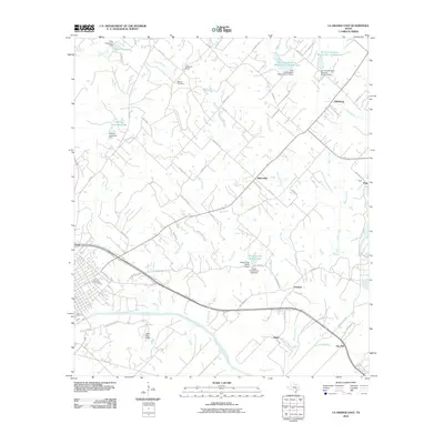
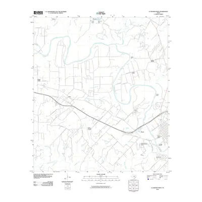 2010 La Grange West2010 Print · USGSCovers La Grange, including Plum, Indian Creek, and other nearby areas
 - 2010 Map of La Grange East, 2010 Print
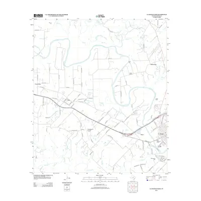
 2010 La Grange East2010 Print · USGSCovers La Grange, including Gay Hill, Rutersville, and other nearby areas
 - 2013 Map of La Grange West, 2013 Print
 2013 La Grange West2013 Print · USGSCovers La Grange, including Plum, Indian Creek, and other nearby areas
 - 2013 Map of La Grange East, 2013 Print
 2013 La Grange East2013 Print · USGSCovers La Grange, including Gay Hill, Rutersville, and other nearby areas
 - 2016 Map of La Grange West, 2016 Print
 2016 La Grange West2016 Print · USGSCovers La Grange, including Plum, Indian Creek, and other nearby areas
 - 2016 Map of La Grange East, 2016 Print
 2016 La Grange East2016 Print · USGSCovers La Grange, including Gay Hill, Rutersville, and other nearby areas
 - 2019 Map of La Grange West, 2019 Print
 2019 La Grange West2019 Print · USGSCovers La Grange, including Plum, Indian Creek, and other nearby areas
 - 2019 Map of La Grange East, 2019 Print
 2019 La Grange East2019 Print · USGSCovers La Grange, including Gay Hill, Rutersville, and other nearby areas
 - 2022 Map of La Grange East, 2022 Print
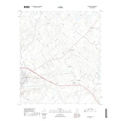
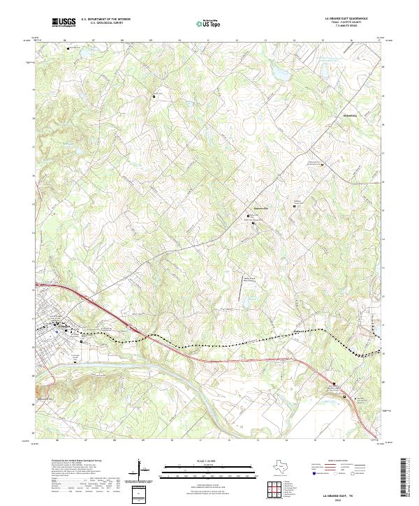 2022 La Grange East2022 Print · USGSFayette County's river-bend geography and diverse community history are on display in this contemporary survey. Researchers can trace numerous family and community sites, from the La Grange Jewish Cem to the Rutersville College Cem and Monument Hill.
 - 2022 Map of La Grange West, 2022 Print
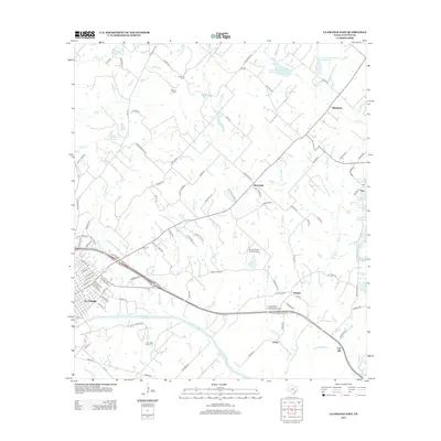
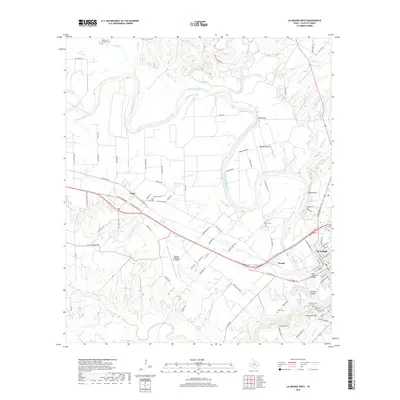
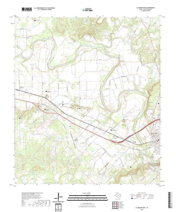 2022 La Grange West2022 Print · USGSFayette County settlement and the river valley are captured here in the early twenty-first century. Researchers can trace family history through numerous rural landmarks like Plum Grove Cem, Saint James Church, and Rabbs Prairie.
End of results
Showing maps 1-16 of 16
Top cities near La Grange
- Schulenburg historical maps
- Weimar historical maps
- Flatonia historical maps
- Fayetteville historical maps
- Carmine historical maps
- Ellinger historical maps
See more
Frequently asked questions
- What are the different types of historical maps available for La Grange?
- What is the oldest map of La Grange?
- Where can I purchase historical maps of La Grange for my home or office?
- Where can I download high-res historical maps of La Grange?
- Are there historical topographic maps available for La Grange?
- Is there historical aerial imagery available for La Grange?
- Where are historical maps of La Grange sourced from?