Old Maps of Post Oak, Texas for Genealogy
Trace your family roots with 9 historic maps of Post Oak. These high-res maps reveal old neighborhoods, homesites, landmarks, and streets — helping you uncover where your ancestors lived and how the area evolved over time.
- Explore historic neighborhoods: Identify where your relatives may have lived in the 1800s or 1900s.
- Compare maps over time: Trace the changes in streets, buildings, and landmarks for multi-generational research.
- Perfect for genealogy & ancestry research: Used by family historians and researchers to map out lineage and migration.
These maps are an incredible resource for exploring your personal connection to Post Oak's past.
Post Oak, TX maps
(9)- 1919 Map of Giddings
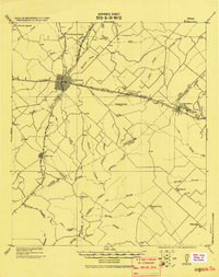 1919 Giddings1919 Print · USGSGiddings and the surrounding Lee County countryside are documented here at the end of the Great War era, when rail travel dominated the Texas interior. Local historians can trace the foundations of rural life through family-named landmarks like the Willy Branch School and numerous post offices including Northrup P.O. and Ledbetter P.O.
 - 1954 Map of Austin, 1964 Print
 1954 Austin1964 Print · USGSCentral Texas is captured during a period of steady growth as the capital city and its neighboring farm towns began to modernize. Researchers can trace historic rail corridors like the Southern Pacific RR or locate landmarks such as Bergstrom Air Force Base and Pilot Knob.4 unique versions available
 - 1958 Map of Nechanitz, 1959 Print
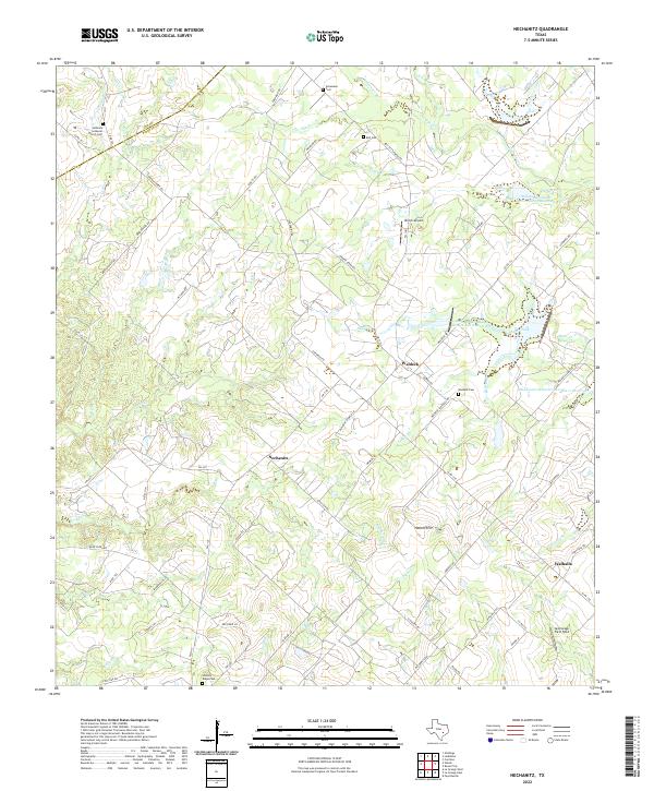
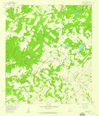 1958 Nechanitz1959 Print · USGSThe rural landscape of Fayette County is captured in the late fifties, showcasing a network of small farming communities and family-named landmarks. Researchers can trace local history through Waldeck Ch, Walhalla, and cemeteries like Schumann Cem.2 unique versions available
 - 1993 Map of Brenham
 1993 Brenham1993 Print · USGSTexas river country and the birthplace of the republic are showcased in the early nineties, centered on the confluence of the Brazos and Navasota. Researchers can trace the rail sidings of the Southern Pacific RR and locate historic community landmarks like St Paul Ch and Washington-on-the-Brazos State Park.
 - 2010 Map of Nechanitz, 2010 Print
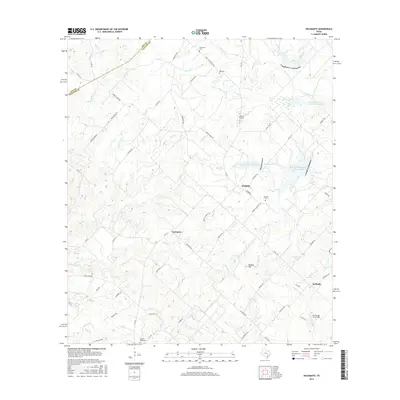
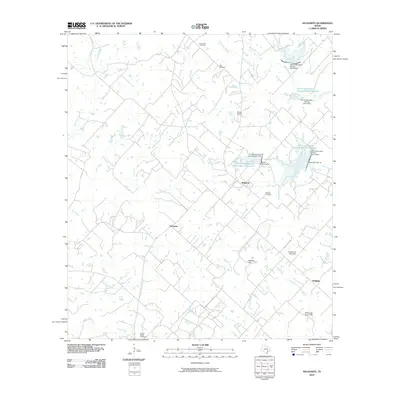 2010 Nechanitz2010 Print · USGSCovers Post Oak, including Waldeck, Nechanitz, and other nearby areas
 - 2013 Map of Nechanitz, 2013 Print
 2013 Nechanitz2013 Print · USGSCovers Post Oak, including Waldeck, Nechanitz, and other nearby areas
 - 2016 Map of Nechanitz, 2016 Print
 2016 Nechanitz2016 Print · USGSCovers Post Oak, including Waldeck, Nechanitz, and other nearby areas
 - 2019 Map of Nechanitz, 2019 Print
 2019 Nechanitz2019 Print · USGSCovers Post Oak, including Waldeck, Nechanitz, and other nearby areas
 - 2022 Map of Nechanitz, 2022 Print
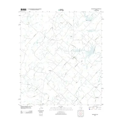
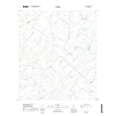
 2022 Nechanitz2022 Print · USGSLife in central Texas revolves around the small communities of Nechanitz and Waldeck in this recent look at Fayette County. Genealogists can trace family names through several rural burial grounds like Hickory Ridge Cem and Bell Cem while following old creek lines.
End of results
Showing maps 1-9 of 9
Top cities near Post Oak
- Giddings historical maps
- La Grange historical maps
- Fayetteville historical maps
- Carmine historical maps
- Ellinger historical maps
- Round Top historical maps
See more
Frequently asked questions
- What are the different types of historical maps available for Post Oak?
- What is the oldest map of Post Oak?
- Where can I purchase historical maps of Post Oak for my home or office?
- Where can I download high-res historical maps of Post Oak?
- Are there historical topographic maps available for Post Oak?
- Is there historical aerial imagery available for Post Oak?
- Where are historical maps of Post Oak sourced from?