Old Maps of Sandhill, Texas for Genealogy
Trace your family roots with 8 historic maps of Sandhill. These high-res maps reveal old neighborhoods, homesites, landmarks, and streets — helping you uncover where your ancestors lived and how the area evolved over time.
- Explore historic neighborhoods: Identify where your relatives may have lived in the 1800s or 1900s.
- Compare maps over time: Trace the changes in streets, buildings, and landmarks for multi-generational research.
- Perfect for genealogy & ancestry research: Used by family historians and researchers to map out lineage and migration.
These maps are an incredible resource for exploring your personal connection to Sandhill's past.
Sandhill, TX maps
(8)- 1954 Map of Lubbock, 1958 Print
 1954 Lubbock1958 Print · USGSThe High Plains and Caprock region of West Texas come alive in the mid-1950s, showing a landscape defined by oil discovery and the Brazos River headwaters. Genealogists and historians can trace rail-connected towns like Roaring Springs, find the Pleasant Valley church, or locate family-named landmarks such as Soldier Mound.4 unique versions available
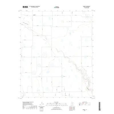
 - 1965 Map of Sandhill, 1968 Print
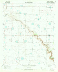 1965 Sandhill1968 Print · USGSFloyd County during the mid-1960s reveals a high plains landscape where agricultural plateaus meet the deep cuts of Blanco Canyon. Researchers can locate the settlement of Sandhill and trace early industrial sites like the local Quarries and Claypits near the White River.
 - 1986 Map of Lubbock
 1986 Lubbock1986 Print · USGSLubbock and the surrounding High Plains are documented in the mid-eighties as a structured grid of agricultural tracts and growing urban centers. Genealogists and local historians can trace family-named areas like Heckville, old rail stops on the Atchison Topeka and Santa Fe, and the winding path of Yellow House Canyon.2 unique versions available
 - 2010 Map of Sandhill, 2010 Print
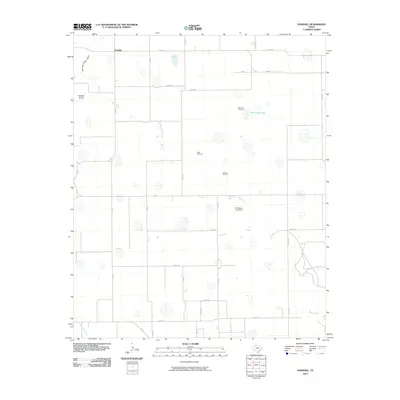 2010 Sandhill2010 Print · USGSCovers Sandhill, including Floyd County, United States, and other nearby areas
 - 2012 Map of Sandhill, 2012 Print
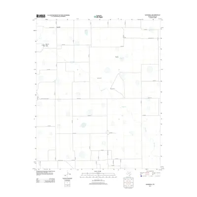 2012 Sandhill2012 Print · USGSCovers Sandhill, including Floyd County, United States, and other nearby areas
 - 2016 Map of Sandhill, 2016 Print
 2016 Sandhill2016 Print · USGSCovers Sandhill, including Floyd County, United States, and other nearby areas
 - 2019 Map of Sandhill, 2019 Print
 2019 Sandhill2019 Print · USGSCovers Sandhill, including Floyd County, United States, and other nearby areas
 - 2022 Map of Sandhill, 2022 Print
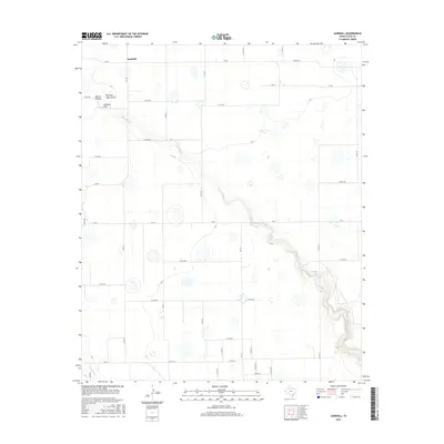
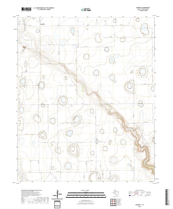 2022 Sandhill2022 Print · USGSThe agricultural plains of Floyd County are revealed in this contemporary survey, centered on the settlement of Sandhill. Researchers can trace the rugged course of the White River as it carves through the grid of Farm to Market roads like FM 378 and FM 784.
End of results
Showing maps 1-8 of 8
Top cities near Sandhill
Frequently asked questions
- What are the different types of historical maps available for Sandhill?
- What is the oldest map of Sandhill?
- Where can I purchase historical maps of Sandhill for my home or office?
- Where can I download high-res historical maps of Sandhill?
- Are there historical topographic maps available for Sandhill?
- Is there historical aerial imagery available for Sandhill?
- Where are historical maps of Sandhill sourced from?