Old Maps of Liberty Crossing, Frisco for Metal Detecting
Plan your next treasure hunt with 18 historic maps of Liberty Crossing. Find old homesites, ghost towns, trails, and gathering spots that may be lost to time — perfect for identifying promising metal detecting locations.
- Locate forgotten sites: Uncover places like long-lost settlements, abandoned rail lines, or gathering spots.
- Plan better hunts: Use map overlays combined with LiDAR or satellite views to narrow in on historically rich areas.
- Made for detectorists: Thousands of hobbyists use these maps to discover relics, coins, and hidden history.
Use these historic maps to boost your research and find new opportunities beneath the surface of Liberty Crossing.
Liberty Crossing, Frisco maps
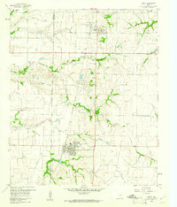
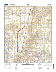
(18)- 1929 Map of Frisco
 1929 Frisco1929 Print · USGSDenton and Collin counties appear in the mid-1920s as a landscape of rural school districts and emerging transit lines before the era of major reservoirs. Researchers can trace family-named landmarks and old transport routes like the Dallas-Denton Electric line and Hackberry Sch.2 unique versions available
 - 1929 Map of McKinney
 1929 McKinney1929 Print · USGSCollin County's rural landscape is captured here in the late twenties, before modern reservoirs reshaped the river valleys. Genealogists can trace early homesteads near local landmarks like Winningkoff Sch, Clear Lake Ch, and the rail junction at Wylie.2 unique versions available
 - 1954 Map of Sherman, 1964 Print
 1954 Sherman1964 Print · USGSThe Red River valley and North Texas plains are captured here in the mid-fifties, showing the region as new reservoirs like Lake Texoma and Lavon Reservoir reshaped the land. Genealogists can trace family roots through specific local landmarks like Courtney P O, Pilot Grove Sch, and New Hope Ch.2 unique versions available
 - 1958 Map of Sherman, 1959 Print
 1958 Sherman1959 Print · USGSNorth Texas and Southern Oklahoma were undergoing significant development in the late fifties as the Red River Valley transit networks matured. Researchers can trace historic family-named locations such as Saddler Bend, the grounds of Perrin AFB, and early shoreline developments at Lake Texoma.
 - 1960 Map of Frisco, 1961 Print
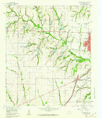
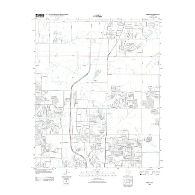
 1960 Frisco1961 Print · USGSThe rural landscape of Collin County appears here just as the post-war era began to shape North Texas. Researchers can trace the early rail-side footprints of Frisco and Prosper, or locate family landmarks like Bethel Cem and the Rockhill Sch.5 unique versions available
 - 1960 Map of McKinney West, 1962 Print
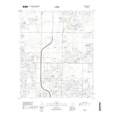
 1960 McKinney West1962 Print · USGSCollin County was on the cusp of significant growth in the early sixties as McKinney expanded westward across the creeks. Genealogists and local historians can trace family sites like McGarrah Cem, the Buckner (Site), and the Stimson Cem.4 unique versions available
 - 1969 Map of Frisco
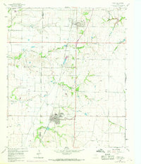 1969 Frisco1969 Print · USGSThe North Texas prairie comes into focus during the late sixties as the rail-driven towns of Frisco and Prosper begin to grow. Genealogists can locate family burial sites like Bethel Cem and Landrum Cem nestled among traditional farm fields.
 - 1985 Map of McKinney
 1985 McKinney1985 Print · USGSNorth Texas in the mid-1980s was a landscape of rural communities connected by a complex web of railroads and creek systems. Researchers can trace family roots through settlements like Westminster, find local landmarks like Henslee Chapel, or map the industrial activity at various Gravel Pits.2 unique versions available
 - 2010 Map of Frisco, 2010 Print
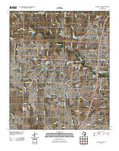
 2010 Frisco2010 Print · USGSCovers Liberty Crossing, including Frisco, McKinney, and other nearby areas
 - 2010 Map of McKinney West, 2010 Print
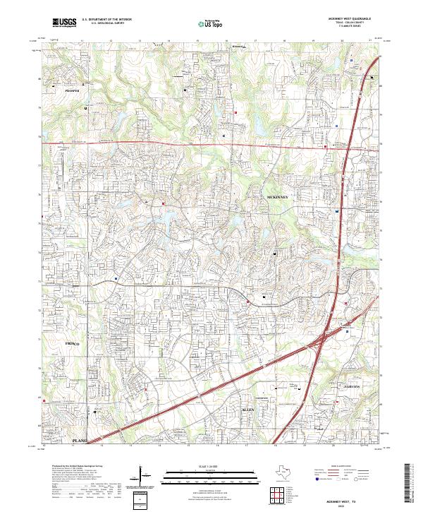
 2010 McKinney West2010 Print · USGSCovers Liberty Crossing, including Plano, Frisco, and other nearby areas
 - 2013 Map of McKinney West, 2013 Print
 2013 McKinney West2013 Print · USGSCovers Liberty Crossing, including Plano, Frisco, and other nearby areas
 - 2013 Map of Frisco, 2013 Print
 2013 Frisco2013 Print · USGSCovers Liberty Crossing, including Frisco, McKinney, and other nearby areas
 - 2016 Map of Frisco, 2016 Print
 2016 Frisco2016 Print · USGSCovers Liberty Crossing, including Frisco, McKinney, and other nearby areas
 - 2016 Map of McKinney West, 2016 Print
 2016 McKinney West2016 Print · USGSCovers Liberty Crossing, including Plano, Frisco, and other nearby areas
 - 2019 Map of McKinney West, 2019 Print
 2019 McKinney West2019 Print · USGSCovers Liberty Crossing, including Plano, Frisco, and other nearby areas
 - 2019 Map of Frisco, 2019 Print
 2019 Frisco2019 Print · USGSCovers Liberty Crossing, including Frisco, McKinney, and other nearby areas
 - 2022 Map of McKinney West, 2022 Print
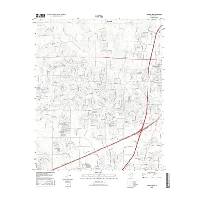
 2022 McKinney West2022 Print · USGSNorthern Texas enters a period of intense suburban development as McKinney and Frisco expand toward one another. Genealogists can trace local roots at McLarry Cemetery and Williams Cemetery while following the path of Wilson Creek.
 - 2022 Map of Frisco, 2022 Print
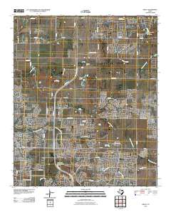
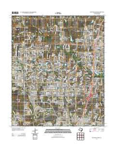
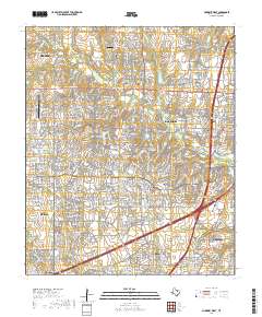
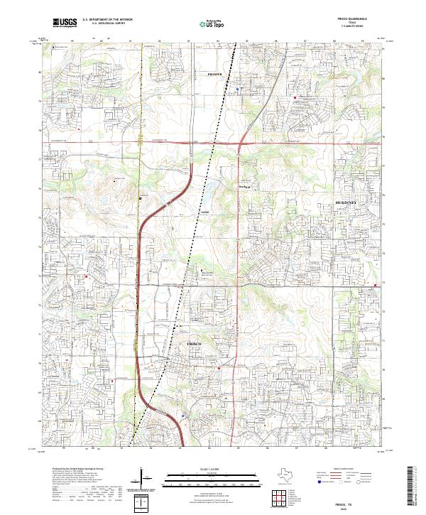 2022 Frisco2022 Print · USGSFrisco and Prosper are shown here during a period of intense suburban transformation in the early twenty-first century. Genealogists and local historians can locate early family sites like Landrum Cem and Smith Cem amidst the modern street grids of Frisco.
End of results
Showing maps 1-18 of 18
Frequently asked questions
- What are the different types of historical maps available for Liberty Crossing?
- What is the oldest map of Liberty Crossing?
- Where can I purchase historical maps of Liberty Crossing for my home or office?
- Where can I download high-res historical maps of Liberty Crossing?
- Are there historical topographic maps available for Liberty Crossing?
- Is there historical aerial imagery available for Liberty Crossing?
- Where are historical maps of Liberty Crossing sourced from?