Old Maps of Armstrong Addition, Seagraves
Explore 10 old maps of Armstrong Addition, spanning from 1954 to today. These high-resolution historic maps reveal how streets, neighborhoods, landmarks, and natural features evolved over time — perfect for genealogy, metal detecting, research, and local history exploration.
What you can do with these maps:
- See how Armstrong Addition changed over time: Compare historical maps to modern-day views to trace roads, homesites, rail lines & more.
- View detailed metadata: Each map includes creators, publishers, year, scale, and archive source.
- Overlay maps with satellite & LiDAR: Visualize the past alongside modern tools to explore terrain & human change.
- Trusted historical sources: Maps sourced from the USGS, Library of Congress, and other archives.
- Access maps your way: View online, download high-res files, or order prints for personal or research use.
Start exploring old maps of Armstrong Addition to uncover forgotten places, hidden landmarks, and the deep history beneath your feet.
Armstrong Addition, Seagraves maps
(10)- 1954 Map of Hobbs, 1963 Print
 1954 Hobbs1963 Print · USGSThe High Plains and Permian Basin transition is captured here at the height of the mid-century energy boom. Genealogists and industrial historians can trace the foundations of Humble City, locate the Potash Mine and Plant, and follow the Texas-New Mexico RR.2 unique versions available
 - 1958 Map of Hobbs
 1958 Hobbs1958 Print · USGSThe High Plains of the Texas-New Mexico border are shown here during the height of the mid-century oil boom. Genealogists and historians can trace the development of Hobbs, Lovington, and Jal, alongside ranching landmarks like James Ranch and the early Texas-New Mexico Railway.
 - 1970 Map of Seagraves, 1973 Print
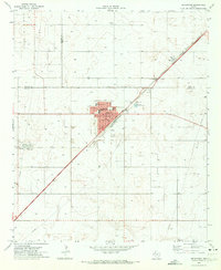 1970 Seagraves1973 Print · USGSSeagraves is captured in the early 1970s at the meeting of Yoakum, Terry, and Gaines counties during a period of steady industrial and oil production. Researchers can locate specific family sites near Webb Cem, trace the ATCHISON TOPEKA AND SANTA FE rail lines, or find the Rodeo Ground.
 - 1985 Map of Seminole, 1986 Print
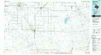 1985 Seminole1986 Print · USGSGaines County and its neighbors are captured in the mid-eighties during a period of sustained energy production and agricultural persistence. Researchers can trace the sprawling oil fields and rail stops along the Atchison Topeka and Santa Fe near Denver City and Mungerville.
 - 1992 Map of Seminole
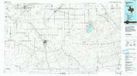 1992 Seminole1992 Print · USGSThe Texas high plains in the early nineties show a landscape of heavy oil production and rural crossroads. Trace old family connections near Seminole, Denver City, or Seagraves, and explore the natural geography of Cedar (Salt) Lake.
 - 2010 Map of Seagraves, 2010 Print
 2010 Seagraves2010 Print · USGSCovers Armstrong Addition, including Seagraves, Gaines County, and other nearby areas
 - 2012 Map of Seagraves, 2012 Print
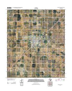 2012 Seagraves2012 Print · USGSCovers Armstrong Addition, including Seagraves, Gaines County, and other nearby areas
 - 2016 Map of Seagraves, 2016 Print
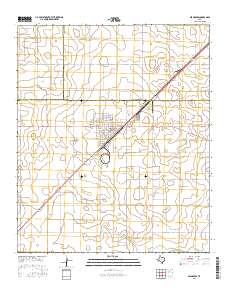 2016 Seagraves2016 Print · USGSCovers Armstrong Addition, including Seagraves, Gaines County, and other nearby areas
 - 2019 Map of Seagraves, 2019 Print
 2019 Seagraves2019 Print · USGSCovers Armstrong Addition, including Seagraves, Gaines County, and other nearby areas
 - 2022 Map of Seagraves, 2022 Print
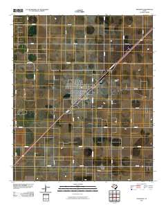
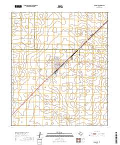
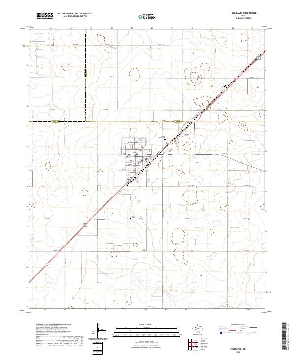 2022 Seagraves2022 Print · USGSNear the intersection of Gaines, Terry, and Yoakum counties, this West Texas landscape showcases the town of Seagraves during its modern era. Genealogists and historians can locate the Gaines County Cem, Joe H Webb Cem, and the specialized street grid near Railroad Ave.
End of results
Showing maps 1-10 of 10
Frequently asked questions
- What are the different types of historical maps available for Armstrong Addition?
- What is the oldest map of Armstrong Addition?
- Where can I purchase historical maps of Armstrong Addition for my home or office?
- Where can I download high-res historical maps of Armstrong Addition?
- Are there historical topographic maps available for Armstrong Addition?
- Is there historical aerial imagery available for Armstrong Addition?
- Where are historical maps of Armstrong Addition sourced from?