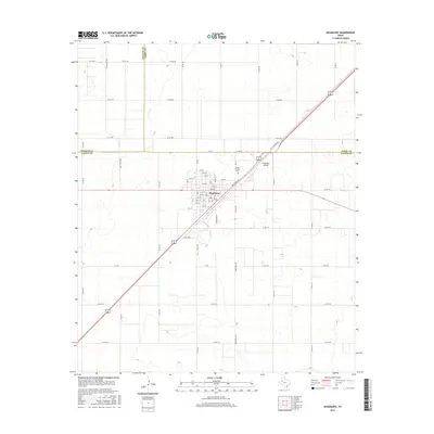
2016 Map of Seagraves
USGS Topo · Published 2016About this map
Seagraves serves as the focal point of this Gaines County survey, appearing as a structured grid in the Texas South Plains. The town's layout is defined by numerically named streets from 5th St to 19th St, intersected by a series of lettered avenues such as Ave G and Ave L. The economic foundations of the area are visible through the orientation of Railroad Ave and the presence of the Seagraves Airport, supporting the region's agricultural and logistical needs.
Find a feature on this map
66 named features on this map. Tap any name to fly to it.
Don’t see what you’re looking for? This feature index may not catch every label — zoom into the map to look around manually.
Map Details
Editions of this 2016 Seagraves Map
This is the sole edition of this map. No revisions or reprints were ever made.
Other maps of this area

1954 · Hobbs
USGS Topo · 1:250,000

1954 · Brownfield
USGS Topo · 1:250,000

1958 · Brownfield
USGS Topo · 1:250,000

1958 · Hobbs
USGS Topo · 1:250,000

1962 · Brownfield
USGS Topo · 1:250,000

1969 · Loop
USGS Topo · 1:24,000

1969 · Wellman
USGS Topo · 1:24,000

1970 · Seagraves SW
USGS Topo · 1:24,000

1970 · Seagraves SE
USGS Topo · 1:24,000

1970 · Seagraves
USGS Topo · 1:24,000