Old Maps of Old Houston Place, Texas for Metal Detecting
Plan your next treasure hunt with 11 historic maps of Old Houston Place. Find old homesites, ghost towns, trails, and gathering spots that may be lost to time — perfect for identifying promising metal detecting locations.
- Locate forgotten sites: Uncover places like long-lost settlements, abandoned rail lines, or gathering spots.
- Plan better hunts: Use map overlays combined with LiDAR or satellite views to narrow in on historically rich areas.
- Made for detectorists: Thousands of hobbyists use these maps to discover relics, coins, and hidden history.
Use these historic maps to boost your research and find new opportunities beneath the surface of Old Houston Place.
Old Houston Place, TX maps
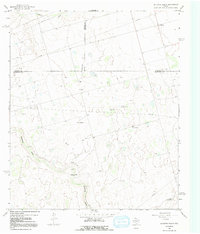
(11)- 1941 Map of Morita
 1941 Morita1941 Print · USGSRanching life and rail transport define this Howard County landscape just before the war. Trace early schools and family holdings like Sandwell Sch, Morita, and Quinn Ranch along the route of the Texas and Pacific railroad.
 - 1949 Map of Morita
 1949 Morita1949 Print · USGSHoward and Martin Counties in the late 1930s show a landscape of sprawling family ranches and essential rail stops. Genealogists can locate named homesteads like McDowell Ranch and Cross Ranch, or trace the rural students of Sandwell Sch.
 - 1954 Map of Big Spring, 1965 Print
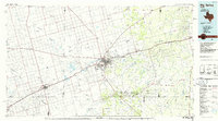
 1954 Big Spring1965 Print · USGSWest Texas in the mid-1950s shows a landscape of growing oil towns and vital rail links along the Texas and Pacific RR. Researchers can trace the development of Big Spring, find smaller settlements like Knott and Lomax, or locate landmarks such as Boyds Chapel and Signal Mountain.4 unique versions available
 - 1958 Map of Big Spring
 1958 Big Spring1958 Print · USGSThe West Texas oil boom was in full swing during the late fifties, transforming the landscape around Howard and Mitchell counties. Genealogists and historians can trace the growth of Big Spring and Snyder alongside industrial landmarks like the Kelly-Snyder Oil Field and the Santa Fe rail lines.
 - 1966 Map of Houston Ranch, 1968 Print
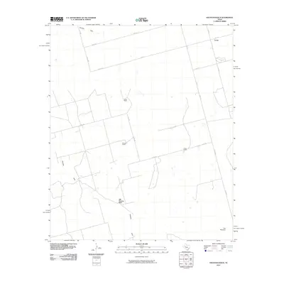
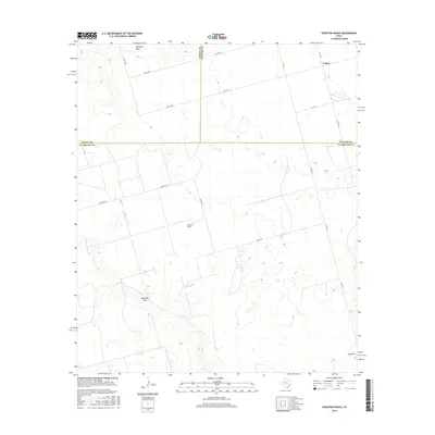
 1966 Houston Ranch1968 Print · USGSThe West Texas plains at the meeting of Glasscock, Howard, and Martin counties are captured here in the mid-sixties. Researchers can trace ranching and oil history through the Old Houston Place, the Lomax settlement, and the landmark Hog Mountain.2 unique versions available
 - 1986 Map of Big Spring
 1986 Big Spring1986 Print · USGSWest Texas in the mid-eighties was a landscape defined by the deep roots of the petroleum industry and the path of the railroad. You can trace the expansive Snyder Oil Field, follow the Missouri Pacific line, or locate rural centers like Coahoma and Knott.2 unique versions available
 - 2010 Map of Houston Ranch, 2010 Print
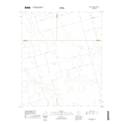
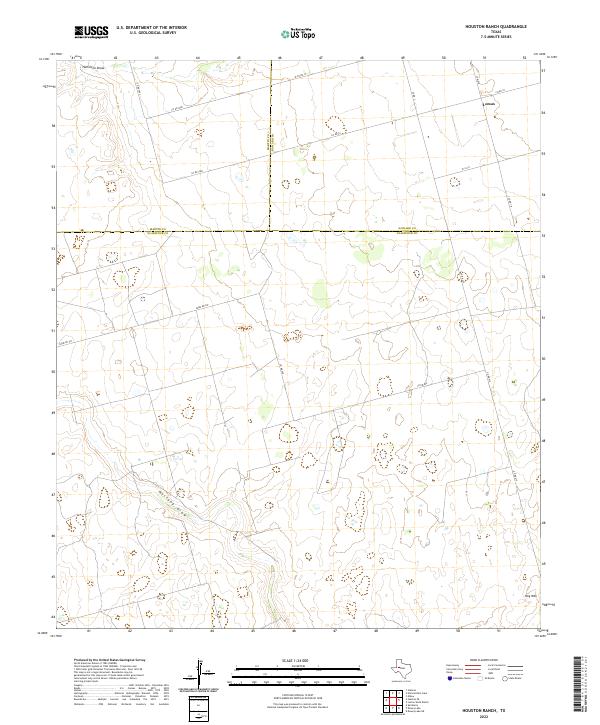
 2010 Houston Ranch2010 Print · USGSCovers Old Houston Place, including Lomax, Howard County, and other nearby areas
 - 2012 Map of Houston Ranch, 2012 Print
 2012 Houston Ranch2012 Print · USGSCovers Old Houston Place, including Lomax, Howard County, and other nearby areas
 - 2016 Map of Houston Ranch, 2016 Print
 2016 Houston Ranch2016 Print · USGSCovers Old Houston Place, including Lomax, Howard County, and other nearby areas
 - 2019 Map of Houston Ranch, 2019 Print
 2019 Houston Ranch2019 Print · USGSCovers Old Houston Place, including Lomax, Howard County, and other nearby areas
 - 2022 Map of Houston Ranch, 2022 Print
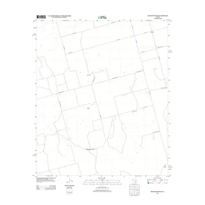
 2022 Houston Ranch2022 Print · USGSWest Texas ranch lands are documented here in the early 2020s where three counties converge. Genealogists and researchers can trace the rural network around Lomax and locate landmarks like Hog Mtn and the seasonal path of Mustang Draw.
End of results
Showing maps 1-11 of 11
Top cities near Old Houston Place
Frequently asked questions
- What are the different types of historical maps available for Old Houston Place?
- What is the oldest map of Old Houston Place?
- Where can I purchase historical maps of Old Houston Place for my home or office?
- Where can I download high-res historical maps of Old Houston Place?
- Are there historical topographic maps available for Old Houston Place?
- Is there historical aerial imagery available for Old Houston Place?
- Where are historical maps of Old Houston Place sourced from?