Old Maps of Gonzales, Texas
Explore 17 old maps of Gonzales, spanning from 1901 to today. These high-resolution historic maps reveal how streets, neighborhoods, landmarks, and natural features evolved over time — perfect for genealogy, metal detecting, research, and local history exploration.
What you can do with these maps:
- See how Gonzales changed over time: Compare historical maps to modern-day views to trace roads, homesites, rail lines & more.
- View detailed metadata: Each map includes creators, publishers, year, scale, and archive source.
- Overlay maps with satellite & LiDAR: Visualize the past alongside modern tools to explore terrain & human change.
- Trusted historical sources: Maps sourced from the USGS, Library of Congress, and other archives.
- Access maps your way: View online, download high-res files, or order prints for personal or research use.
Start exploring old maps of Gonzales to uncover forgotten places, hidden landmarks, and the deep history beneath your feet.
Gonzales, TX maps
(17)- 1901 Map of Flatonia
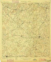 1901 Flatonia1901 Print · USGSCentral Texas at the turn of the century shows a landscape defined by the railroad and distinct ethnic communities. Trace family roots in the Bohemian Settlement or Negro Settlement, and locate early sites like Old Redrock and Old Flatonia.2 unique versions available
 - 1953 Map of Seguin, 1965 Print
 1953 Seguin1965 Print · USGSSouth Texas in the early fifties shows a thriving river-and-rail economy across the Guadalupe and Colorado basins. Genealogists and historians can trace rail routes like the Southern Pacific through Seguin, locate oil wells, or find the Gary AAF near San Marcos.4 unique versions available
 - 1958 Map of Seguin
 1958 Seguin1958 Print · USGSSouth Texas in the late fifties was a network of river-valley settlements and active oilfields tied together by major rail lines. Genealogists and historians can trace family-named sites across Rabb Prairie, locate the Behring Store, or follow the Southern Pacific through Schulenburg.
 - 1959 Map of Gonzales South, 1960 Print
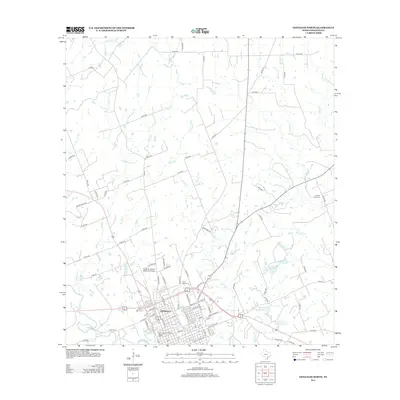
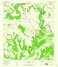 1959 Gonzales South1960 Print · USGSThe river-bend country south of Gonzales comes into focus in the late 1950s, showing the winding paths of the Guadalupe River and San Marcos River. Researchers can trace old family burial grounds like De Witt Cem and Watson Cem alongside the early development of Santa Anna.3 unique versions available
 - 1962 Map of Gonzales North, 1965 Print
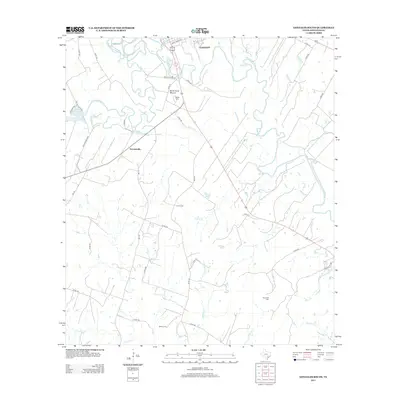
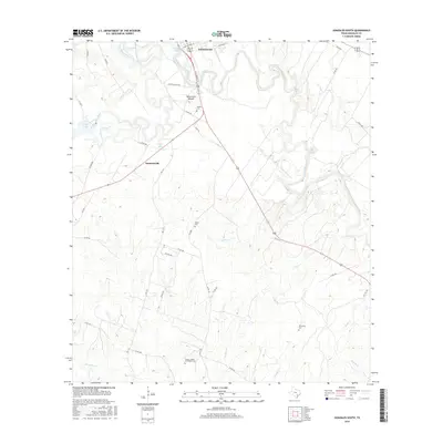
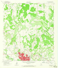 1962 Gonzales North1965 Print · USGSMid-century Gonzales and its northern hinterlands are captured here at the junction of the Guadalupe River and San Marcos River. Researchers can trace old family sites at Denton Creek Cem or follow the path of the Southern Pacific railroad.3 unique versions available
 - 1985 Map of Cuero
 1985 Cuero1985 Print · USGSSouth Texas in the mid-eighties reveals a landscape of river-bottom farms and active petroleum production. Researchers can trace family-named landmarks and rural settlements like Monthalia, Kosciuszko, and the Thomaston Oil Field along the Southern Pacific rail lines.2 unique versions available
 - 1985 Map of Seguin, 1986 Print
 1985 Seguin1986 Print · USGSCentral Texas in the mid-1980s is defined by its vital oil industry and the crossroads of major interstate and rail networks. Genealogists and historians can trace the development of Luling Oil Field, identify the site of Old Flatonia, or locate family landmarks near St James and Palmetto State Park.2 unique versions available
 - 2010 Map of Gonzales South, 2010 Print
 2010 Gonzales South2010 Print · USGSCovers Gonzales, including Summerville, Gonzales County, and other nearby areas
 - 2010 Map of Gonzales North, 2010 Print
 2010 Gonzales North2010 Print · USGSCovers Gonzales, including Gonzales County, United States, and other nearby areas
 - 2013 Map of Gonzales South, 2013 Print
 2013 Gonzales South2013 Print · USGSCovers Gonzales, including Summerville, Gonzales County, and other nearby areas
 - 2013 Map of Gonzales North, 2013 Print
 2013 Gonzales North2013 Print · USGSCovers Gonzales, including Gonzales County, United States, and other nearby areas
 - 2016 Map of Gonzales North, 2016 Print
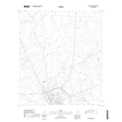
 2016 Gonzales North2016 Print · USGSCovers Gonzales, including Gonzales County, United States, and other nearby areas
 - 2016 Map of Gonzales South, 2016 Print
 2016 Gonzales South2016 Print · USGSCovers Gonzales, including Summerville, Gonzales County, and other nearby areas
 - 2019 Map of Gonzales North, 2019 Print
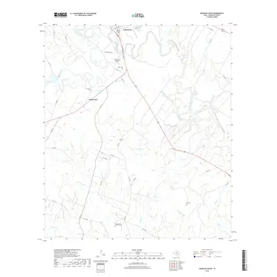
 2019 Gonzales North2019 Print · USGSCovers Gonzales, including Gonzales County, United States, and other nearby areas
 - 2019 Map of Gonzales South, 2019 Print
 2019 Gonzales South2019 Print · USGSCovers Gonzales, including Summerville, Gonzales County, and other nearby areas
 - 2022 Map of Gonzales North, 2022 Print
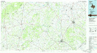
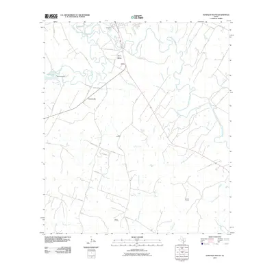
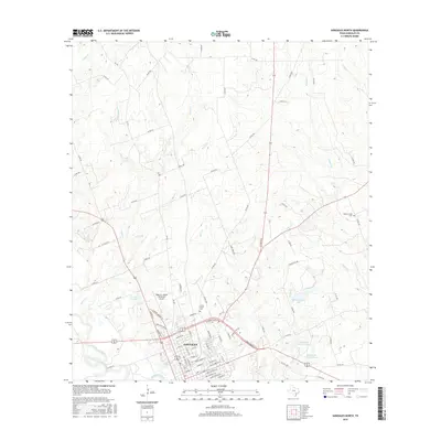
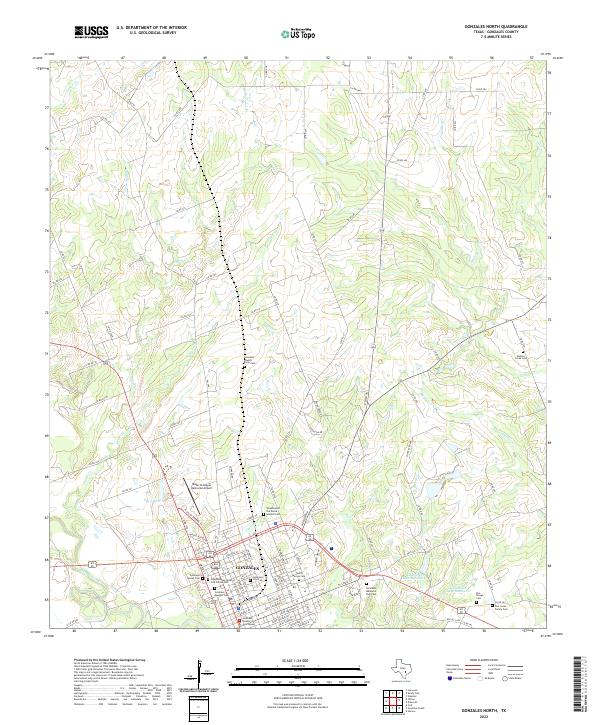 2022 Gonzales North2022 Print · USGSThe historic river town of Gonzales is captured here in the early twenty-first century, showcasing its development along the San Marcos River. Genealogists can trace numerous local burial sites including Gonzales City Cem and the Denton Creek Cem.
 - 2022 Map of Gonzales South, 2022 Print
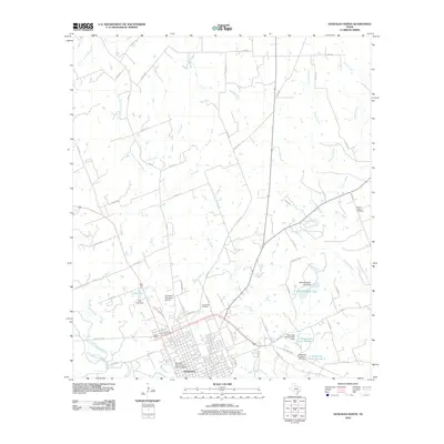
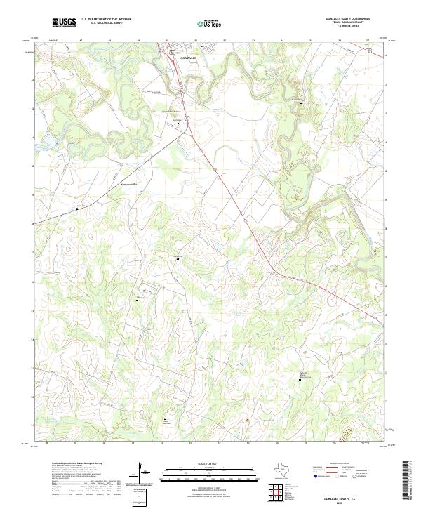 2022 Gonzales South2022 Print · USGSSouth of Gonzales in the early twenty-first century, the Guadalupe river bottomlands reveal a landscape shaped by water and memory. Researchers can locate several historic burial sites like Terryville African American Cem and Lone Oak Cem near the Santa Anna Mound.
End of results
Showing maps 1-17 of 17
Top cities near Gonzales
Frequently asked questions
- What are the different types of historical maps available for Gonzales?
- What is the oldest map of Gonzales?
- Where can I purchase historical maps of Gonzales for my home or office?
- Where can I download high-res historical maps of Gonzales?
- Are there historical topographic maps available for Gonzales?
- Is there historical aerial imagery available for Gonzales?
- Where are historical maps of Gonzales sourced from?