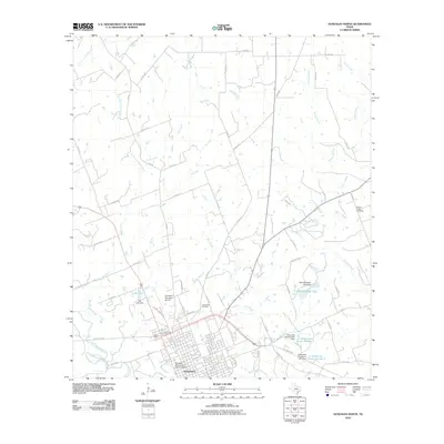
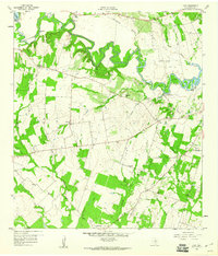
2010 Map of Gonzales North
USGS Topo · Published 2010About this map
The Gonzales Commercial Historic District anchors the southern portion of this landscape, marking the historic core of Gonzales just north of the San Marcos River. This 2010 survey reflects a rural Texas terrain increasingly defined by agricultural water management, evidenced by numerous named reservoirs including Iley Lake, Winkenwerder Lake, and the Halamicek Lake Number 1 complex. Beyond the residential grid of Gonzales, the land is dissected by an intricate network of waterways such as North Fork Smith Creek and Mitchell Creek. Genealogists and local historians can locate several family-named landmarks and resting places, most notably the Camp Brazil Cemetery and the Denton Creek Cemetery, which offer clues to the early settlement patterns of Gonzales County.
Find a feature on this map
61 named features on this map. Tap any name to fly to it.
Don’t see what you’re looking for? This feature index may not catch every label — zoom into the map to look around manually.
Map Details
Editions of this 2010 Gonzales North Map
This is the sole edition of this map. No revisions or reprints were ever made.
Other maps of this area
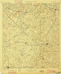
1901 · Flatonia
USGS Topo · 1:125,000
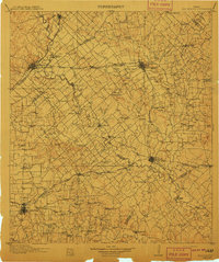
1911 · San Marcos
USGS Topo · 1:125,000
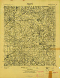
1919 · San Marcos
USGS Topo · 1:125,000
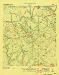
1920 · Smiley
USGS Topo · 1:125,000
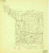
1925 · San Marcos 4-a
USGS Topo · 1:48,000
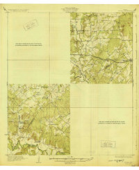
1929 · Luling
USGS Topo · 1:62,500

1953 · Seguin
USGS Topo · 1:250,000

1958 · Seguin
USGS Topo · 1:250,000
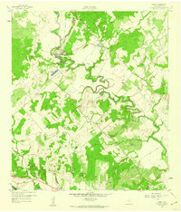
1959 · Ottine
USGS Topo · 1:24,000
1959 · Cost
USGS Topo · 1:24,000