1925 Map of San Marcos 4-a
USGS Topo · Published 1925About this map
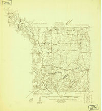
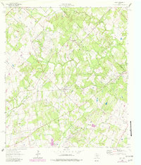
The San Marcos River corridor and its drainage network define this 1925 landscape as the region transitioned into early 20th-century agriculture and rail commerce. The Southern Pacific and San Antonio and Aransas Pass railroads intersect the terrain, providing essential transport for rural communities like Harwood and McNeil. The concentration of community structures, including Eba School and the Soda Springs Church, suggests a period of active rural settlement before the centralization of public services. Grounded in a 1925 survey by the State of Texas Board of Water Engineers, the map meticulously charts the winding courses of Plum Creek and West Fork Plum Creek as they move toward the larger river basin. This sheet is particularly valuable for tracing early school districts and church locations, such as Union Center School and Mt Zion Church, which served as the social anchors for this Texas landscape.
Find a feature on this map
20 named features on this map. Tap any name to fly to it.
Don’t see what you’re looking for? This feature index may not catch every label — zoom into the map to look around manually.
Map Details
Editions of this 1925 San Marcos 4-a Map
This is the sole edition of this map. No revisions or reprints were ever made.
Historical Maps of Luling Through Time
32 maps found
1925 San Marcos 1-d
Caldwell County, TX
1925 San Marcos 4-a
Caldwell County, TX
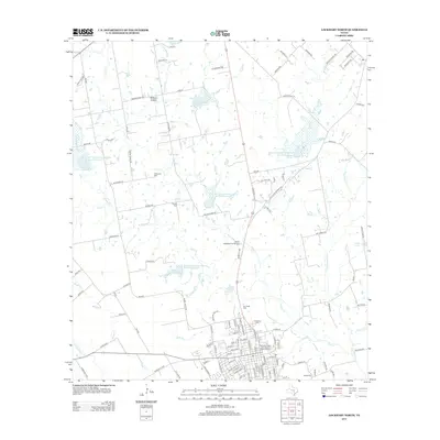
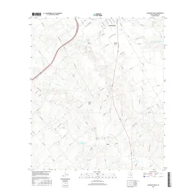
1963 Lockhart North
Caldwell County, TX
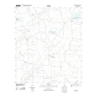
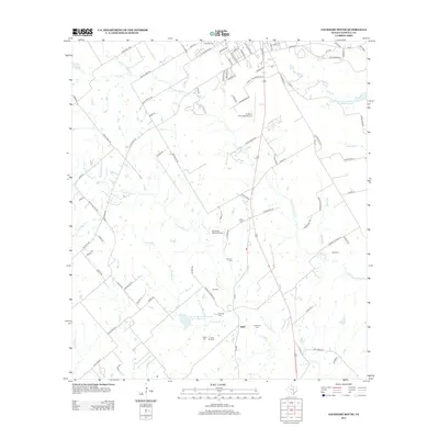
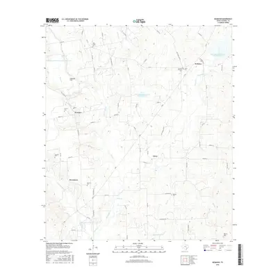
1963 McMahan
Caldwell County, TX
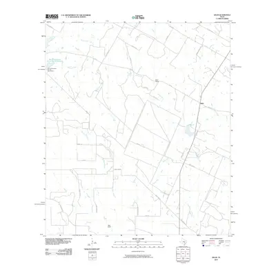
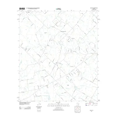
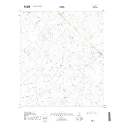
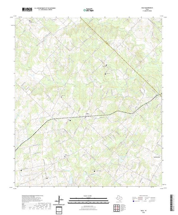
1964 Dale
Caldwell County, TX
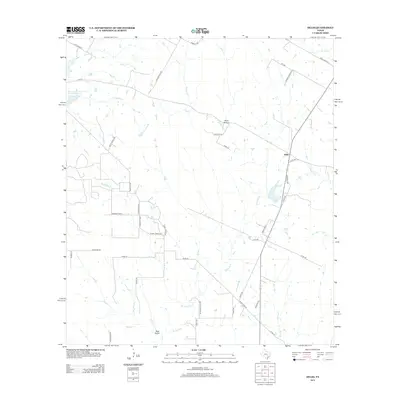
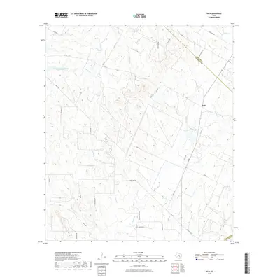
1964 Delhi
Caldwell County, TX
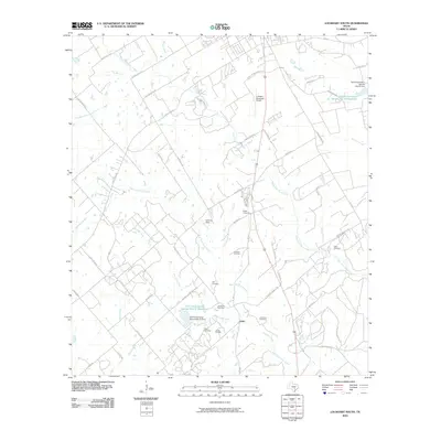
1964 Lockhart South
Caldwell County, TX
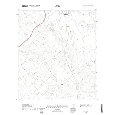
2010 Dale
Caldwell County, TX
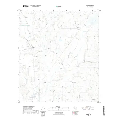
2010 Delhi
Caldwell County, TX
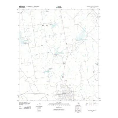
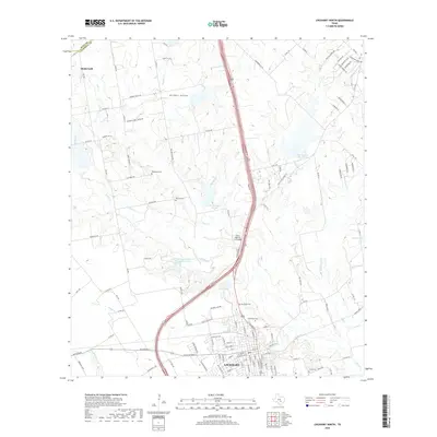
2010 Lockhart North
Caldwell County, TX
2010 Lockhart South
Caldwell County, TX
2010 McMahan
Caldwell County, TX
2013 Dale
Caldwell County, TX
2013 Delhi
Caldwell County, TX
2013 Lockhart North
Caldwell County, TX
2013 Lockhart South
Caldwell County, TX
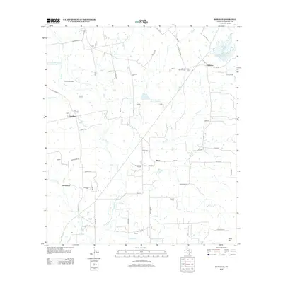
2013 McMahan
Caldwell County, TX
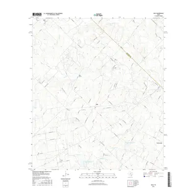
2016 Dale
Caldwell County, TX
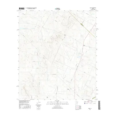
2016 Delhi
Caldwell County, TX
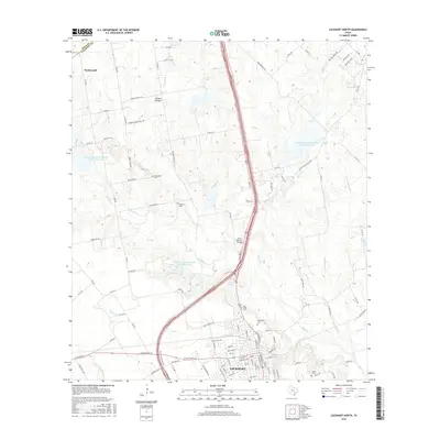
2016 Lockhart North
Caldwell County, TX
2016 Lockhart South
Caldwell County, TX
2016 McMahan
Caldwell County, TX
2019 Dale
Caldwell County, TX
2019 Delhi
Caldwell County, TX
2019 Lockhart North
Caldwell County, TX
2019 Lockhart South
Caldwell County, TX
2019 McMahan
Caldwell County, TX
2022 Dale
Caldwell County, TX
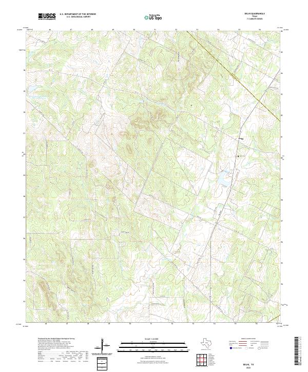
2022 Delhi
Caldwell County, TX
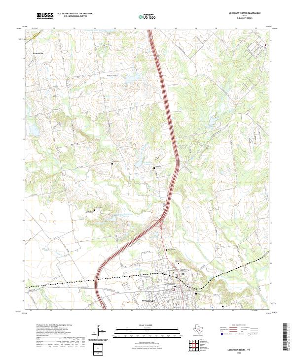
2022 Lockhart North
Caldwell County, TX
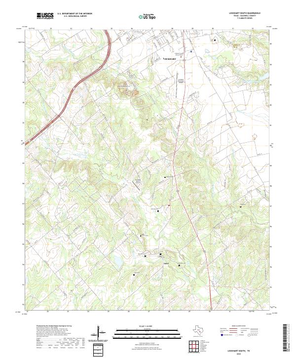
2022 Lockhart South
Caldwell County, TX
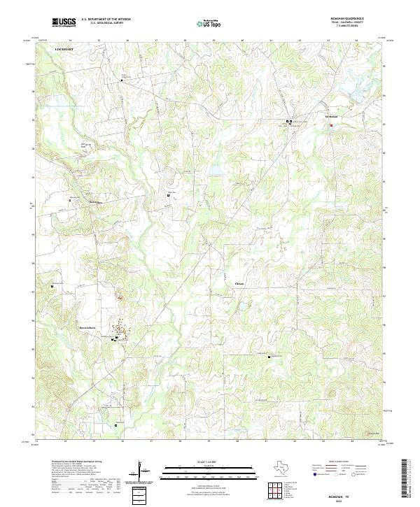
2022 McMahan
Caldwell County, TX