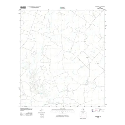
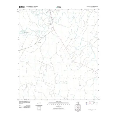
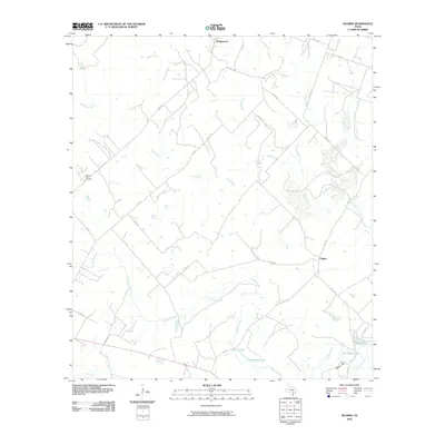
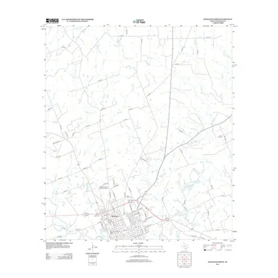
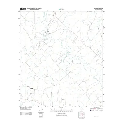
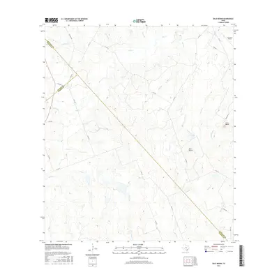
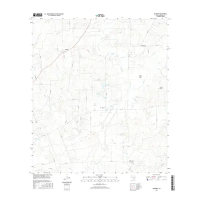
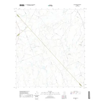
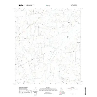
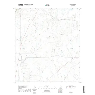
1925 Map of San Marcos 4-c
USGS Topo · Published 1925About this map
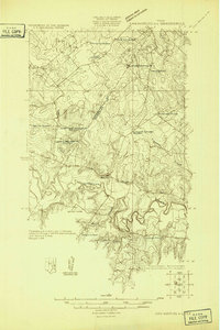
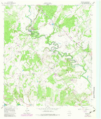
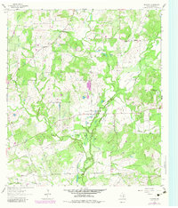
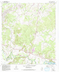
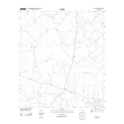
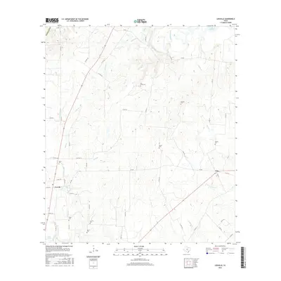
The Guadalupe River snakes across this 1925 landscape, marking the boundary between Guadalupe and Gonzales Counties. The area is characterized by a dense network of local community hubs, specifically a high concentration of schools and churches that served the rural population. At the center of the sheet, the settlement of Belmont sits at the junction of the Old Spanish Trail, reflecting a traditional Texas road network that followed the natural contours of the land rather than a rigid grid.
Find a feature on this map
20 named features on this map. Tap any name to fly to it.
Don’t see what you’re looking for? This feature index may not catch every label — zoom into the map to look around manually.
Map Details
Editions of this 1925 San Marcos 4-c Map
This is the sole edition of this map. No revisions or reprints were ever made.
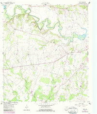
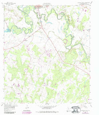
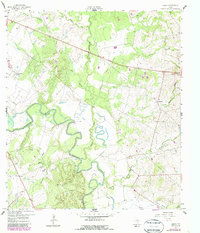
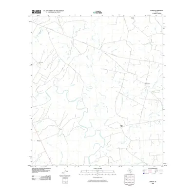
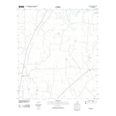
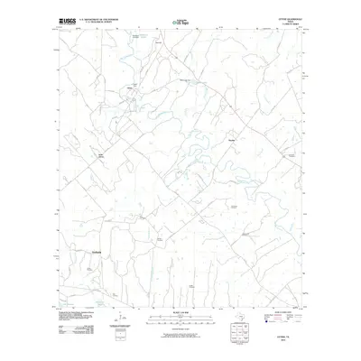
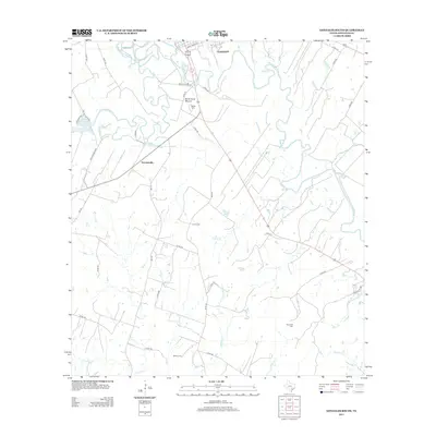
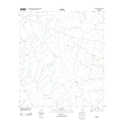
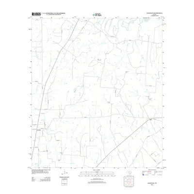
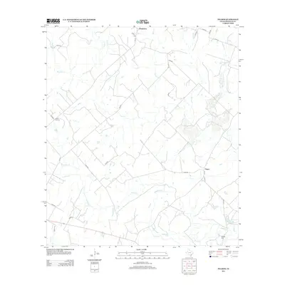
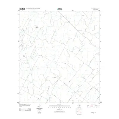
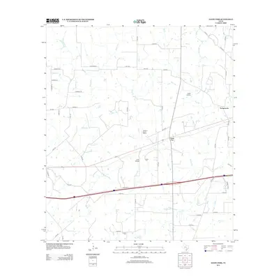
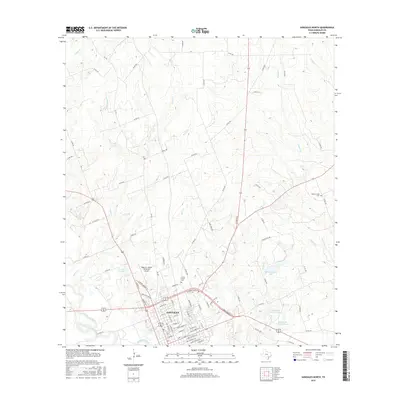
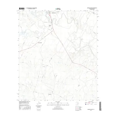
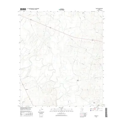
Historical Maps of Belmont Through Time
79 maps found
1925 San Marcos 4-c
Gonzales County, TX
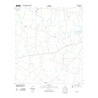
1959 Cost
Gonzales County, TX
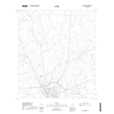
1959 Gonzales South
Gonzales County, TX
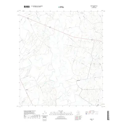
1959 Hamon
Gonzales County, TX
1959 Ottine
Gonzales County, TX
1960 Cheapside
Gonzales County, TX
1961 Pilgrim
Gonzales County, TX
1961 Sample
Gonzales County, TX
1962 Dilworth
Gonzales County, TX
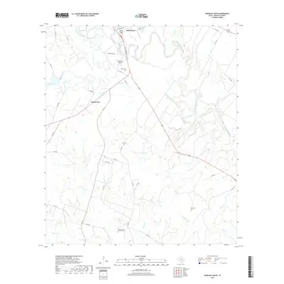
1962 Gonzales North
Gonzales County, TX
1962 Leesville
Gonzales County, TX
1963 Bald Mound
Gonzales County, TX
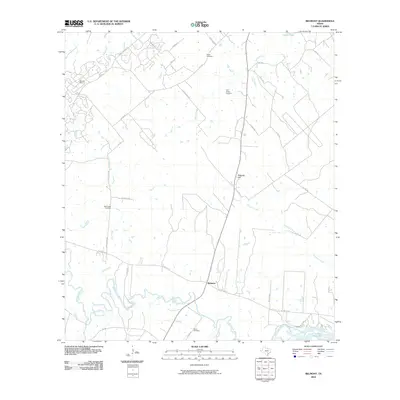
1964 Belmont
Gonzales County, TX
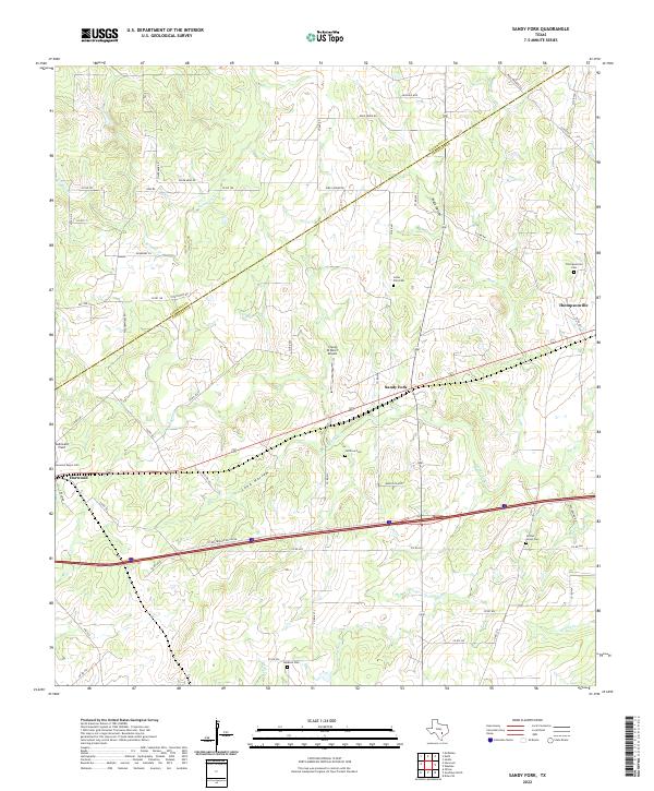
1964 Sandy Fork
Gonzales County, TX
2010 Bald Mound
Gonzales County, TX
2010 Belmont
Gonzales County, TX
2010 Cheapside
Gonzales County, TX
2010 Cost
Gonzales County, TX
2010 Dilworth
Gonzales County, TX
2010 Gonzales North
Gonzales County, TX
2010 Gonzales South
Gonzales County, TX
2010 Hamon
Gonzales County, TX
2010 Leesville
Gonzales County, TX
2010 Ottine
Gonzales County, TX
2010 Pilgrim
Gonzales County, TX
2010 Sample
Gonzales County, TX
2010 Sandy Fork
Gonzales County, TX
2013 Bald Mound
Gonzales County, TX
2013 Belmont
Gonzales County, TX
2013 Cheapside
Gonzales County, TX
2013 Cost
Gonzales County, TX
2013 Dilworth
Gonzales County, TX
2013 Gonzales North
Gonzales County, TX
2013 Gonzales South
Gonzales County, TX
2013 Hamon
Gonzales County, TX
2013 Leesville
Gonzales County, TX
2013 Ottine
Gonzales County, TX
2013 Pilgrim
Gonzales County, TX
2013 Sample
Gonzales County, TX
2013 Sandy Fork
Gonzales County, TX
2016 Bald Mound
Gonzales County, TX
2016 Belmont
Gonzales County, TX
2016 Cheapside
Gonzales County, TX
2016 Cost
Gonzales County, TX
2016 Dilworth
Gonzales County, TX
2016 Gonzales North
Gonzales County, TX
2016 Gonzales South
Gonzales County, TX
2016 Hamon
Gonzales County, TX
2016 Leesville
Gonzales County, TX

2016 Ottine
Gonzales County, TX
2016 Pilgrim
Gonzales County, TX
2016 Sample
Gonzales County, TX
2016 Sandy Fork
Gonzales County, TX
2019 Bald Mound
Gonzales County, TX
2019 Belmont
Gonzales County, TX
2019 Cheapside
Gonzales County, TX
2019 Cost
Gonzales County, TX
2019 Dilworth
Gonzales County, TX
2019 Gonzales North
Gonzales County, TX
2019 Gonzales South
Gonzales County, TX
2019 Hamon
Gonzales County, TX
2019 Leesville
Gonzales County, TX
2019 Ottine
Gonzales County, TX
2019 Pilgrim
Gonzales County, TX
2019 Sample
Gonzales County, TX

2019 Sandy Fork
Gonzales County, TX
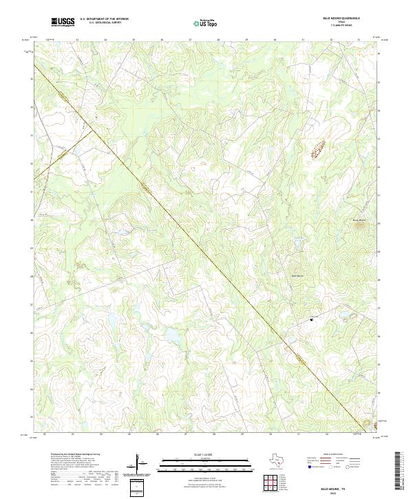
2022 Bald Mound
Gonzales County, TX
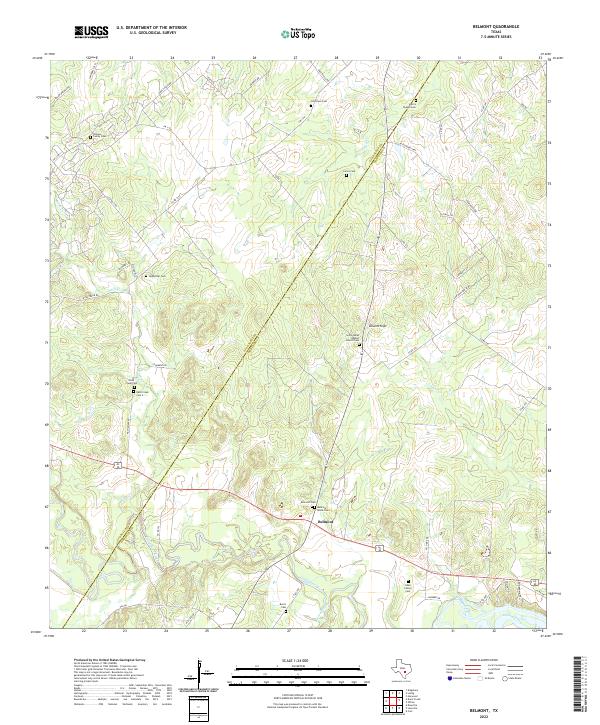
2022 Belmont
Gonzales County, TX
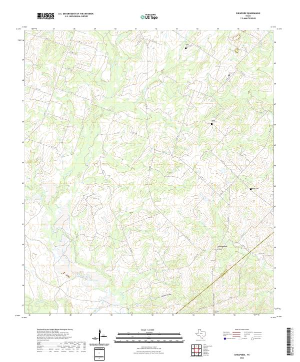
2022 Cheapside
Gonzales County, TX
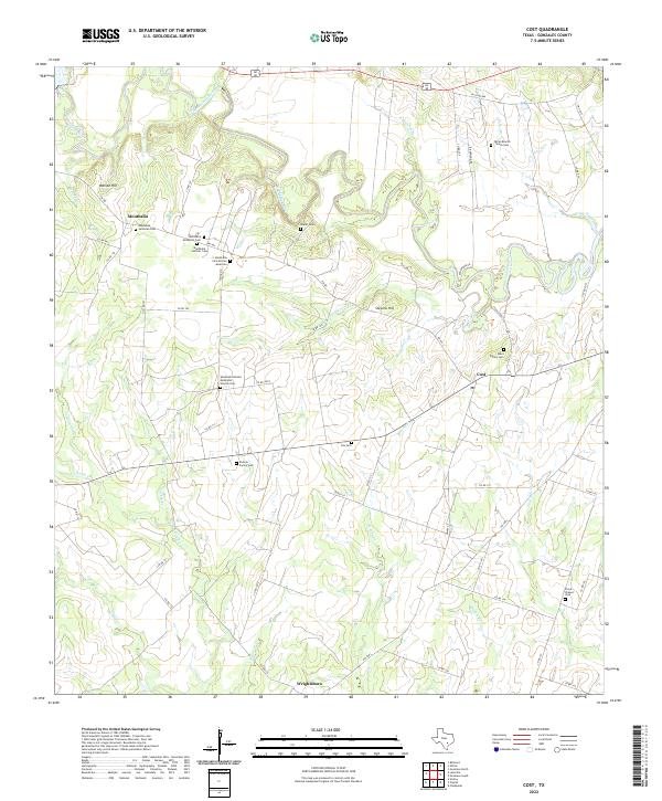
2022 Cost
Gonzales County, TX
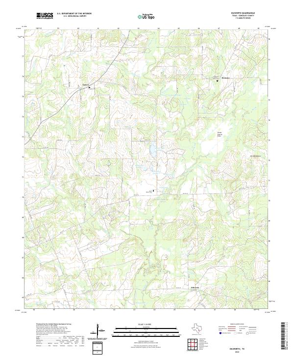
2022 Dilworth
Gonzales County, TX
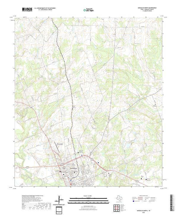
2022 Gonzales North
Gonzales County, TX
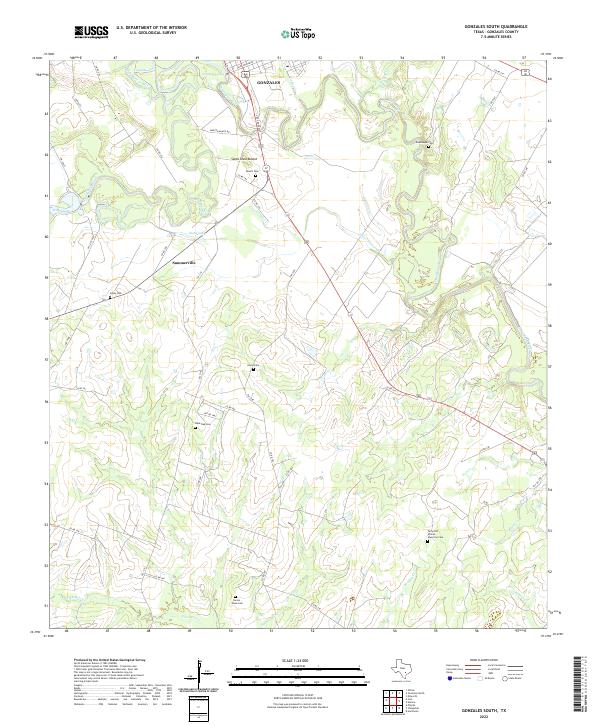
2022 Gonzales South
Gonzales County, TX
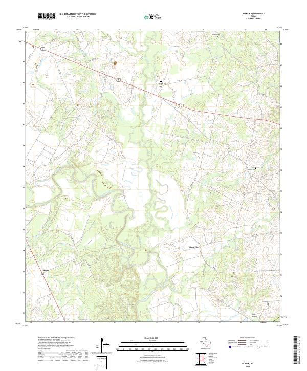
2022 Hamon
Gonzales County, TX
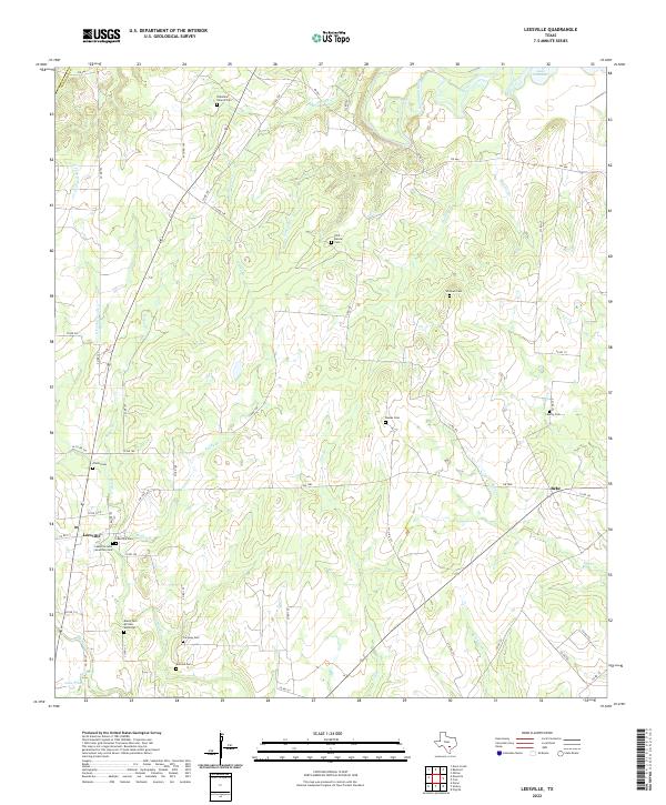
2022 Leesville
Gonzales County, TX
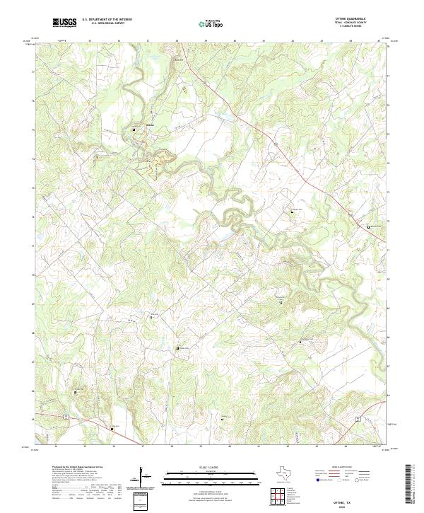
2022 Ottine
Gonzales County, TX
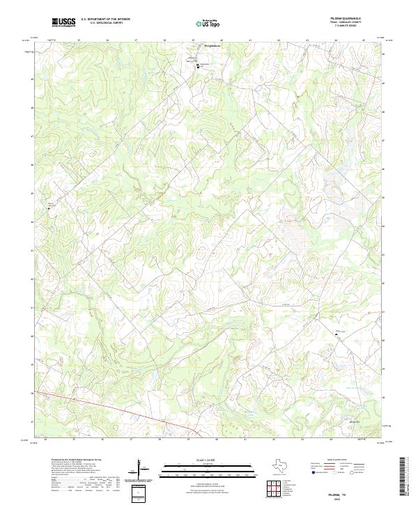
2022 Pilgrim
Gonzales County, TX
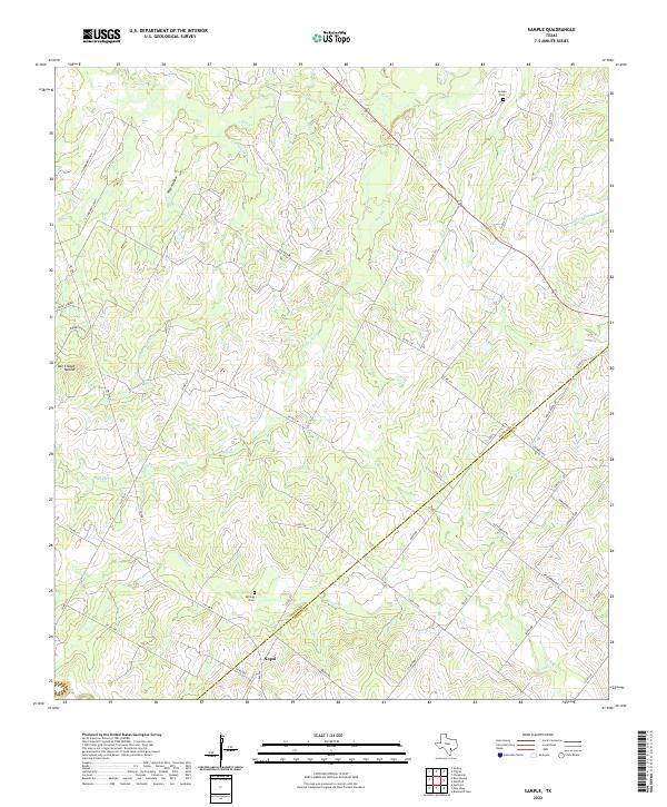
2022 Sample
Gonzales County, TX
2022 Sandy Fork
Gonzales County, TX