
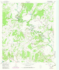
1959 Map of Ottine
USGS Topo · Published 1960About this map
The San Marcos River snakes through a landscape defined by significant healthcare and recreational landmarks at the close of the 1950s. Near the community of Ottine, the presence of the Texas Elks Hospital and the Gonzales Warm Springs Rehabilitation Foundation marks this area as a regional hub for medical care and recovery. The adjacent Palmetto State Park preserves the unique subtropical environment found along the riverbanks, including a nearby private Fish Hatchery.
Find a feature on this map
34 named features on this map. Tap any name to fly to it.
Don’t see what you’re looking for? This feature index may not catch every label — zoom into the map to look around manually.
Map Details
Editions of this 1959 Ottine Map
2 editions found
Other maps of this area

1901 · Flatonia
USGS Topo · 1:125,000

1911 · San Marcos
USGS Topo · 1:125,000

1919 · San Marcos
USGS Topo · 1:125,000

1920 · Smiley
USGS Topo · 1:125,000

1925 · San Marcos 4-c
USGS Topo · 1:48,000

1925 · San Marcos 4-a
USGS Topo · 1:48,000

1929 · Luling
USGS Topo · 1:62,500

1953 · Seguin
USGS Topo · 1:250,000

1958 · Seguin
USGS Topo · 1:250,000

1959 · Cost
USGS Topo · 1:24,000