Old Maps of Saint James, Texas
Explore 12 old maps of Saint James, spanning from 1911 to today. These high-resolution historic maps reveal how streets, neighborhoods, landmarks, and natural features evolved over time — perfect for genealogy, metal detecting, research, and local history exploration.
What you can do with these maps:
- See how Saint James changed over time: Compare historical maps to modern-day views to trace roads, homesites, rail lines & more.
- View detailed metadata: Each map includes creators, publishers, year, scale, and archive source.
- Overlay maps with satellite & LiDAR: Visualize the past alongside modern tools to explore terrain & human change.
- Trusted historical sources: Maps sourced from the USGS, Library of Congress, and other archives.
- Access maps your way: View online, download high-res files, or order prints for personal or research use.
Start exploring old maps of Saint James to uncover forgotten places, hidden landmarks, and the deep history beneath your feet.
Saint James, TX maps
(12)- 1911 Map of San Marcos
 1911 San Marcos1911 Print · USGSCentral Texas at the peak of the railroad era shows a landscape of small farming communities and country schools. Genealogists can trace family footprints across Comanche Flat or locate long-gone sites like Highpoint School and Bethany Church.2 unique versions available
 - 1919 Map of San Marcos
 1919 San Marcos1919 Print · USGSTexas at the close of the Great War was a landscape of river-fed farms and emerging rail corridors between San Marcos and Lockhart. Genealogists can trace family footprints through numerous rural landmarks like Clark Chapel, High Prairie School, and Larremore.
 - 1929 Map of Luling
 1929 Luling1929 Print · USGSThe Guadalupe and San Marcos river valleys of Central Texas are captured here in the late twenties during a peak era of rail-and-river life. Genealogists can locate family landmarks like Sand Hill Sch, St James Tabernacle, and the old settlement of Belmont.2 unique versions available
 - 1953 Map of Seguin, 1965 Print
 1953 Seguin1965 Print · USGSSouth Texas in the early fifties shows a thriving river-and-rail economy across the Guadalupe and Colorado basins. Genealogists and historians can trace rail routes like the Southern Pacific through Seguin, locate oil wells, or find the Gary AAF near San Marcos.4 unique versions available
 - 1958 Map of Seguin
 1958 Seguin1958 Print · USGSSouth Texas in the late fifties was a network of river-valley settlements and active oilfields tied together by major rail lines. Genealogists and historians can trace family-named sites across Rabb Prairie, locate the Behring Store, or follow the Southern Pacific through Schulenburg.
 - 1959 Map of Ottine, 1960 Print
 1959 Ottine1960 Print · USGSThe river valleys of Gonzales County come into sharp focus in the late fifties, centered on the unique subtropical landscape near Ottine. Genealogists and historians can trace the Randle Cem, find the Princeville Sch, and locate the Old Railroad Grade.2 unique versions available
 - 1985 Map of Seguin, 1986 Print
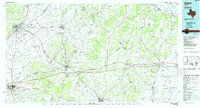 1985 Seguin1986 Print · USGSCentral Texas in the mid-1980s is defined by its vital oil industry and the crossroads of major interstate and rail networks. Genealogists and historians can trace the development of Luling Oil Field, identify the site of Old Flatonia, or locate family landmarks near St James and Palmetto State Park.2 unique versions available
 - 2010 Map of Ottine, 2010 Print
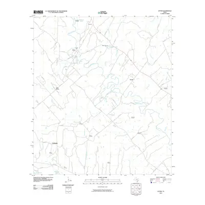 2010 Ottine2010 Print · USGSNear the confluence of the San Marcos and Guadalupe Rivers, this 2010 survey illustrates the rural heritage of the Texas countryside. Genealogists can locate numerous family burial sites such as Randle Cemetery, Ellis Cemetery, and the community at Saint James.
 - 2013 Map of Ottine, 2013 Print
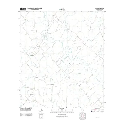 2013 Ottine2013 Print · USGSGonzales County is captured here in the early twenty-first century, featuring the winding San Marcos River and rural settlements. Genealogists can locate several remote burial sites including Greenwood Cem, Ellis Cem, and Hodge Cem.
 - 2016 Map of Ottine, 2016 Print
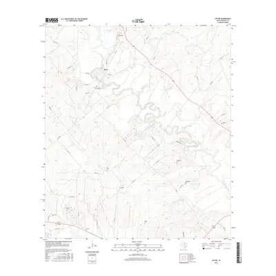 2016 Ottine2016 Print · USGSThe San Marcos River meanders through the Texas countryside in this 2010s survey of the Ottine area. Researchers can trace historic family connections at several rural burial sites, including Foster Cem, King Cem, and Hodge Cem.
 - 2019 Map of Ottine, 2019 Print
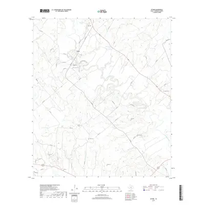 2019 Ottine2019 Print · USGSThe rural landscape near Ottine in the late 2010s is defined by the winding course of the San Marcos River. Genealogists can trace decades of local history through a high concentration of burial sites like Princeville Cem, Randle Cem, and King Cem.
 - 2022 Map of Ottine, 2022 Print
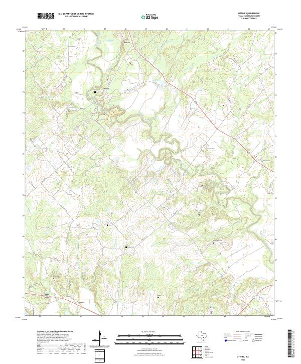 2022 Ottine2022 Print · USGSThe San Marcos River bottomlands in Gonzales County come alive on this map, showing the rural landscape as it appears today. Researchers can locate numerous historic burial sites such as McKeller Cem, Princeville Cem, and Randle Cem alongside local landmarks like Red Hill.
End of results
Showing maps 1-12 of 12
Top cities near Saint James
Frequently asked questions
- What are the different types of historical maps available for Saint James?
- What is the oldest map of Saint James?
- Where can I purchase historical maps of Saint James for my home or office?
- Where can I download high-res historical maps of Saint James?
- Are there historical topographic maps available for Saint James?
- Is there historical aerial imagery available for Saint James?
- Where are historical maps of Saint James sourced from?