
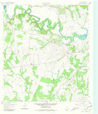
1959 Map of Cost
USGS Topo · Published 1960About this map
The Historical Monument marks the site of the 1835 Battle of Gonzales, where the "Come and Take It" cannon fire initiated the Texas Revolution. This 1959 survey of the Gonzales County landscape captures the rural character of the area around Cost, showing a complex network of waterways including the meandering Guadalupe River and several substantial lakes like Lake Gonzales and Wood Lake.
Find a feature on this map
37 named features on this map. Tap any name to fly to it.
Don’t see what you’re looking for? This feature index may not catch every label — zoom into the map to look around manually.
Map Details
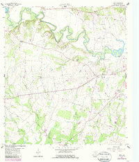
Editions of this 1959 Cost Map
Other maps of this area

1901 · Flatonia
USGS Topo · 1:125,000

1911 · San Marcos
USGS Topo · 1:125,000

1919 · San Marcos
USGS Topo · 1:125,000

1920 · Smiley
USGS Topo · 1:125,000

1925 · San Marcos 4-c
USGS Topo · 1:48,000

1929 · Luling
USGS Topo · 1:62,500

1953 · Seguin
USGS Topo · 1:250,000

1958 · Seguin
USGS Topo · 1:250,000

1959 · Ottine
USGS Topo · 1:24,000

1959 · Gonzales South
USGS Topo · 1:24,000