Old Maps of Oak Forest, Texas
Explore 10 old maps of Oak Forest, spanning from 1920 to today. These high-resolution historic maps reveal how streets, neighborhoods, landmarks, and natural features evolved over time — perfect for genealogy, metal detecting, research, and local history exploration.
What you can do with these maps:
- See how Oak Forest changed over time: Compare historical maps to modern-day views to trace roads, homesites, rail lines & more.
- View detailed metadata: Each map includes creators, publishers, year, scale, and archive source.
- Overlay maps with satellite & LiDAR: Visualize the past alongside modern tools to explore terrain & human change.
- Trusted historical sources: Maps sourced from the USGS, Library of Congress, and other archives.
- Access maps your way: View online, download high-res files, or order prints for personal or research use.
Start exploring old maps of Oak Forest to uncover forgotten places, hidden landmarks, and the deep history beneath your feet.
Oak Forest, TX maps
(10)- 1920 Map of Smiley
 1920 Smiley1920 Print · USGSSouth Texas ranching and rail life are preserved here in the era following the first World War. Genealogists can trace family roots through labeled landmarks like Willow Springs Ranch, the Southern Pacific Railroad, and the settlement at Nixon.
 - 1953 Map of Seguin, 1965 Print
 1953 Seguin1965 Print · USGSSouth Texas in the early fifties shows a thriving river-and-rail economy across the Guadalupe and Colorado basins. Genealogists and historians can trace rail routes like the Southern Pacific through Seguin, locate oil wells, or find the Gary AAF near San Marcos.4 unique versions available
 - 1958 Map of Seguin
 1958 Seguin1958 Print · USGSSouth Texas in the late fifties was a network of river-valley settlements and active oilfields tied together by major rail lines. Genealogists and historians can trace family-named sites across Rabb Prairie, locate the Behring Store, or follow the Southern Pacific through Schulenburg.
 - 1959 Map of Cost, 1960 Print
 1959 Cost1960 Print · USGSGonzales County's revolutionary history is preserved in this late 1950s survey of the Guadalupe River valley. Researchers can pinpoint the Historical Monument at Cost, local schools like Cost Sch, and family cemeteries including Storey Cem.3 unique versions available
 - 1985 Map of Cuero
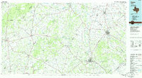 1985 Cuero1985 Print · USGSSouth Texas in the mid-eighties reveals a landscape of river-bottom farms and active petroleum production. Researchers can trace family-named landmarks and rural settlements like Monthalia, Kosciuszko, and the Thomaston Oil Field along the Southern Pacific rail lines.2 unique versions available
 - 2010 Map of Cost, 2010 Print
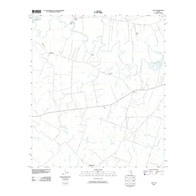 2010 Cost2010 Print · USGSCoastal plains and river bends define the area around Monthalia and Cost in the early twenty-first century. Genealogists and local historians can trace family ties at Storey Cemetery or locate the historic waterworks at the M A Wade Dam and Lake Gonzales.
 - 2013 Map of Cost, 2013 Print
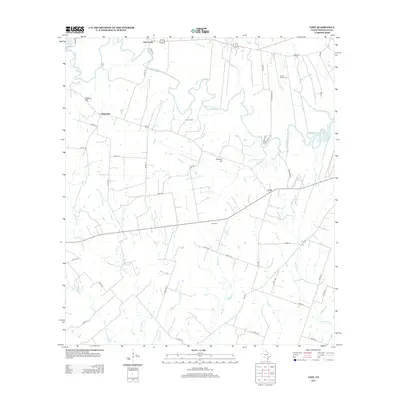 2013 Cost2013 Print · USGSCoastal plains and river valleys in Gonzales County come to life in this detailed map of the rural countryside in the early 2010s. Researchers can locate family roots at Oso Cemetery or trace old homesteads near Monthalia and Oak Forest along the Guadalupe River.
 - 2016 Map of Cost, 2016 Print
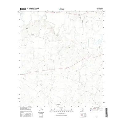 2016 Cost2016 Print · USGSGonzales County, Texas, remains a landscape of river bends and rural crossroads in the mid-2010s. Genealogists and local historians can trace family ties at Storey Cem or Oso Cem and locate historic community centers like Monthalia and Wrightsboro.
 - 2019 Map of Cost, 2019 Print
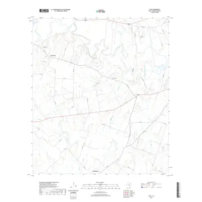 2019 Cost2019 Print · USGSGonzales County in the late 2010s reveals a rural landscape defined by the winding Guadalupe River and established farming communities. Researchers can trace family history through sites like Storey Cem, Oso Cem, and the small settlements of Monthalia and Cost.
 - 2022 Map of Cost, 2022 Print
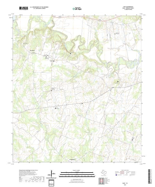 2022 Cost2022 Print · USGSIn the 2020s, this area of Gonzales County remains defined by the winding Guadalupe River and rural family history. Genealogists can trace deep roots through a remarkable cluster of sites like Monthalia Catholic Cem and the Rossow Family Cem.
End of results
Showing maps 1-10 of 10
Top cities near Oak Forest
- Gonzales historical maps
- Luling historical maps
- Nixon historical maps
- Smiley historical maps
- Kingsbury historical maps
Frequently asked questions
- What are the different types of historical maps available for Oak Forest?
- What is the oldest map of Oak Forest?
- Where can I purchase historical maps of Oak Forest for my home or office?
- Where can I download high-res historical maps of Oak Forest?
- Are there historical topographic maps available for Oak Forest?
- Is there historical aerial imagery available for Oak Forest?
- Where are historical maps of Oak Forest sourced from?