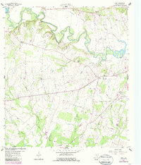
1959 Map of Cost
USGS Topo · Published 1987About this map
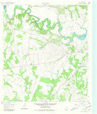
The Historical Monument marks a pivotal site in Texas history near the winding course of the Guadalupe River. This landscape in Gonzales County is defined by its agricultural and educational foundations, featuring the Texas A & M College Experimental Station No 21 and the rural center of Cost. The terrain is shaped by numerous waterways including Five Mile Creek and Cottonwood Creek, which flow through a region punctuated by small community hubs like Monthalia and Wrightsboro. Genealogists will find significant value in the distribution of local landmarks such as Pecan Branch Cem, Oso Cem, and Monthalia Ch. The map also captures the local economy of the mid-20th century, noting several Poultry Farm locations and specialized infrastructure like the Artesian Well (Hot) and the Spillway Powerhouse on the river.
Find a feature on this map
41 named features on this map. Tap any name to fly to it.
Don’t see what you’re looking for? This feature index may not catch every label — zoom into the map to look around manually.
Map Details
Editions of this 1959 Cost Map
Other maps of this area

1901 · Flatonia
USGS Topo · 1:125,000

1911 · San Marcos
USGS Topo · 1:125,000

1919 · San Marcos
USGS Topo · 1:125,000

1920 · Smiley
USGS Topo · 1:125,000

1925 · San Marcos 4-c
USGS Topo · 1:48,000

1929 · Luling
USGS Topo · 1:62,500

1953 · Seguin
USGS Topo · 1:250,000

1958 · Seguin
USGS Topo · 1:250,000

1959 · Ottine
USGS Topo · 1:24,000

1959 · Cost
USGS Topo · 1:24,000