Old Maps of Denworth, Texas for Academic Research
Study the evolution of Denworth with 9 high-resolution historic maps. Whether you're teaching, researching, or modeling changes in land use, these maps provide essential visual documentation of urban, environmental, and geographic change.
- Analyze long-term change: Track patterns in development, transportation, and natural features.
- Ideal for environmental or urban studies: Support academic projects with primary historical map data.
- Use in the classroom or lab: Educators and researchers rely on these maps to bring historical context to life.
These maps are a powerful tool for teaching, research, and visualizing how Denworth has changed over the decades.
Denworth, TX maps
(9)- 1954 Map of Amarillo, 1966 Print
 1954 Amarillo1966 Print · USGSThe Texas Panhandle in the mid-1960s shows a landscape of rising industrial power and deep-rooted ranching tradition. Local historians can trace the paths of the Panhandle and Santa Fe railroad or locate sites like the Pantex Ordnance Plant and Mobeetie.2 unique versions available
 - 1958 Map of Amarillo
 1958 Amarillo1958 Print · USGSThe Texas Panhandle in the mid-1950s reveals a landscape of expanding military installations and oil-rich rail towns. Local historians can trace the development of Amarillo Air Force Base or locate smaller settlements like Magic City and New Mobeetie.
 - 1962 Map of Pond Creek, 1965 Print
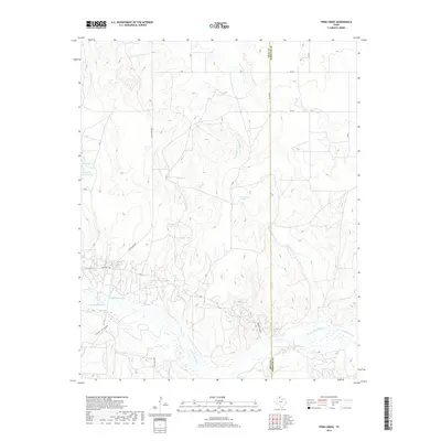
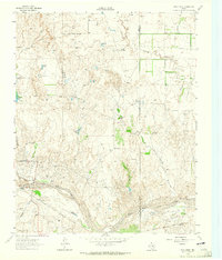 1962 Pond Creek1965 Print · USGSThe Texas Panhandle ranching country of the early sixties is captured here along the breaks of the North Fork Red River. Researchers can trace the path of the Fort Worth and Denver railroad and locate rural landmarks like Graham and the Huseby Ranch.2 unique versions available
 - 1983 Map of Shamrock
 1983 Shamrock1983 Print · USGSThe Texas Panhandle in the early 1980s reveals a landscape shaped by petroleum and the rail lines of the southern plains. Genealogists and historians can trace the Chicago Rock Island and Pacific corridor through Mc Lean and Shamrock, or locate smaller centers like Magic City and Lefors.
 - 2010 Map of Pond Creek, 2010 Print
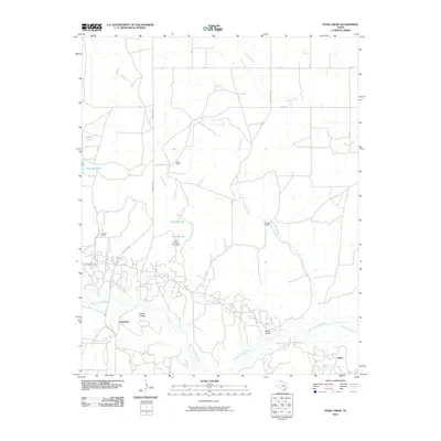 2010 Pond Creek2010 Print · USGSCovers Denworth, including Bellco, Gray County, and other nearby areas
 - 2012 Map of Pond Creek, 2012 Print
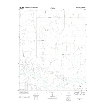 2012 Pond Creek2012 Print · USGSCovers Denworth, including Bellco, Gray County, and other nearby areas
 - 2016 Map of Pond Creek, 2016 Print
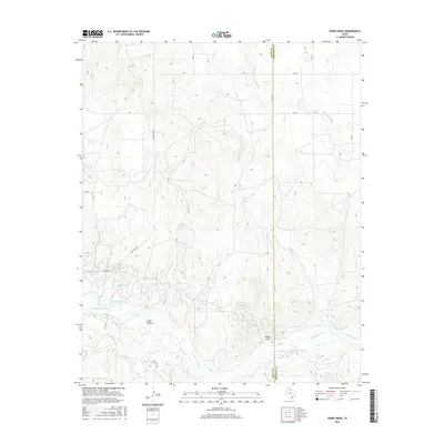 2016 Pond Creek2016 Print · USGSCovers Denworth, including Bellco, Gray County, and other nearby areas
 - 2019 Map of Pond Creek, 2019 Print
 2019 Pond Creek2019 Print · USGSCovers Denworth, including Bellco, Gray County, and other nearby areas
 - 2022 Map of Pond Creek, 2022 Print
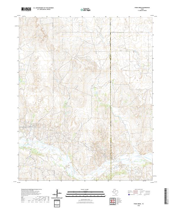 2022 Pond Creek2022 Print · USGSThe Texas Panhandle cattle country comes into focus in this recent survey of the Gray and Wheeler county line. Researchers can trace the winding N Fork Red River and identify local landmarks like White Horse Spring, Devils Gulch, and Tadpole Lake.
End of results
Showing maps 1-9 of 9
Top cities near Denworth
- McLean historical maps
- Lefors historical maps
- Mobeetie historical maps
- Mobeetie historical maps
- Alanreed historical maps
Frequently asked questions
- What are the different types of historical maps available for Denworth?
- What is the oldest map of Denworth?
- Where can I purchase historical maps of Denworth for my home or office?
- Where can I download high-res historical maps of Denworth?
- Are there historical topographic maps available for Denworth?
- Is there historical aerial imagery available for Denworth?
- Where are historical maps of Denworth sourced from?