Old Maps of Heaton, Texas for Hiking & Exploration
Hike through history with 9 historic maps of Heaton. Explore old trails, ghost towns, and forgotten backroads — perfect for outdoor adventurers and local explorers.
- Rediscover forgotten places: Map out old mining camps, roads, and footpaths that no longer exist on modern maps.
- Layer with modern tools: Combine with LiDAR or satellite views to plan hikes through historical terrain.
- Made for exploration: Popular among hikers, overlanders, and local history lovers.
Use these maps to find adventure and explore the hidden past of Heaton.
Heaton, TX maps
(9)- 1954 Map of Amarillo, 1966 Print
 1954 Amarillo1966 Print · USGSThe Texas Panhandle in the mid-1960s shows a landscape of rising industrial power and deep-rooted ranching tradition. Local historians can trace the paths of the Panhandle and Santa Fe railroad or locate sites like the Pantex Ordnance Plant and Mobeetie.2 unique versions available
 - 1958 Map of Amarillo
 1958 Amarillo1958 Print · USGSThe Texas Panhandle in the mid-1950s reveals a landscape of expanding military installations and oil-rich rail towns. Local historians can trace the development of Amarillo Air Force Base or locate smaller settlements like Magic City and New Mobeetie.
 - 1967 Map of Hoover, 1969 Print
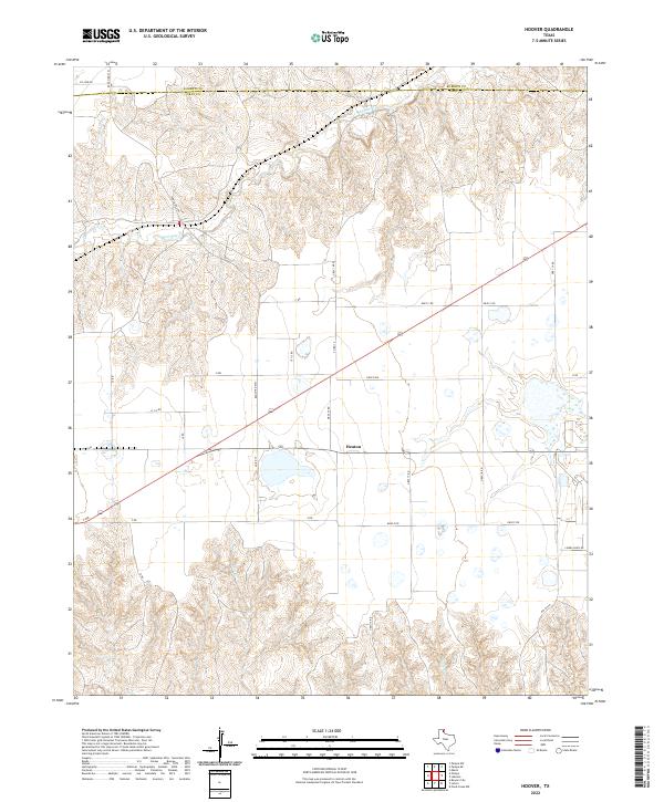
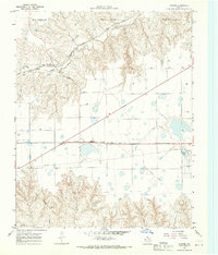 1967 Hoover1969 Print · USGSGray County and the Roberts County line are captured in the late sixties as the Panhandle's rail and ranching economy thrived. Trace the tracks of the Atchison Topeka and Santa Fe through Hoover and locate the Grain Elevators at Heaton.
 - 1982 Map of Pampa, 1983 Print
 1982 Pampa1983 Print · USGSThe Texas Panhandle in the early eighties shows a landscape shaped by petroleum and ranching along the Canadian River. Genealogists and local historians can trace the paths of the Atchison Topeka and Santa Fe railroad through Pampa, Mobeetie, and Heaton.
 - 2010 Map of Hoover, 2010 Print
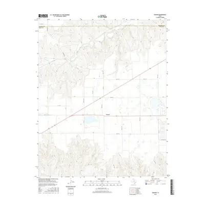
 2010 Hoover2010 Print · USGSCovers Heaton, including Hoover, Gray County, and other nearby areas
 - 2012 Map of Hoover, 2012 Print
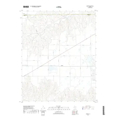
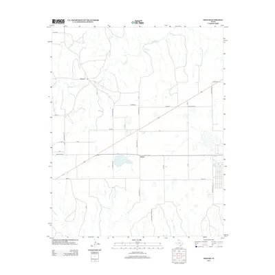 2012 Hoover2012 Print · USGSCovers Heaton, including Hoover, Gray County, and other nearby areas
 - 2016 Map of Hoover, 2016 Print
 2016 Hoover2016 Print · USGSCovers Heaton, including Hoover, Gray County, and other nearby areas
 - 2019 Map of Hoover, 2019 Print
 2019 Hoover2019 Print · USGSCovers Heaton, including Hoover, Gray County, and other nearby areas
 - 2022 Map of Hoover, 2022 Print
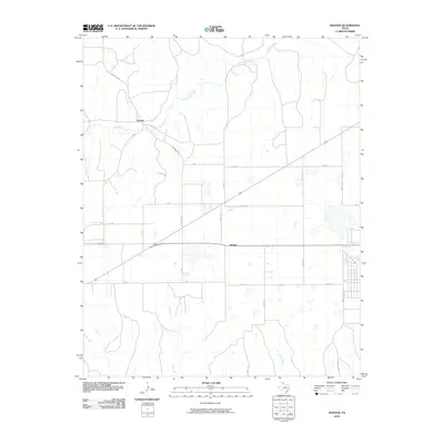
 2022 Hoover2022 Print · USGSThe Texas Panhandle comes into focus in this contemporary survey of Gray County, showing the intersection of ranching infrastructure and creek drainages. Researchers can trace the area around Heaton or follow the paths of Red Deer Cr and Thut Cr through the local breaks.
End of results
Showing maps 1-9 of 9
Top cities near Heaton
Frequently asked questions
- What are the different types of historical maps available for Heaton?
- What is the oldest map of Heaton?
- Where can I purchase historical maps of Heaton for my home or office?
- Where can I download high-res historical maps of Heaton?
- Are there historical topographic maps available for Heaton?
- Is there historical aerial imagery available for Heaton?
- Where are historical maps of Heaton sourced from?