2020s Maps of Navasota, Texas
Explore 2 historic maps of Navasota from the 2020s. These maps offer a rare glimpse into what life looked like during the 2020s — showing old roads, neighborhoods, homes, and landmarks that have changed or disappeared over time.
Whether you're researching your family's past, planning a metal detecting trip, or studying how Navasota's landscape evolved across the 2020s, these high-resolution maps are a powerful tool for exploring the history of this region.
- Focus on a specific era: All maps on this page are from the 2020s, giving you a focused view of this time period.
- See what’s changed: Compare century-old streets, trails, and buildings to today's modern landscape using overlays and satellite layers.
- Research with precision: Use these maps for genealogy, historical research, land use analysis, or educational projects.
- View, download, or print: Maps are fully viewable online in high resolution, and can be downloaded or printed for your own records.
Start exploring Navasota's history through authentic maps from the 2020s. This is your window into the past.
Navasota, TX maps
(2)- 2022 Map of Courtney, 2022 Print
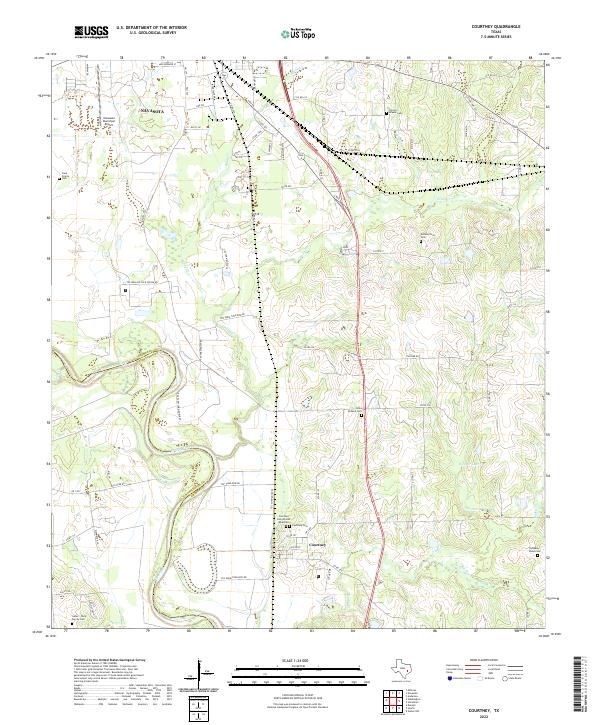 2022 Courtney2022 Print · USGSGrimes County at the edge of the Brazos River remains a landscape shaped by its waterways and family heritage. Genealogists can locate numerous burial sites like Sommerford Cem and Saint Holland Cem alongside the winding Beason Cr.
 - 2022 Map of Navasota, 2022 Print
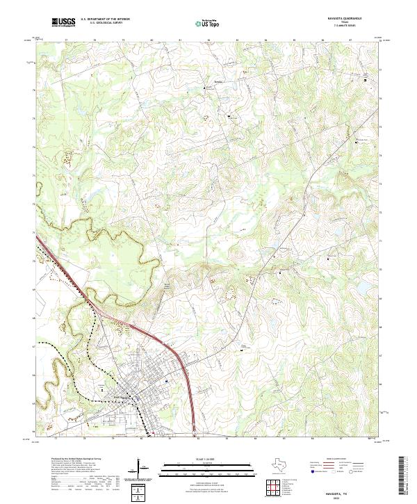 2022 Navasota2022 Print · USGSNavasota and the surrounding Grimes County countryside appear here as they were in the early 2020s, showing a mix of historic city streets and rural land. Researchers can locate many local burial grounds like Oakland Cem and Camp Family Cem while tracing the winding path of the Navasota River.
End of results
Showing maps 1-2 of 2
Top cities near Navasota
- College Station historical maps
- Bryan historical maps
- Millican historical maps
- Anderson historical maps
Frequently asked questions
- What are the different types of historical maps available for Navasota?
- What is the oldest map of Navasota?
- Where can I purchase historical maps of Navasota for my home or office?
- Where can I download high-res historical maps of Navasota?
- Are there historical topographic maps available for Navasota?
- Is there historical aerial imagery available for Navasota?
- Where are historical maps of Navasota sourced from?