Old Maps of Goodlett, Texas for Genealogy
Trace your family roots with 10 historic maps of Goodlett. These high-res maps reveal old neighborhoods, homesites, landmarks, and streets — helping you uncover where your ancestors lived and how the area evolved over time.
- Explore historic neighborhoods: Identify where your relatives may have lived in the 1800s or 1900s.
- Compare maps over time: Trace the changes in streets, buildings, and landmarks for multi-generational research.
- Perfect for genealogy & ancestry research: Used by family historians and researchers to map out lineage and migration.
These maps are an incredible resource for exploring your personal connection to Goodlett's past.
Goodlett, TX maps
(10)- 1955 Map of Lawton, 1958 Print
 1955 Lawton1958 Print · USGSSouthwestern Oklahoma and North Texas are shown here in the mid-fifties, dominated by the Wichita Mountains and the vital Red River watershed. Genealogists and historians can trace the foundations of Lawton alongside rural landmarks like Rainy Mountain Church and Pleasant Hill School.5 unique versions available
 - 1960 Map of Goodlett, 1962 Print
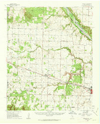 1960 Goodlett1962 Print · USGSHardeman County at the dawn of the 1960s was a landscape defined by the Red River and a busy network of converging rail lines. Researchers can trace the layouts of small communities like Goodlett and Punkin Center or locate rural burial grounds including Elba Cem and Johnson Cem.2 unique versions available
 - 1984 Map of Goodlett, 1985 Print
 1984 Goodlett1985 Print · USGSHardeman County in the late seventies is captured here at the transition between the rolling plains and the rugged breaks. Genealogists can trace the rural layouts of Goodlett, Wheatland, and Lazare, while exploring local landmarks like Hepsidam Hill.
 - 1986 Map of Vernon
 1986 Vernon1986 Print · USGSNorth Texas and Southern Oklahoma meet along the river in the mid-1980s, revealing a landscape defined by ranching, oil production, and rail transport. Researchers can locate distinct landmarks such as Medicine Mound, the Conley Oil Field, and the community of Punkin Center.
 - 1990 Map of Goodlett, 1995 Print
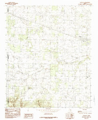
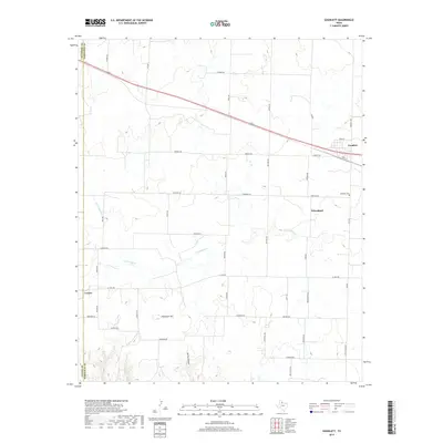
 1990 Goodlett1995 Print · USGSThe intersection of Childress, Hardeman, and Cottle counties in North Texas is captured here during the 1990s. Researchers can trace rural settlement patterns through communities like Goodlett and Wheatland or find landmarks such as Hepsidam Hill and Punkin Center.
 - 2010 Map of Goodlett, 2010 Print
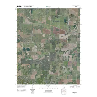
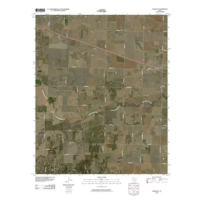 2010 Goodlett2010 Print · USGSCovers Goodlett, including Lazare, Punkin Center, and other nearby areas
 - 2012 Map of Goodlett, 2012 Print
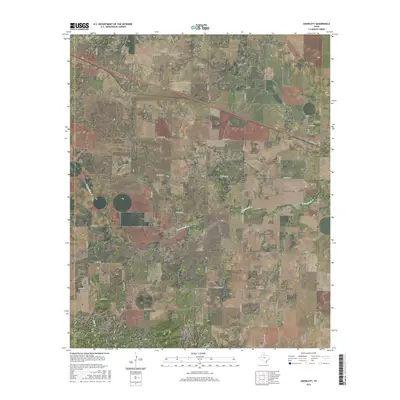
 2012 Goodlett2012 Print · USGSCovers Goodlett, including Lazare, Punkin Center, and other nearby areas
 - 2016 Map of Goodlett, 2016 Print
 2016 Goodlett2016 Print · USGSCovers Goodlett, including Lazare, Punkin Center, and other nearby areas
 - 2019 Map of Goodlett, 2019 Print
 2019 Goodlett2019 Print · USGSCovers Goodlett, including Lazare, Punkin Center, and other nearby areas
 - 2022 Map of Goodlett, 2022 Print
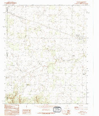
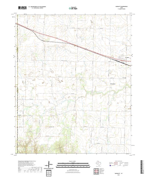 2022 Goodlett2022 Print · USGSHardeman County at the edge of the Texas Panhandle remains a landscape of quiet agricultural settlements and rolling plains. Genealogists can trace family connections at Goodlett Cem or explore the rural surroundings of Wheatland and Lazare.
End of results
Showing maps 1-10 of 10
Top cities near Goodlett
Frequently asked questions
- What are the different types of historical maps available for Goodlett?
- What is the oldest map of Goodlett?
- Where can I purchase historical maps of Goodlett for my home or office?
- Where can I download high-res historical maps of Goodlett?
- Are there historical topographic maps available for Goodlett?
- Is there historical aerial imagery available for Goodlett?
- Where are historical maps of Goodlett sourced from?