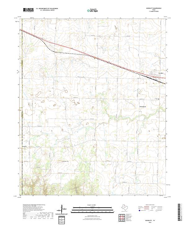
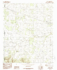
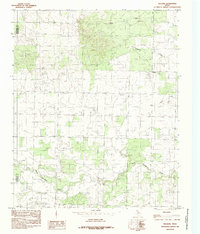
2022 Map of Goodlett
USGS Topo · Published 2022This historical map portrays the area of Goodlett in 2022, primarily covering Hardeman County as well as portions of Cottle County and Childress County. Featuring a scale of 1:24000, this map provides a highly detailed snapshot of the terrain, roads, buildings, counties, and historical landmarks in the Goodlett region at the time. Published in 2022, it is the sole known edition of this map.
Map Details
Editions of this 2022 Goodlett Map
This is the sole edition of this map. No revisions or reprints were ever made.
Historical Maps of Goodlett Through Time
25 maps found
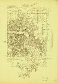
1927 Quanah 3-a
Hardeman County, TX
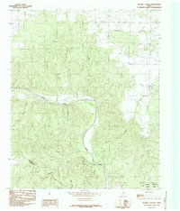
1958 Medicine Mound
Hardeman County, TX
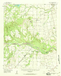
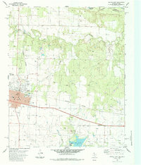
1960 Goodlett
Hardeman County, TX
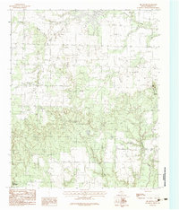
1983 Big Mound
Hardeman County, TX
1983 Medicine Mound
Hardeman County, TX
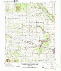
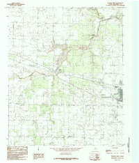
1984 Goodlett
Hardeman County, TX
1984 Maybell Canyon
Hardeman County, TX
1984 Quanah East
Hardeman County, TX
1984 Quanah West
Hardeman County, TX
1984 Willams
Hardeman County, TX
1985 North Groesbeck
Hardeman County, TX
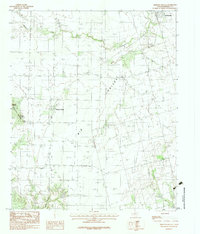
1990 Big Mound
Hardeman County, TX
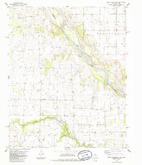
1990 Goodlett
Hardeman County, TX
1990 Maybell Canyon
Hardeman County, TX
1990 Medicine Mound
Hardeman County, TX

1990 Quanah West
Hardeman County, TX
1990 Willams
Hardeman County, TX
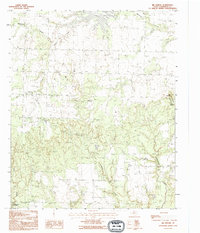
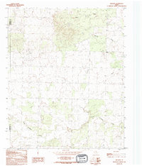
2022 Big Mound
Hardeman County, TX
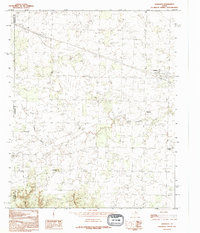
2022 Goodlett
Hardeman County, TX
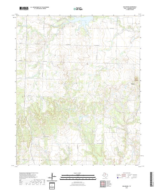
2022 Maybell Canyon
Hardeman County, TX
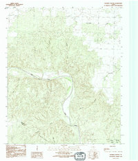
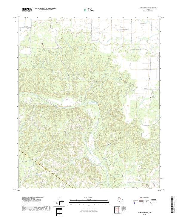
2022 Medicine Mound
Hardeman County, TX
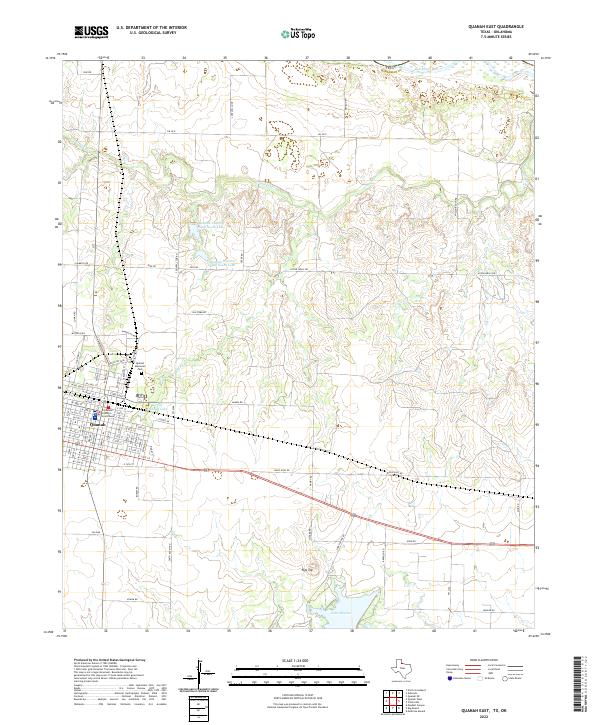
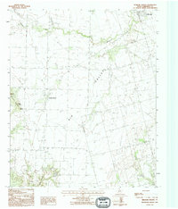
2022 Quanah East
Hardeman County, TX
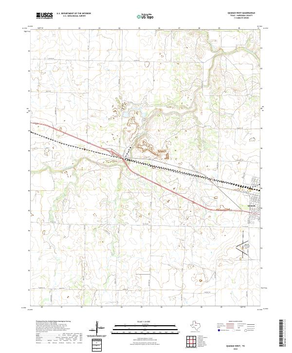
2022 Quanah West
Hardeman County, TX
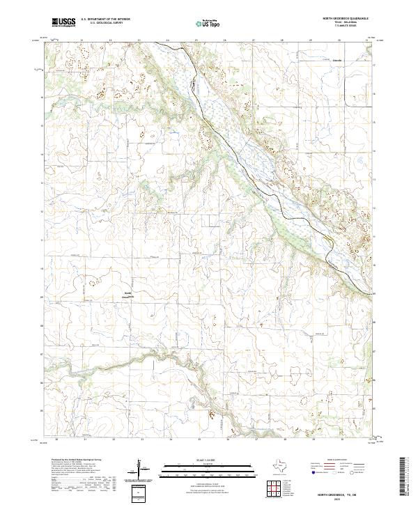
2023 North Groesbeck
Hardeman County, TX
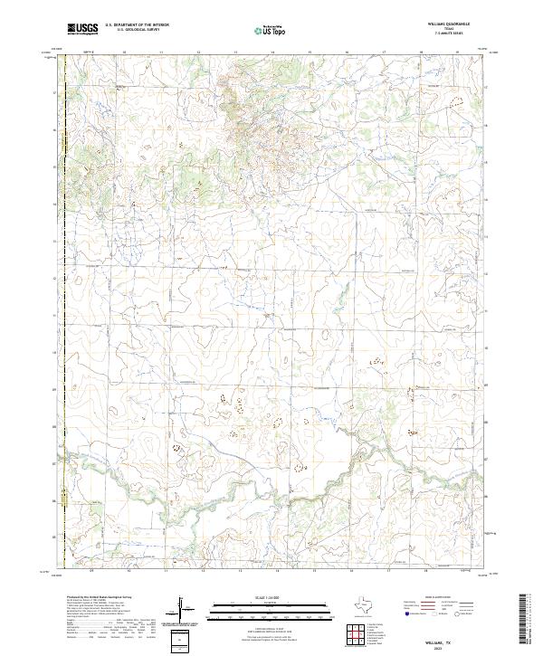
2023 Williams
Hardeman County, TX