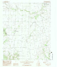
1983 Map of Medicine Mound
USGS Topo · Published 1984About this map
The community of Medicine Mound and its namesake geological formations define this corner of Hardeman County. These prominent rises, including Cedar Mound, Third Mound, and Little Mound, stand as significant landmarks above the surrounding plains. The settlement of Chillicothe appears in the northeast, connected to the wider region by a network of roads that traverse the broad expanse of Big Valley.
Find a feature on this map
12 named features on this map. Tap any name to fly to it.
Don’t see what you’re looking for? This feature index may not catch every label — zoom into the map to look around manually.
Map Details
Editions of this 1983 Medicine Mound Map
This is the sole edition of this map. No revisions or reprints were ever made.
Other maps of this area

1955 · Lawton
USGS Topo · 1:250,000

1958 · Vernon
USGS Topo · 1:62,500

1958 · Medicine Mound
USGS Topo · 1:62,500

1958 · Elmer
USGS Topo · 1:62,500

1960 · Quanah
USGS Topo · 1:62,500

1983 · Warrior Hollow
USGS Topo · 1:24,000

1983 · Tolbert
USGS Topo · 1:24,000
1983 · Rayland
USGS Topo · 1:24,000

1983 · Big Mound
USGS Topo · 1:24,000
1983 · Margaret
USGS Topo · 1:24,000