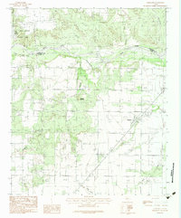
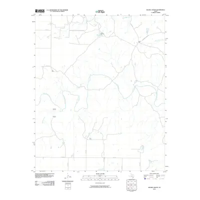
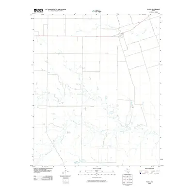
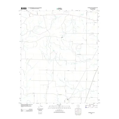
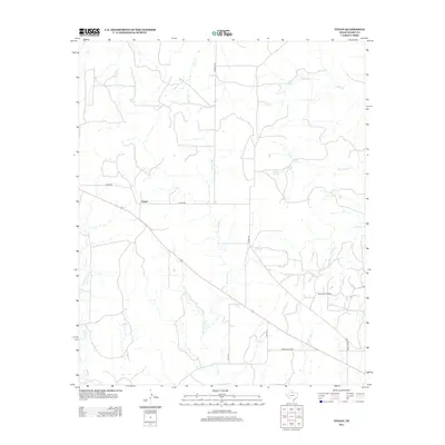
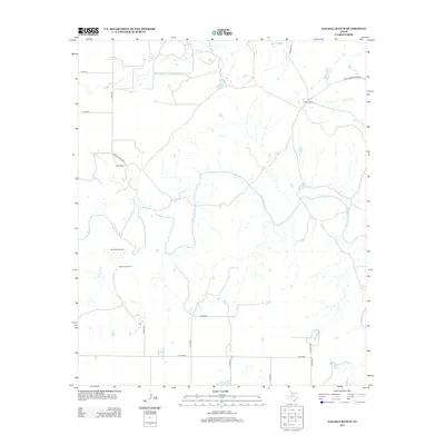
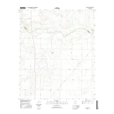
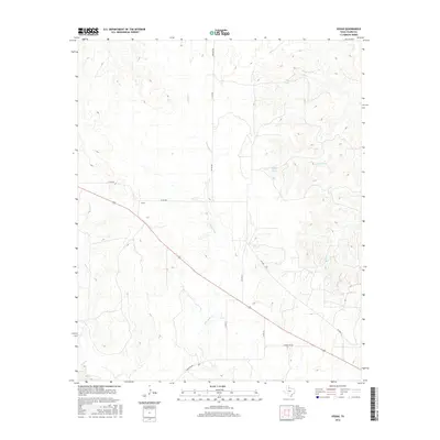
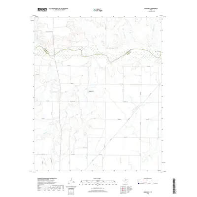
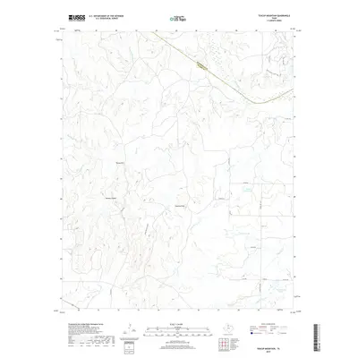
1983 Map of Margaret
USGS Topo · Published 1984About this map
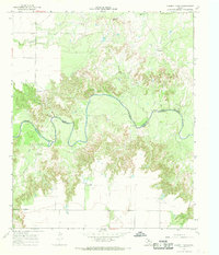
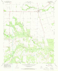
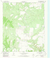
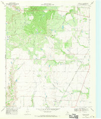
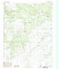
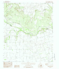
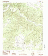
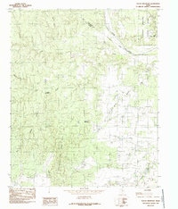
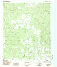
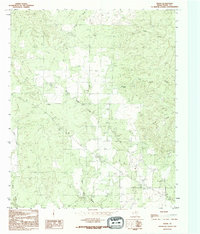
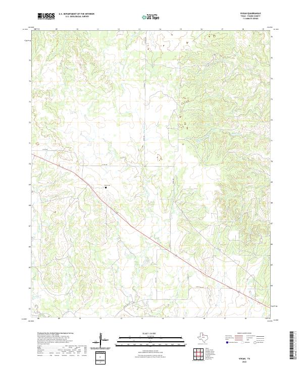
The settlement of Margaret anchors this northern Texas landscape where the high plains meet the intricate drainage systems of the eastern Panhandle. Surveyed in the early 1980s, the map reveals a rugged terrain dominated by the Pease River, which forms the natural boundary between Hardeman and Foard Counties. In the northwest corner, Copper Breaks State Park protects a unique geological area of red beds and canyons, centered around Lake Copper Breaks. The land south of the river is marked by extensive ranching and agricultural features, including a complex network of seasonal drainages such as Raggedy Creek and Mule Creek. Significant local relief is provided by Raggedy Mountain, while scattered Gravel Pits indicate local industry. The prevalence of a Levee near the primary settlement highlights the historical management of the river's floodplains in this corner of the state.
Find a feature on this map
15 named features on this map. Tap any name to fly to it.
Don’t see what you’re looking for? This feature index may not catch every label — zoom into the map to look around manually.
Map Details
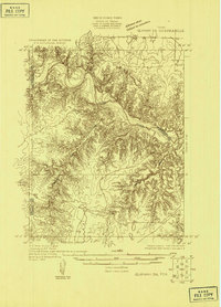
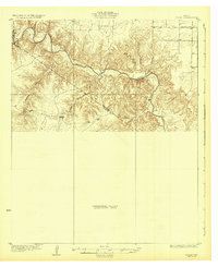
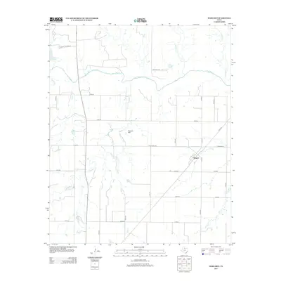
Editions of this 1983 Margaret Map
2 editions found
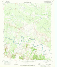
Historical Maps of Margaret Through Time
67 maps found
1927 Quanah 3-b
Foard County, TX
1932 Vivian
Foard County, TX

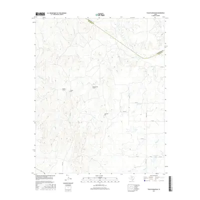
1960 Teacup Mountain
Foard County, TX
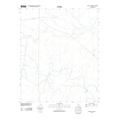
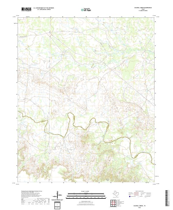
1966 Colwell Creek
Foard County, TX
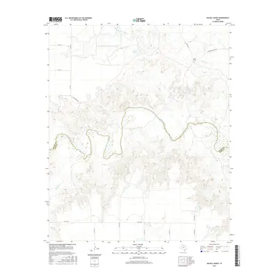
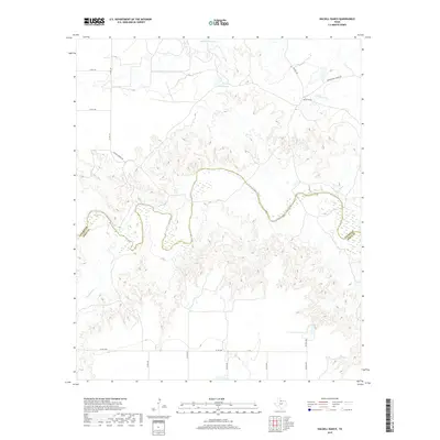
1966 Halsell Ranch
Foard County, TX
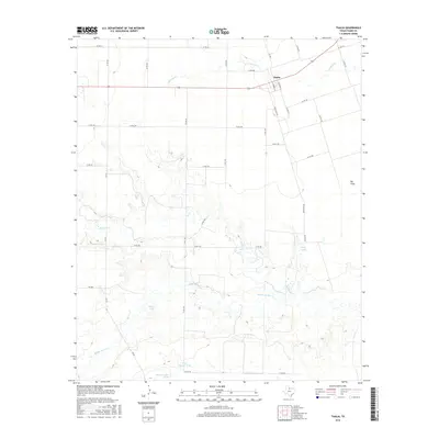
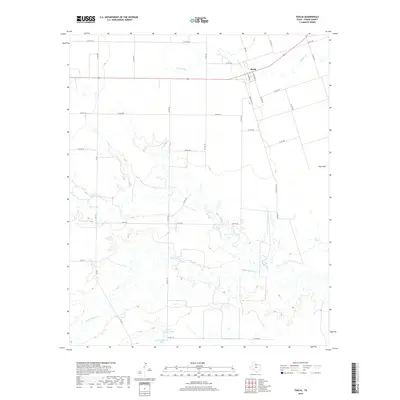
1966 Thalia
Foard County, TX
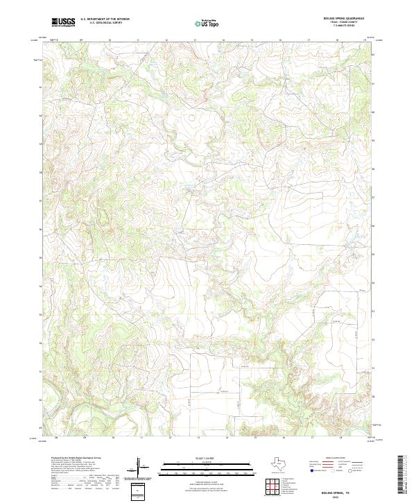
1968 Boiling Spring
Foard County, TX
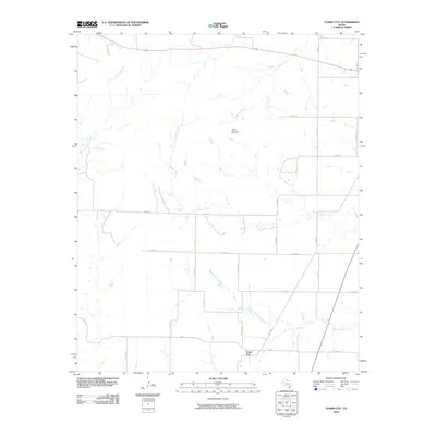
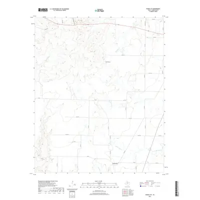
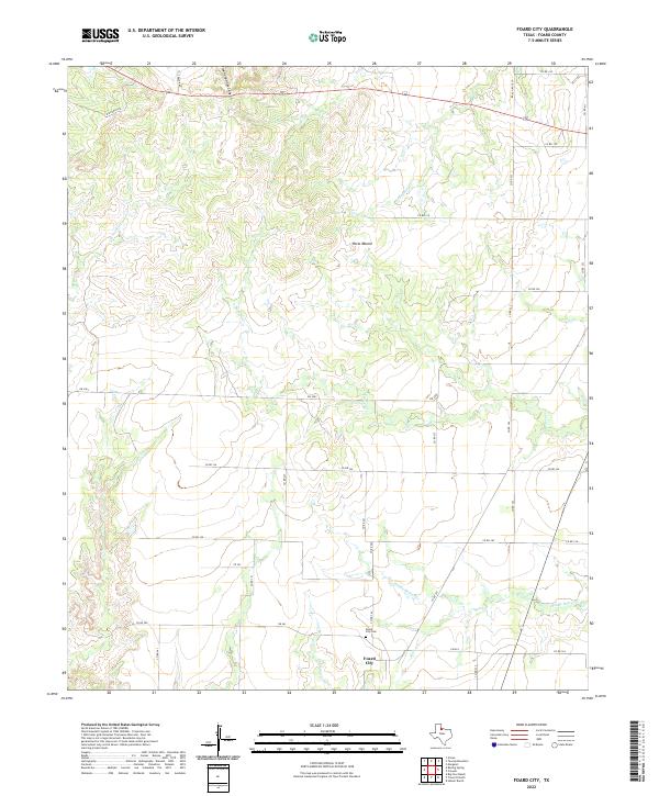
1968 Foard City
Foard County, TX
1983 Margaret
Foard County, TX
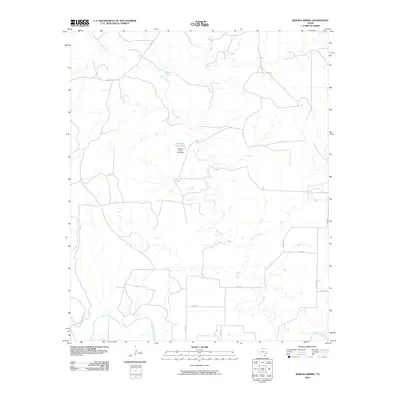
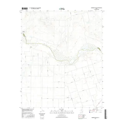
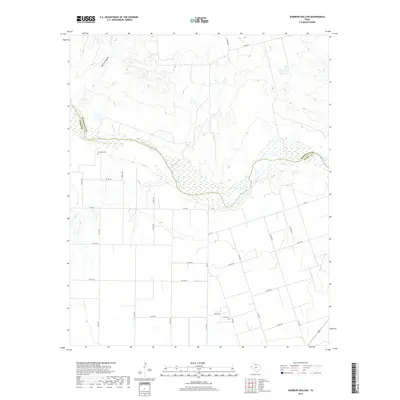
1983 Warrior Hollow
Foard County, TX
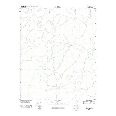
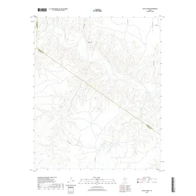
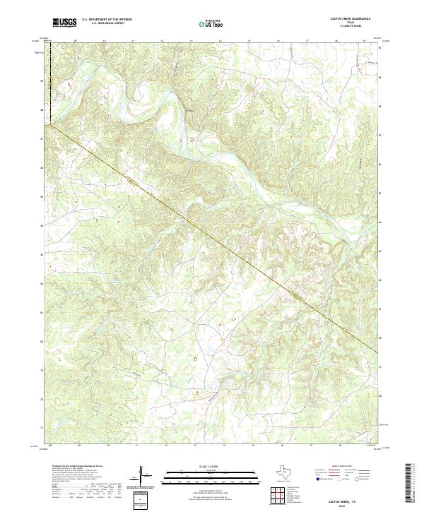
1984 Cactus Creek
Foard County, TX
1984 Teacup Mountain
Foard County, TX
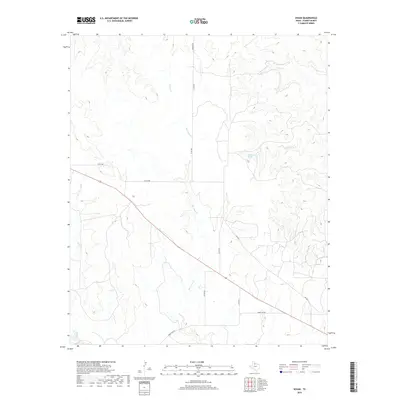
1984 Vivian
Foard County, TX
1990 Cactus Creek
Foard County, TX
1990 Margaret
Foard County, TX
1990 Teacup Mountain
Foard County, TX
1990 Vivian
Foard County, TX
2010 Boiling Spring
Foard County, TX
2010 Cactus Creek
Foard County, TX
2010 Colwell Creek
Foard County, TX
2010 Foard City
Foard County, TX
2010 Halsell Ranch
Foard County, TX
2010 Margaret
Foard County, TX
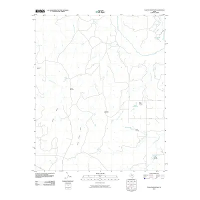
2010 Teacup Mountain
Foard County, TX
2010 Thalia
Foard County, TX
2010 Vivian
Foard County, TX
2010 Warrior Hollow
Foard County, TX
2012 Cactus Creek
Foard County, TX
2012 Foard City
Foard County, TX
2012 Margaret
Foard County, TX
2012 Teacup Mountain
Foard County, TX
2012 Thalia
Foard County, TX
2012 Vivian
Foard County, TX
2012 Warrior Hollow
Foard County, TX
2013 Boiling Spring
Foard County, TX
2013 Colwell Creek
Foard County, TX
2013 Halsell Ranch
Foard County, TX

2016 Boiling Spring
Foard County, TX
2016 Cactus Creek
Foard County, TX
2016 Colwell Creek
Foard County, TX
2016 Foard City
Foard County, TX
2016 Halsell Ranch
Foard County, TX
2016 Margaret
Foard County, TX
2016 Teacup Mountain
Foard County, TX
2016 Thalia
Foard County, TX
2016 Vivian
Foard County, TX
2016 Warrior Hollow
Foard County, TX
2019 Boiling Spring
Foard County, TX
2019 Cactus Creek
Foard County, TX
2019 Colwell Creek
Foard County, TX
2019 Foard City
Foard County, TX
2019 Halsell Ranch
Foard County, TX
2019 Margaret
Foard County, TX
2019 Teacup Mountain
Foard County, TX
2019 Thalia
Foard County, TX
2019 Vivian
Foard County, TX
2019 Warrior Hollow
Foard County, TX
2022 Boiling Spring
Foard County, TX
2022 Cactus Creek
Foard County, TX
2022 Colwell Creek
Foard County, TX
2022 Foard City
Foard County, TX
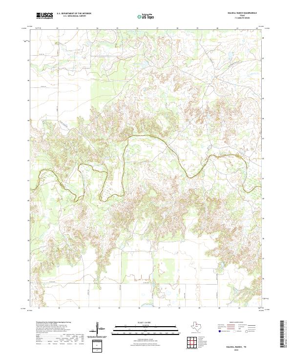
2022 Halsell Ranch
Foard County, TX
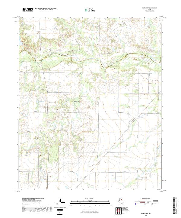
2022 Margaret
Foard County, TX
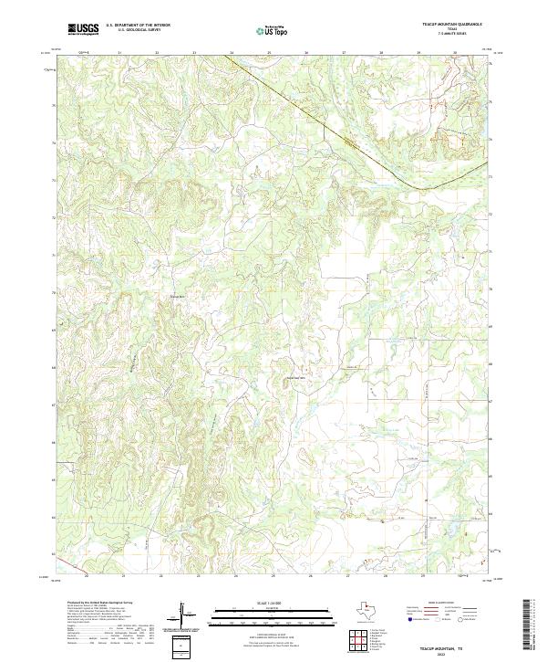
2022 Teacup Mountain
Foard County, TX
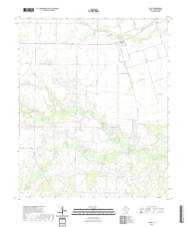
2022 Thalia
Foard County, TX
2022 Vivian
Foard County, TX
2022 Warrior Hollow
Foard County, TX