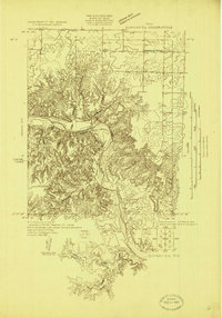
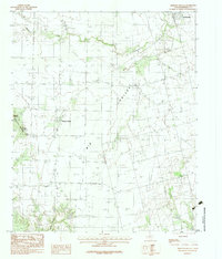
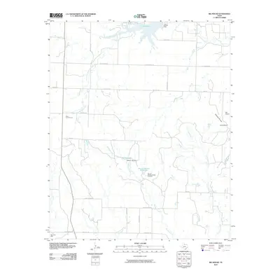
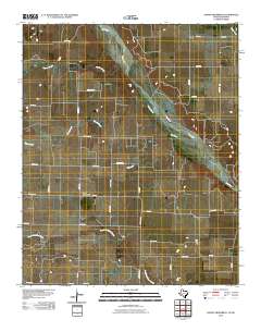
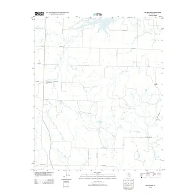
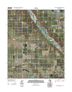
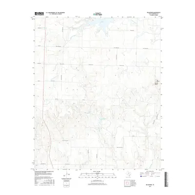
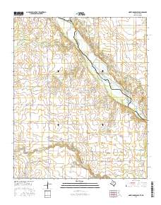
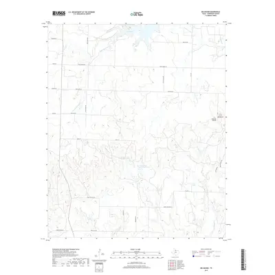
1927 Map of Quanah 3-a
USGS Topo · Published 1927About this map
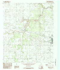
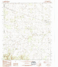
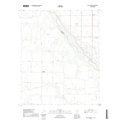
The Pease River winds through the heart of this North Texas landscape, marking a prominent boundary between Hardeman Co and Foard Co. Surveyed in the late 1920s by R.W. Burchard and S.T. Penick, this map captures the rural character of the region before modern development. Notable social infrastructure is represented by the Forestburg School, situated in the northern reaches above the river breaks. The terrain is defined by a series of deep drainages and tributary systems, including Groesbeck Creek and Cedar Creek, which feed into the main river channel. This sheet was compiled in part from early aerial photographs taken by the Air Corps of the U.S. Army, representing an era where traditional field surveying began to integrate with new photographic technologies to document the complex topographic relief of the Texas plains.
Find a feature on this map
5 named features on this map. Tap any name to fly to it.
Don’t see what you’re looking for? This feature index may not catch every label — zoom into the map to look around manually.
Map Details
Editions of this 1927 Quanah 3-a Map
This is the sole edition of this map. No revisions or reprints were ever made.
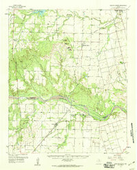
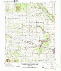
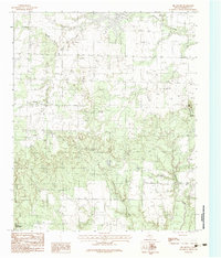
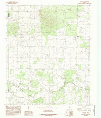
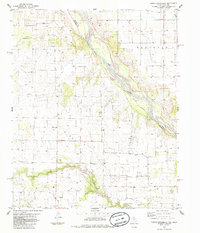
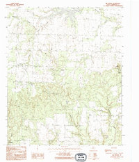
Historical Maps of Seven L Crossing Through Time
57 maps found
1927 Quanah 3-a
Hardeman County, TX
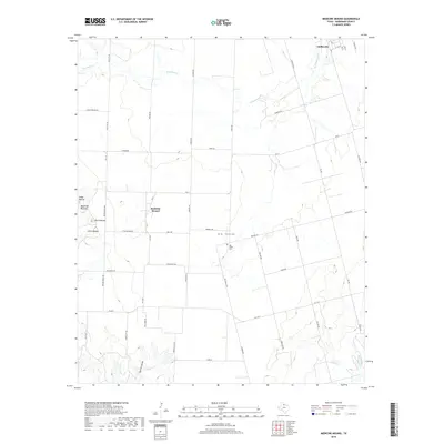
1958 Medicine Mound
Hardeman County, TX
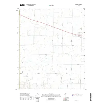
1960 Goodlett
Hardeman County, TX
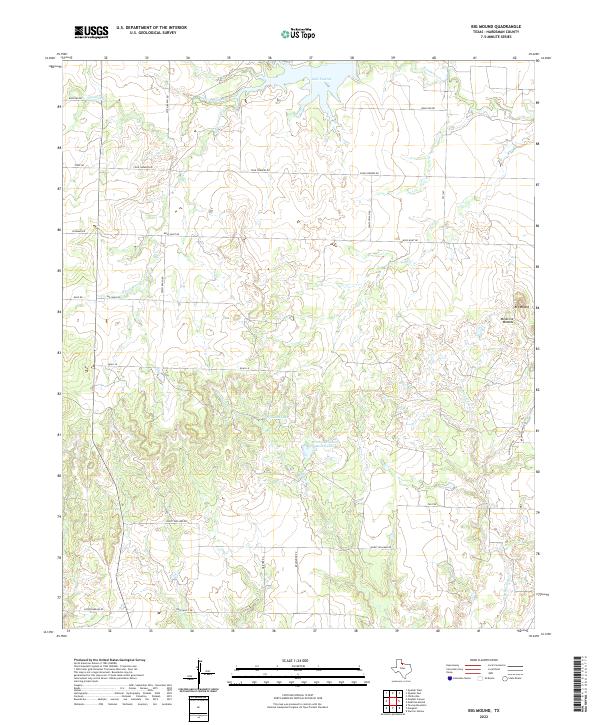
1983 Big Mound
Hardeman County, TX
1983 Medicine Mound
Hardeman County, TX
1984 Goodlett
Hardeman County, TX
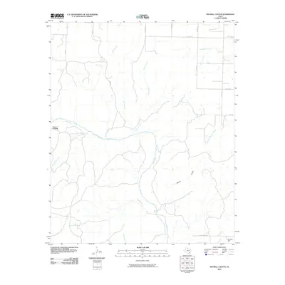
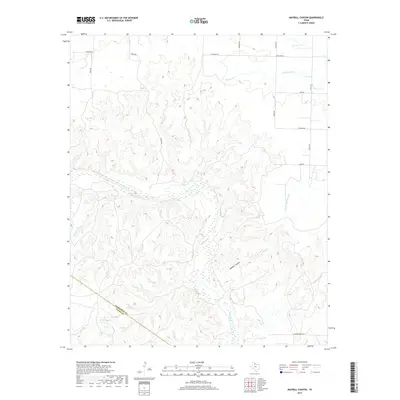
1984 Maybell Canyon
Hardeman County, TX
1984 Quanah East
Hardeman County, TX
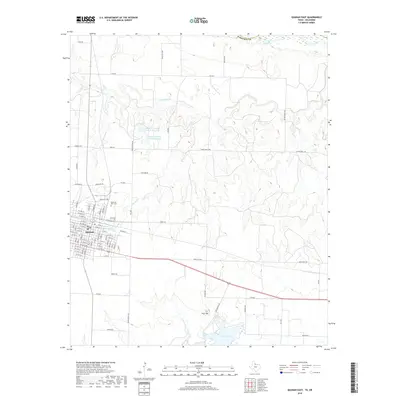
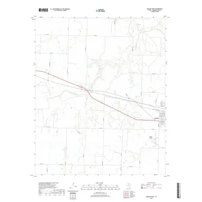
1984 Quanah West
Hardeman County, TX
1984 Willams
Hardeman County, TX
1985 North Groesbeck
Hardeman County, TX
1990 Big Mound
Hardeman County, TX
1990 Goodlett
Hardeman County, TX
1990 Maybell Canyon
Hardeman County, TX
1990 Medicine Mound
Hardeman County, TX

1990 Quanah West
Hardeman County, TX
1990 Willams
Hardeman County, TX
2010 Big Mound
Hardeman County, TX
2010 Goodlett
Hardeman County, TX
2010 Maybell Canyon
Hardeman County, TX
2010 Medicine Mound
Hardeman County, TX
2010 North Groesbeck
Hardeman County, TX
2010 Quanah East
Hardeman County, TX
2010 Quanah West
Hardeman County, TX
2010 Williams
Hardeman County, TX
2012 Big Mound
Hardeman County, TX
2012 Goodlett
Hardeman County, TX
2012 Maybell Canyon
Hardeman County, TX
2012 Medicine Mound
Hardeman County, TX
2012 North Groesbeck
Hardeman County, TX
2012 Quanah East
Hardeman County, TX
2012 Quanah West
Hardeman County, TX
2012 Williams
Hardeman County, TX
2016 Big Mound
Hardeman County, TX
2016 Goodlett
Hardeman County, TX
2016 Maybell Canyon
Hardeman County, TX
2016 Medicine Mound
Hardeman County, TX
2016 North Groesbeck
Hardeman County, TX
2016 Quanah East
Hardeman County, TX
2016 Quanah West
Hardeman County, TX
2016 Williams
Hardeman County, TX
2019 Big Mound
Hardeman County, TX
2019 Goodlett
Hardeman County, TX
2019 Maybell Canyon
Hardeman County, TX
2019 Medicine Mound
Hardeman County, TX
2019 North Groesbeck
Hardeman County, TX
2019 Quanah East
Hardeman County, TX
2019 Quanah West
Hardeman County, TX
2019 Williams
Hardeman County, TX
2022 Big Mound
Hardeman County, TX
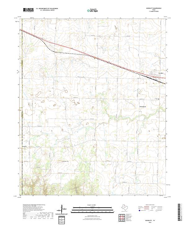
2022 Goodlett
Hardeman County, TX
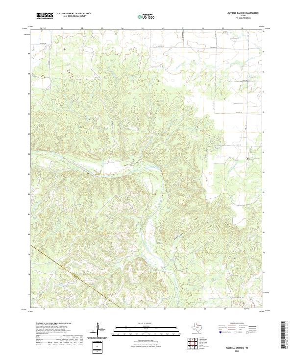
2022 Maybell Canyon
Hardeman County, TX
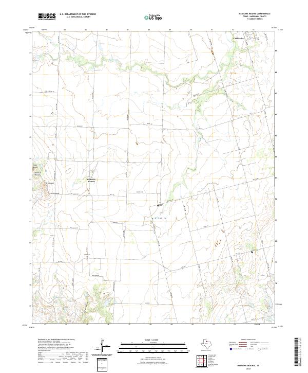
2022 Medicine Mound
Hardeman County, TX
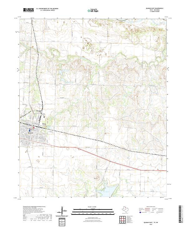
2022 Quanah East
Hardeman County, TX
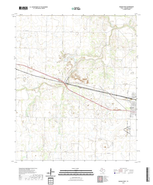
2022 Quanah West
Hardeman County, TX
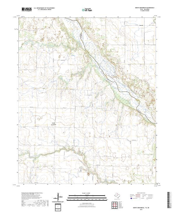
2023 North Groesbeck
Hardeman County, TX
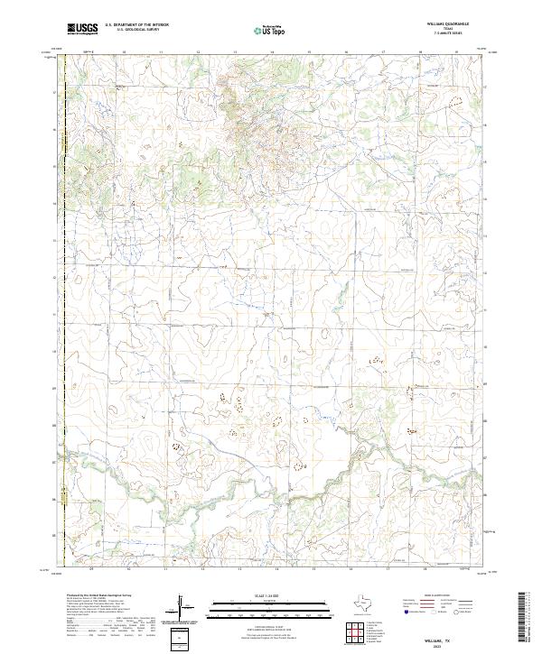
2023 Williams
Hardeman County, TX