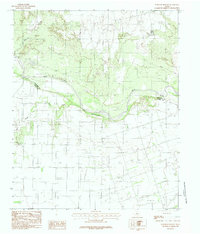
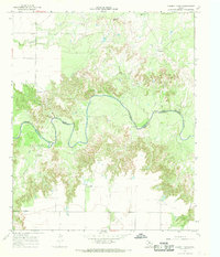
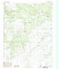
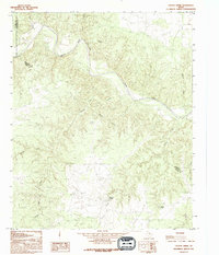
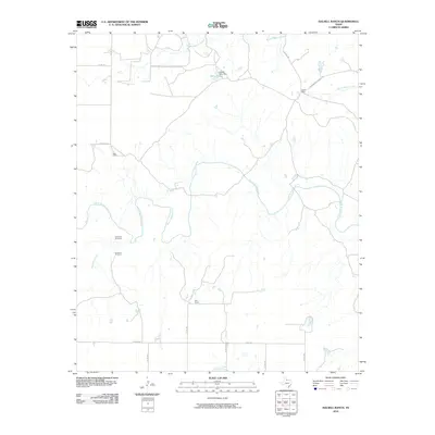
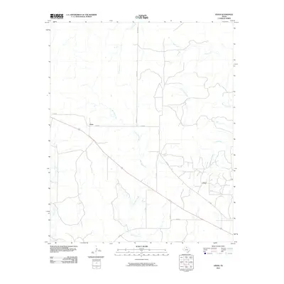
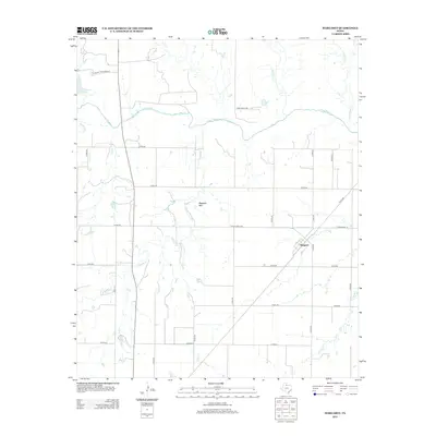
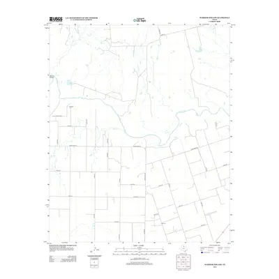
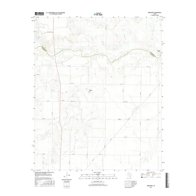
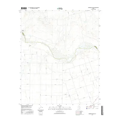
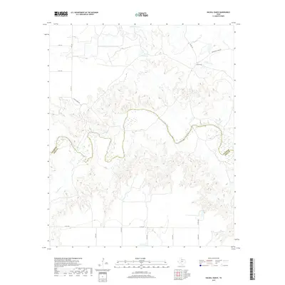
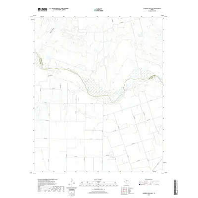
1983 Map of Warrior Hollow
USGS Topo · Published 1984About this map
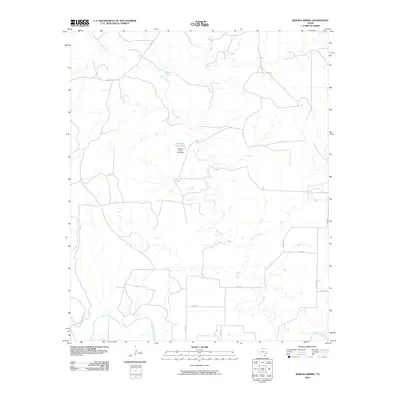
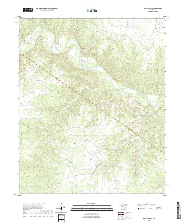
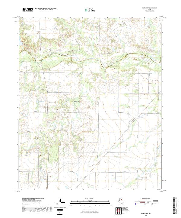
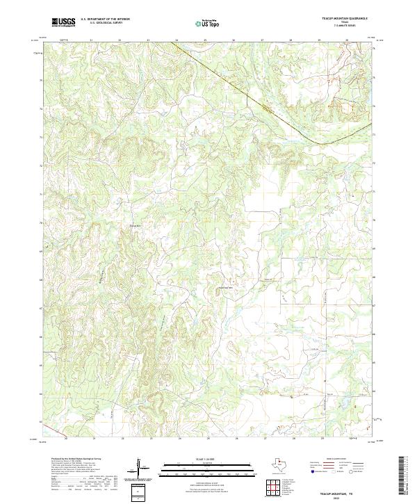
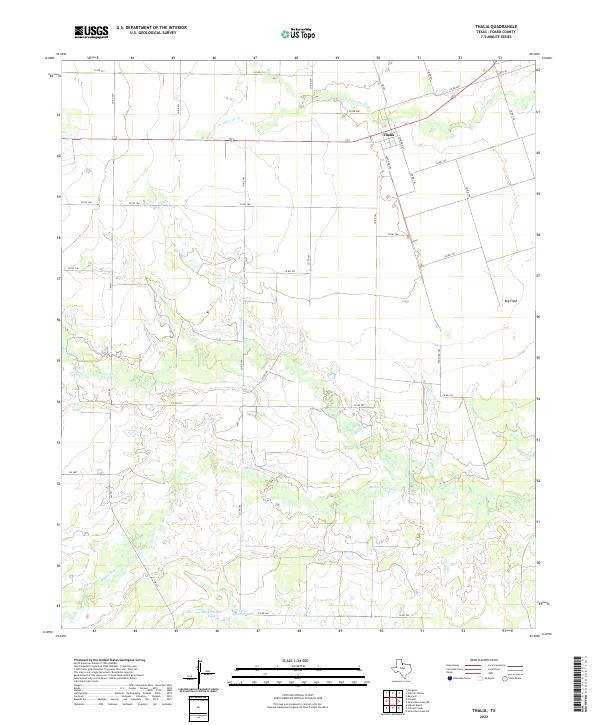
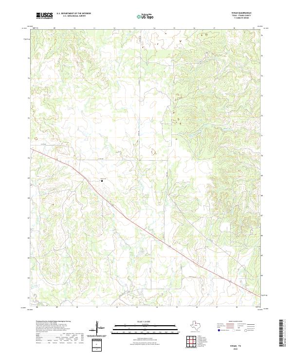
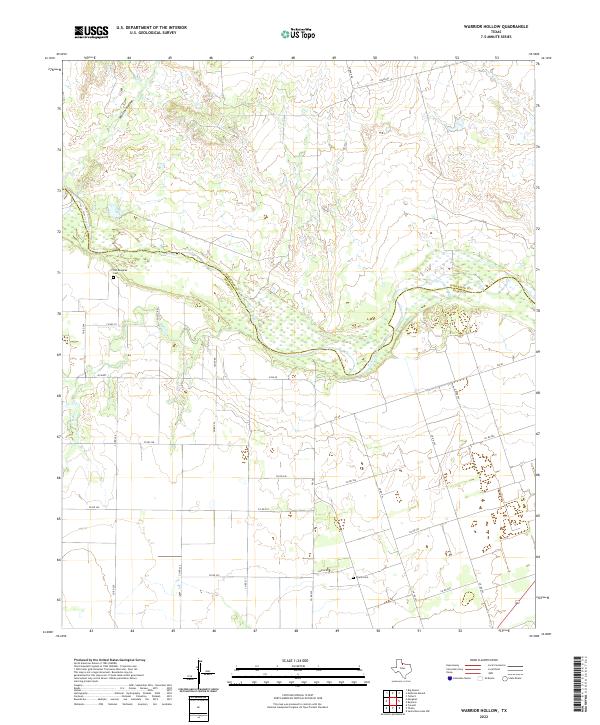
Pease River winds through this North Texas landscape, defining the boundary where Hardeman and Foard counties meet. The terrain is characterized by the prominent drainage of Warrior Hollow and the flow of Mule Creek, illustrating the complex hydrology of the region. Near the small settlement of Thalia, the map identifies localized infrastructure including an Oil Field, reflecting the industrial footprint of the early 1980s. Local history is anchored by a Historical Marker and a local Cem, providing specific points of interest for genealogists and researchers tracking family ties in the area. The map's detail shows a transition between agricultural land use and the natural breaks carved by the river system, documented just before modern digital mapping became standard.
Find a feature on this map
8 named features on this map. Tap any name to fly to it.
Don’t see what you’re looking for? This feature index may not catch every label — zoom into the map to look around manually.
Map Details
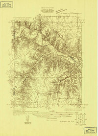
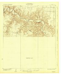
Editions of this 1983 Warrior Hollow Map
This is the sole edition of this map. No revisions or reprints were ever made.
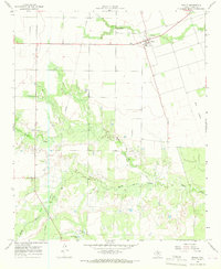
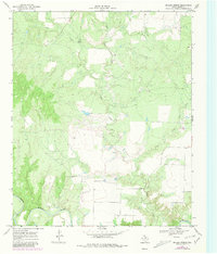
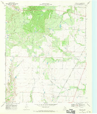
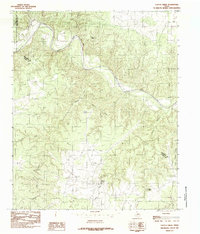
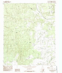
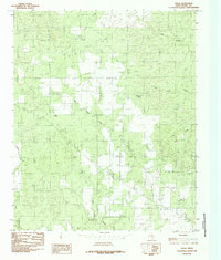
Historical Maps of Foard County Through Time
67 maps found
1927 Quanah 3-b
Foard County, TX
1932 Vivian
Foard County, TX

1960 Teacup Mountain
Foard County, TX
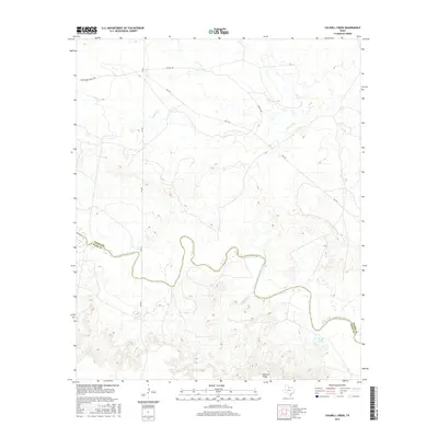
1966 Colwell Creek
Foard County, TX
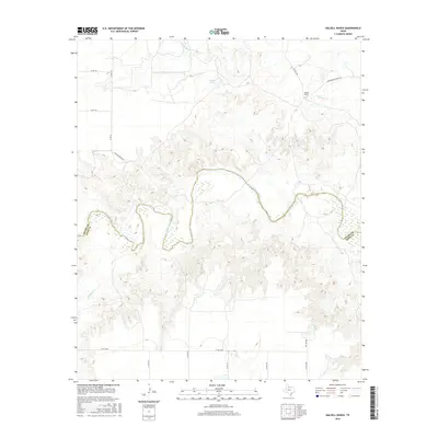
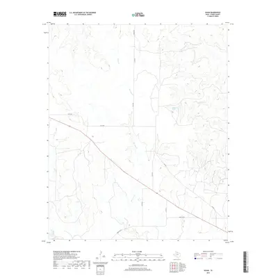
1966 Halsell Ranch
Foard County, TX
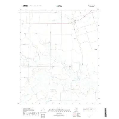
1966 Thalia
Foard County, TX
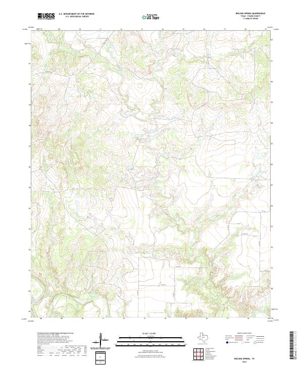
1968 Boiling Spring
Foard County, TX
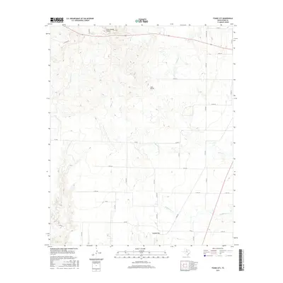
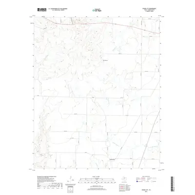
1968 Foard City
Foard County, TX
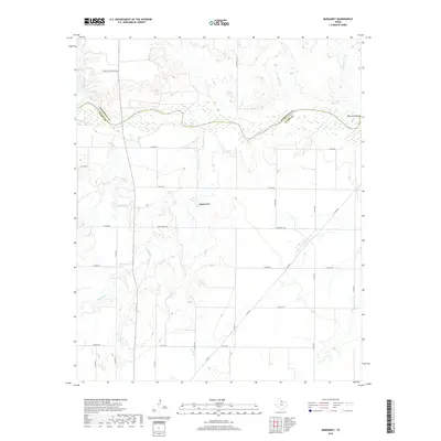
1983 Margaret
Foard County, TX
1983 Warrior Hollow
Foard County, TX
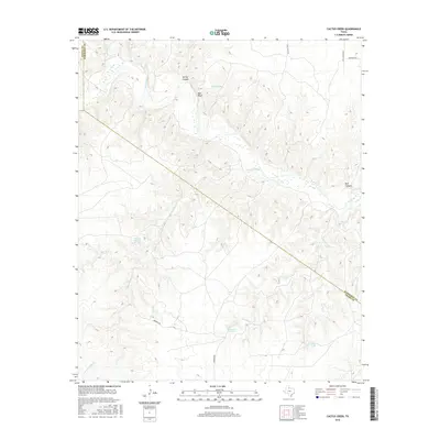
1984 Cactus Creek
Foard County, TX
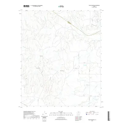
1984 Teacup Mountain
Foard County, TX
1984 Vivian
Foard County, TX
1990 Cactus Creek
Foard County, TX
1990 Margaret
Foard County, TX
1990 Teacup Mountain
Foard County, TX
1990 Vivian
Foard County, TX
2010 Boiling Spring
Foard County, TX
2010 Cactus Creek
Foard County, TX
2010 Colwell Creek
Foard County, TX
2010 Foard City
Foard County, TX
2010 Halsell Ranch
Foard County, TX
2010 Margaret
Foard County, TX
2010 Teacup Mountain
Foard County, TX
2010 Thalia
Foard County, TX
2010 Vivian
Foard County, TX
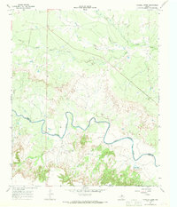
2010 Warrior Hollow
Foard County, TX
2012 Cactus Creek
Foard County, TX
2012 Foard City
Foard County, TX
2012 Margaret
Foard County, TX
2012 Teacup Mountain
Foard County, TX
2012 Thalia
Foard County, TX
2012 Vivian
Foard County, TX
2012 Warrior Hollow
Foard County, TX
2013 Boiling Spring
Foard County, TX
2013 Colwell Creek
Foard County, TX
2013 Halsell Ranch
Foard County, TX

2016 Boiling Spring
Foard County, TX
2016 Cactus Creek
Foard County, TX
2016 Colwell Creek
Foard County, TX
2016 Foard City
Foard County, TX
2016 Halsell Ranch
Foard County, TX
2016 Margaret
Foard County, TX
2016 Teacup Mountain
Foard County, TX
2016 Thalia
Foard County, TX
2016 Vivian
Foard County, TX
2016 Warrior Hollow
Foard County, TX
2019 Boiling Spring
Foard County, TX
2019 Cactus Creek
Foard County, TX
2019 Colwell Creek
Foard County, TX
2019 Foard City
Foard County, TX
2019 Halsell Ranch
Foard County, TX
2019 Margaret
Foard County, TX
2019 Teacup Mountain
Foard County, TX
2019 Thalia
Foard County, TX
2019 Vivian
Foard County, TX
2019 Warrior Hollow
Foard County, TX
2022 Boiling Spring
Foard County, TX
2022 Cactus Creek
Foard County, TX
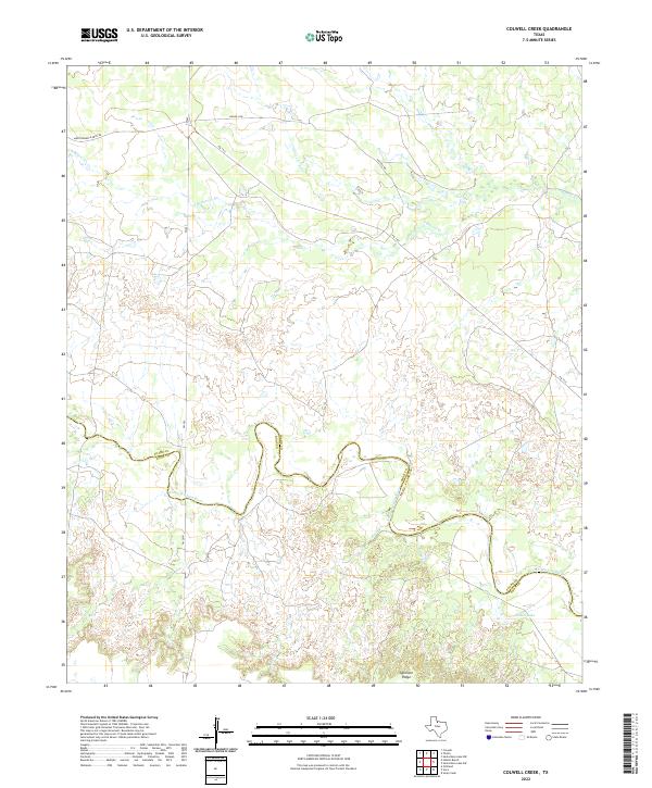
2022 Colwell Creek
Foard County, TX
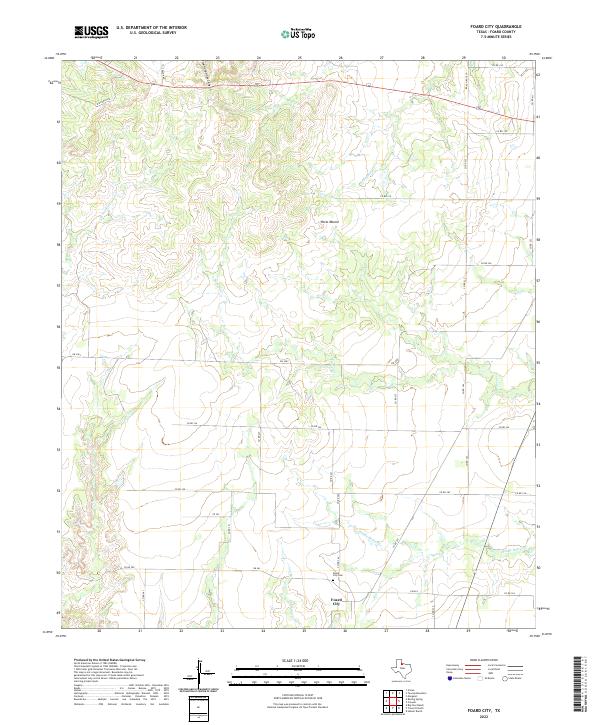
2022 Foard City
Foard County, TX
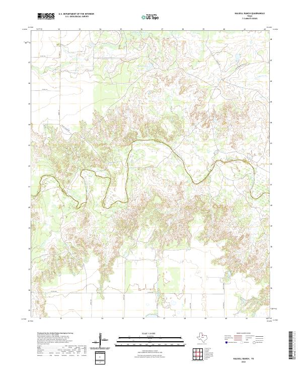
2022 Halsell Ranch
Foard County, TX
2022 Margaret
Foard County, TX
2022 Teacup Mountain
Foard County, TX
2022 Thalia
Foard County, TX
2022 Vivian
Foard County, TX
2022 Warrior Hollow
Foard County, TX