
1983 Map of Tolbert
USGS Topo · Published 1984About this map
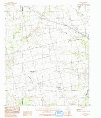
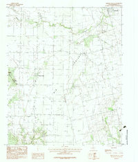
Tolbert sits along the Burlington Northern railroad in the northern Texas Panhandle, anchoring a landscape defined by its riparian drainage and agricultural layout in the early 1980s. The topography is shaped by several meandering watercourses, including Elizabeth Creek, Dan Creek, and Boggy Creek, which eventually lead toward the Pease River at the southeastern corner. To the west, the settlement of Farmers Valley is positioned near the Hardeman Co Wilbarger Co line. This survey provides a clear view of the rural infrastructure during this era, noting a small Cem near the tracks and the intricate network of secondary roads that connected isolated farmsteads across the prairie. The transition from the higher ground near Wildcat Creek to the river lowlands illustrates the natural drainage patterns that dictated early land use and transportation corridors in this part of Wilbarger County.
Find a feature on this map
10 named features on this map. Tap any name to fly to it.
Don’t see what you’re looking for? This feature index may not catch every label — zoom into the map to look around manually.
Map Details
Editions of this 1983 Tolbert Map
2 editions found
Other maps of this area

1955 · Lawton
USGS Topo · 1:250,000

1958 · Vernon
USGS Topo · 1:62,500

1958 · Medicine Mound
USGS Topo · 1:62,500

1958 · Elmer
USGS Topo · 1:62,500

1960 · Quanah
USGS Topo · 1:62,500

1983 · Warrior Hollow
USGS Topo · 1:24,000
1983 · Rayland
USGS Topo · 1:24,000
1983 · Lockett
USGS Topo · 1:24,000
1983 · Vernon
USGS Topo · 1:24,000
1983 · Medicine Mound
USGS Topo · 1:24,000