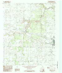
1984 Map of Quanah West
USGS Topo · Published 1985About this map
Quanah serves as the primary hub in this West Texas landscape, where the confluence of rail and water shaped early development. The Burlington Northern Railroad cuts through the territory, passing the industrial pocket of Acme as it follows the general path of the local drainage systems. The map captures the meeting of North Groesbeck Creek, South Groesbeck Creek, and the main stem of Groesbeck Creek, illustrating the vital role of these waterways in an arid ranching and farming region.
Find a feature on this map
12 named features on this map. Tap any name to fly to it.
Don’t see what you’re looking for? This feature index may not catch every label — zoom into the map to look around manually.
Map Details
Editions of this 1984 Quanah West Map
This is the sole edition of this map. No revisions or reprints were ever made.
Other maps of this area

1927 · Quanah 3-a
USGS Topo · 1:48,000

1927 · Quanah 3-b
USGS Topo · 1:48,000

1932 · Vivian
USGS Topo · 1:62,500

1955 · Lawton
USGS Topo · 1:250,000

1958 · Medicine Mound
USGS Topo · 1:62,500

1960 · Goodlett
USGS Topo · 1:62,500

1960 · Teacup Mountain
USGS Topo · 1:62,500

1960 · Quanah
USGS Topo · 1:62,500

1975 · Quanah NW
USGS Topo · 1:24,000

1983 · Big Mound
USGS Topo · 1:24,000