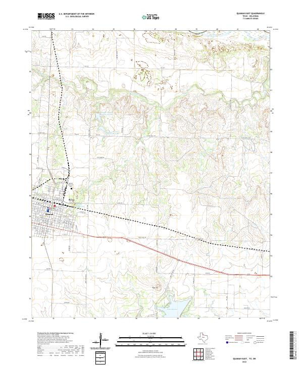
2022 Map of Quanah East
USGS Topo · Published 2022About this map
Quanah serves as the focal point of this Hardeman County landscape, where the street grid of the town meets the rolling drainages that feed into the Red River. The Hardeman County Courthouse and Quanah Memorial Park anchor the town center, while a network of rural roads like FM 2533 and FM 2640 reach out into the surrounding ranchland. Water management is a defining characteristic of the area, visible through the City of Quanah Lake, the recreational waters of Quanah Country Club North Lake, and the larger Lake Pauline to the southeast. To the north, the terrain is shaped by Groesbeck Cr and Spring Cr, which carve through the plains toward the Oklahoma border. Notable topographical features like Flat Top offer distinct landmarks in a region defined by its agricultural and water-resource history.
Find a feature on this map
88 named features on this map. Tap any name to fly to it.
Don’t see what you’re looking for? This feature index may not catch every label — zoom into the map to look around manually.
Map Details
Editions of this 2022 Quanah East Map
This is the sole edition of this map. No revisions or reprints were ever made.
Other maps of this area

1927 · Quanah 3-a
USGS Topo · 1:48,000

1932 · Vivian
USGS Topo · 1:62,500

1955 · Lawton
USGS Topo · 1:250,000

1958 · Medicine Mound
USGS Topo · 1:62,500

1960 · Goodlett
USGS Topo · 1:62,500

1960 · Teacup Mountain
USGS Topo · 1:62,500

1960 · Quanah
USGS Topo · 1:62,500

1975 · Quanah NE
USGS Topo · 1:24,000

1975 · Quanah NW
USGS Topo · 1:24,000

1983 · Big Mound
USGS Topo · 1:24,000