Old Maps of Medicine Mound, Texas for Academic Research
Study the evolution of Medicine Mound with 10 high-resolution historic maps. Whether you're teaching, researching, or modeling changes in land use, these maps provide essential visual documentation of urban, environmental, and geographic change.
- Analyze long-term change: Track patterns in development, transportation, and natural features.
- Ideal for environmental or urban studies: Support academic projects with primary historical map data.
- Use in the classroom or lab: Educators and researchers rely on these maps to bring historical context to life.
These maps are a powerful tool for teaching, research, and visualizing how Medicine Mound has changed over the decades.
Medicine Mound, TX maps
(10)- 1955 Map of Lawton, 1958 Print
 1955 Lawton1958 Print · USGSSouthwestern Oklahoma and North Texas are shown here in the mid-fifties, dominated by the Wichita Mountains and the vital Red River watershed. Genealogists and historians can trace the foundations of Lawton alongside rural landmarks like Rainy Mountain Church and Pleasant Hill School.5 unique versions available
 - 1958 Map of Medicine Mound, 1959 Print
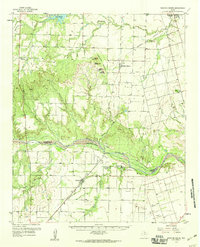 1958 Medicine Mound1959 Print · USGSHardeman and Foard Counties are shown here in the late fifties, defined by the winding Pease River and the iconic Medicine Mounds. Researchers can locate the Pease River Battlefield, the town of Margaret, and the Panhandle and Santa Fe rail line.
 - 1983 Map of Medicine Mound, 1984 Print
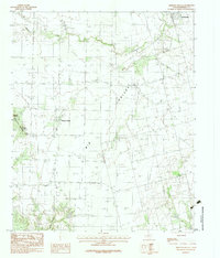 1983 Medicine Mound1984 Print · USGSHardeman County, Texas, was characterized by its cattle-ranching landscape and distinctive geological rises in the early eighties. Genealogists and historians can trace the roads around Medicine Mound, the streets of Chillicothe, and landmarks like Cedar Mound.
 - 1986 Map of Vernon
 1986 Vernon1986 Print · USGSNorth Texas and Southern Oklahoma meet along the river in the mid-1980s, revealing a landscape defined by ranching, oil production, and rail transport. Researchers can locate distinct landmarks such as Medicine Mound, the Conley Oil Field, and the community of Punkin Center.
 - 1990 Map of Medicine Mound, 1995 Print
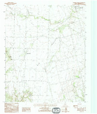 1990 Medicine Mound1995 Print · USGSHardeman County in the early nineties shows a landscape of traditional ranching punctuated by modern utility infrastructure. Trace the notable peaks of Medicine Mounds and Cedar Mound, or locate the rural Cem and the settlement at Chillicothe.
 - 2010 Map of Medicine Mound, 2010 Print
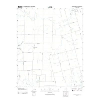
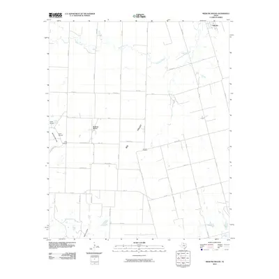 2010 Medicine Mound2010 Print · USGSCovers Medicine Mound, including Chillicothe, Hardeman County, and other nearby areas
 - 2012 Map of Medicine Mound, 2012 Print
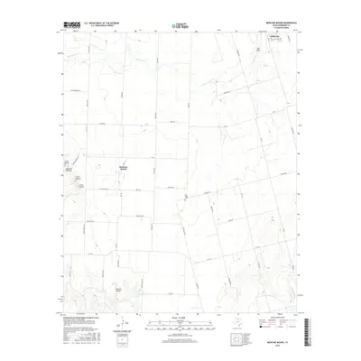
 2012 Medicine Mound2012 Print · USGSCovers Medicine Mound, including Chillicothe, Hardeman County, and other nearby areas
 - 2016 Map of Medicine Mound, 2016 Print
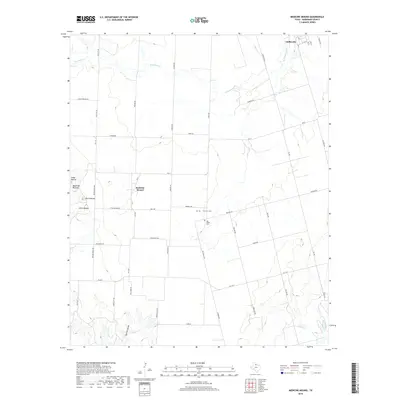
 2016 Medicine Mound2016 Print · USGSCovers Medicine Mound, including Chillicothe, Hardeman County, and other nearby areas
 - 2019 Map of Medicine Mound, 2019 Print
 2019 Medicine Mound2019 Print · USGSCovers Medicine Mound, including Chillicothe, Hardeman County, and other nearby areas
 - 2022 Map of Medicine Mound, 2022 Print
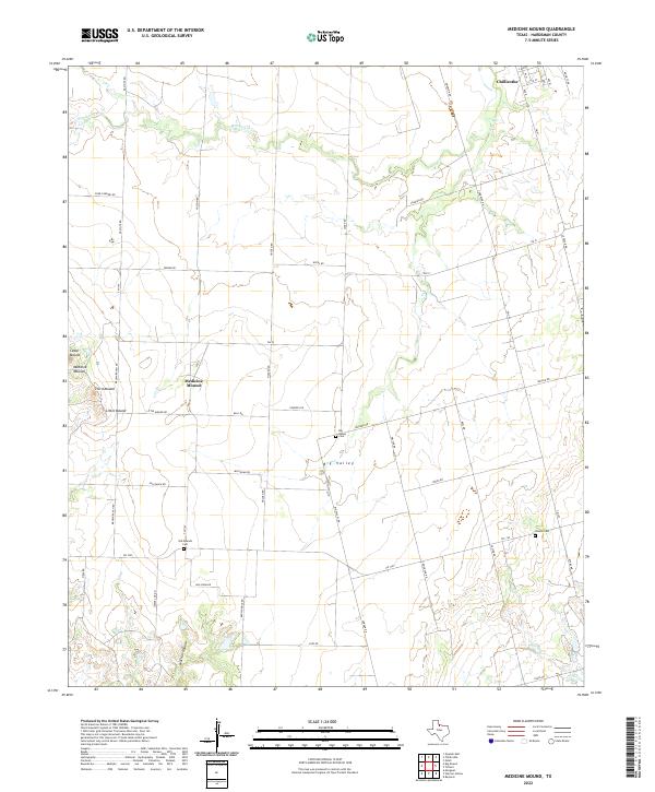 2022 Medicine Mound2022 Print · USGSHardeman County's agricultural heartland is captured here in the early twenty-first century, showing the rural landscape around the distinctive Medicine Mounds. Genealogists and historians can locate family-named landmarks and quiet burial sites like Old Mounds Cem and Big Valley Cem.
End of results
Showing maps 1-10 of 10
Top cities near Medicine Mound
Frequently asked questions
- What are the different types of historical maps available for Medicine Mound?
- What is the oldest map of Medicine Mound?
- Where can I purchase historical maps of Medicine Mound for my home or office?
- Where can I download high-res historical maps of Medicine Mound?
- Are there historical topographic maps available for Medicine Mound?
- Is there historical aerial imagery available for Medicine Mound?
- Where are historical maps of Medicine Mound sourced from?