Old Maps of Goose Creek Reserve, Baytown for Hiking & Exploration
Hike through history with 20 historic maps of Goose Creek Reserve. Explore old trails, ghost towns, and forgotten backroads — perfect for outdoor adventurers and local explorers.
- Rediscover forgotten places: Map out old mining camps, roads, and footpaths that no longer exist on modern maps.
- Layer with modern tools: Combine with LiDAR or satellite views to plan hikes through historical terrain.
- Made for exploration: Popular among hikers, overlanders, and local history lovers.
Use these maps to find adventure and explore the hidden past of Goose Creek Reserve.
Goose Creek Reserve, Baytown maps
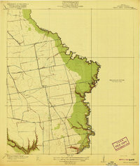
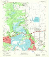
(20)- 1916 Map of Burnett Bay
 1916 Burnett Bay1916 Print · USGSCovers Goose Creek Reserve, including Houston, Baytown, and other nearby areas
 - 1916 Map of Cedar Bayou
 1916 Cedar Bayou1916 Print · USGSCovers Goose Creek Reserve, including Baytown, Mont Belvieu, and other nearby areas
 - 1919 Map of Cedar Bayou
 1919 Cedar Bayou1919 Print · USGSCovers Goose Creek Reserve, including Baytown, Mont Belvieu, and other nearby areas2 unique versions available
 - 1920 Map of Highlands
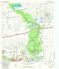
 1920 Highlands1920 Print · USGSCovers Goose Creek Reserve, including Houston, Baytown, and other nearby areas4 unique versions available
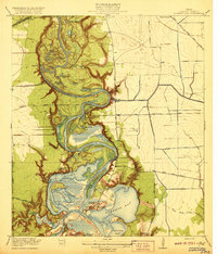
 - 1943 Map of Cedar Bayou, 1960 Print
 1943 Cedar Bayou1960 Print · USGSCovers Goose Creek Reserve, including Baytown, Mont Belvieu, and other nearby areas
 - 1944 Map of Burnett Bay
 1944 Burnett Bay1944 Print · USGSCovers Goose Creek Reserve, including Houston, Baytown, and other nearby areas
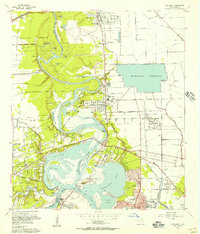
 - 1950 Map of Houston, 1953 Print
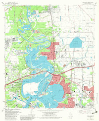
 1950 Houston1953 Print · USGSCovers Goose Creek Reserve, including Houston, Pasadena, and other nearby areas
 - 1955 Map of Highlands, 1956 Print
 1955 Highlands1956 Print · USGSCovers Goose Creek Reserve, including Houston, Baytown, and other nearby areas
 - 1956 Map of Houston, 1963 Print
 1956 Houston1963 Print · USGSCovers Goose Creek Reserve, including Houston, Pasadena, and other nearby areas2 unique versions available
 - 1961 Map of Mont Belvieu, 1964 Print
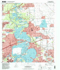
 1961 Mont Belvieu1964 Print · USGSCovers Goose Creek Reserve, including Baytown, Mont Belvieu, and other nearby areas2 unique versions available
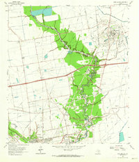
 - 1967 Map of Highlands, 1969 Print
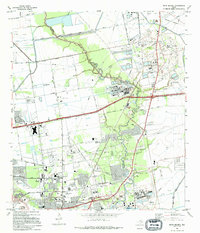
 1967 Highlands1969 Print · USGSCovers Goose Creek Reserve, including Houston, Baytown, and other nearby areas
 - 1975 Map of Houston, 1977 Print
 1975 Houston1977 Print · USGSCovers Goose Creek Reserve, including Houston, Pasadena, and other nearby areas2 unique versions available
 - 1982 Map of Mont Belvieu
 1982 Mont Belvieu1982 Print · USGSCovers Goose Creek Reserve, including Baytown, Mont Belvieu, and other nearby areas
 - 1982 Map of Highlands, 1983 Print
 1982 Highlands1983 Print · USGSCovers Goose Creek Reserve, including Houston, Baytown, and other nearby areas2 unique versions available
 - 1983 Map of Anahuac
 1983 Anahuac1983 Print · USGSCovers Goose Creek Reserve, including Pasadena, Beaumont, and other nearby areas2 unique versions available
 - 1992 Map of Houston
 1992 Houston1992 Print · USGSCovers Goose Creek Reserve, including Houston, Pasadena, and other nearby areas
 - 1994 Map of Mont Belvieu
 1994 Mont Belvieu1994 Print · USGSCovers Goose Creek Reserve, including Baytown, Mont Belvieu, and other nearby areas
 - 1995 Map of Highlands, 1998 Print
 1995 Highlands1998 Print · USGSCovers Goose Creek Reserve, including Houston, Baytown, and other nearby areas
 - 2022 Map of Mont Belvieu, 2022 Print
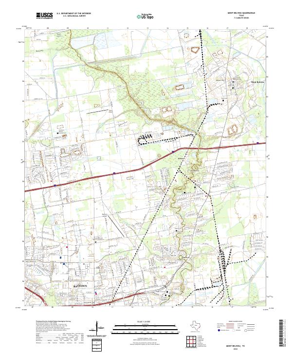 2022 Mont Belvieu2022 Print · USGSCovers Goose Creek Reserve, including Baytown, Mont Belvieu, and other nearby areas
 - 2022 Map of Highlands, 2022 Print
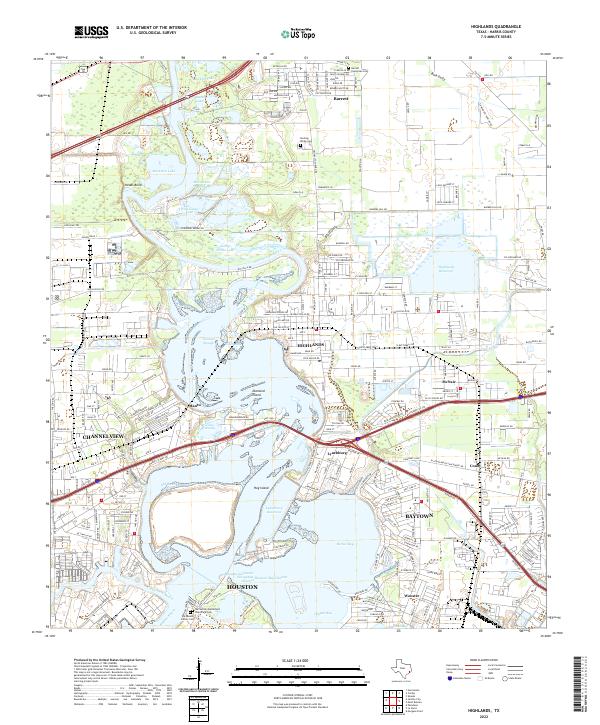 2022 Highlands2022 Print · USGSCovers Goose Creek Reserve, including Houston, Baytown, and other nearby areas
End of results
Showing maps 1-20 of 20
Frequently asked questions
- What are the different types of historical maps available for Goose Creek Reserve?
- What is the oldest map of Goose Creek Reserve?
- Where can I purchase historical maps of Goose Creek Reserve for my home or office?
- Where can I download high-res historical maps of Goose Creek Reserve?
- Are there historical topographic maps available for Goose Creek Reserve?
- Is there historical aerial imagery available for Goose Creek Reserve?
- Where are historical maps of Goose Creek Reserve sourced from?