Old Maps of Champions Point Village, Texas
Explore 26 old maps of Champions Point Village, spanning from 1916 to today. These high-resolution historic maps reveal how streets, neighborhoods, landmarks, and natural features evolved over time — perfect for genealogy, metal detecting, research, and local history exploration.
What you can do with these maps:
- See how Champions Point Village changed over time: Compare historical maps to modern-day views to trace roads, homesites, rail lines & more.
- View detailed metadata: Each map includes creators, publishers, year, scale, and archive source.
- Overlay maps with satellite & LiDAR: Visualize the past alongside modern tools to explore terrain & human change.
- Trusted historical sources: Maps sourced from the USGS, Library of Congress, and other archives.
- Access maps your way: View online, download high-res files, or order prints for personal or research use.
Start exploring old maps of Champions Point Village to uncover forgotten places, hidden landmarks, and the deep history beneath your feet.
Champions Point Village, TX maps
(26)- 1916 Map of Aldine
 1916 Aldine1916 Print · USGSCoastal prairie life in Harris County comes into focus as the railway network expanded north of Houston. Genealogists and researchers can trace the early footprint of Aldine and find the location of the Hargrove School near Greens Bayou.2 unique versions available
 - 1916 Map of Satsuma
 1916 Satsuma1916 Print · USGSHarris County is captured here in the years before rapid urban expansion, when timber and rail still dictated the pace of life. Trace the roots of local families near the Fuchs School or locate early industrial sites like Christy Sawmill and the Satsuma station.3 unique versions available
 - 1919 Map of Aldine
 1919 Aldine1919 Print · USGSCoastal prairie and early rail infrastructure define this Harris County landscape during the late nineteen-teens. Researchers can trace ancestral property near Aldine, locate the rural Hargrove School, and follow the original routes of Kuyendahl Road.3 unique versions available
 - 1920 Map of Satsuma
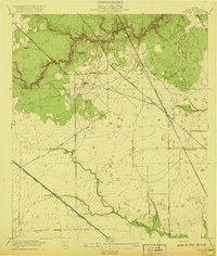 1920 Satsuma1920 Print · USGSHarris County is captured here just after the Great War, showing a landscape defined by timber mills and early rail lines. Genealogists can locate Fuchs School and family-operated sites like Christy Sawmill or Anderson Sawmill.2 unique versions available
 - 1950 Map of Houston, 1953 Print
 1950 Houston1953 Print · USGSCoastal Texas in the early fifties reveals a landscape of massive civil engineering and industrial transit. Genealogists and researchers can trace the growth of the Houston suburbs and the maritime infrastructure of Galveston Bay, including the Gulf Freeway and the Texas City Dike.
 - 1954 Map of Aldine, 1956 Print
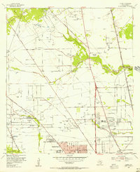 1954 Aldine1956 Print · USGSNorth of Houston in the mid-fifties, this area shows a landscape of bayous and oil wells transitioning toward suburban life. Researchers can locate early landmarks like Gulf Coast Airport, St Peters Ch, and schools such as Inez Carroll Grade Sch.
 - 1955 Map of Addicks, 1957 Print
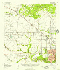 1955 Addicks1957 Print · USGSHarris County undergoes rapid transformation in the mid-fifties as Houston's city boundary pushes west. Trace family history and early industry through the Satsuma Oil Field, Addicks Dam, and Roeder Cem.
 - 1956 Map of Houston, 1963 Print
 1956 Houston1963 Print · USGSSoutheast Texas in the mid-fifties is captured here as a powerhouse of oil and maritime trade. Genealogists and historians can trace the foundations of Houston and its ports, alongside landmarks like the Rice Institute and the Spindletop Oil Field.2 unique versions available
 - 1967 Map of Aldine
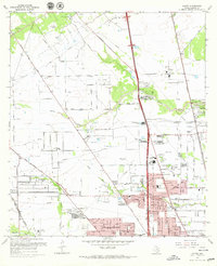 1967 Aldine1967 Print · USGSNorth Harris County was entering a period of rapid development in the 1960s, balancing its petroleum roots with new residential neighborhoods. Genealogists and local historians can trace family sites like Paradise Cem, the Veterans Administration Cemetery, and old schools including Caroll Sch.3 unique versions available
 - 1970 Map of Satsuma, 1973 Print
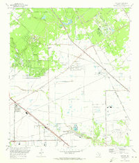 1970 Satsuma1973 Print · USGSHarris County is seen during a period of suburban expansion and industrial growth in the early seventies. Genealogists and historians can trace the foundations of Jersey Village and Satsuma alongside old landmarks like Perry Cem and Matzke Sch.
 - 1975 Map of Houston, 1977 Print
 1975 Houston1977 Print · USGSThe Texas Gulf Coast in the mid-seventies shows a sprawling Houston metropolis linked to the sea by the massive Houston Ship Channel. Researchers can trace the mid-century industrial landscape from the Astrodome to the Lyndon B. Johnson Space Center.2 unique versions available
 - 1982 Map of Satsuma
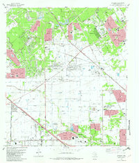 1982 Satsuma1982 Print · USGSNorthwest Harris County is seen during its rapid early 1980s expansion, as new subdivisions began to surround established rural landmarks. Genealogists can locate family sites like Dowdell Cem and Perry Cem among developments like Jersey Village.2 unique versions available
 - 1982 Map of Aldine, 1983 Print
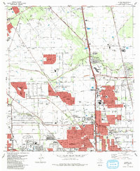 1982 Aldine1983 Print · USGSNorthern Harris County during the early eighties showcases a landscape transitioning from the Bammel Oil and Gas Field to dense suburban growth. Genealogists can locate the Houston National Cemetery and Paradise Cemetery near the expanding Aldine community.2 unique versions available
 - 1992 Map of Houston
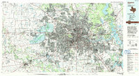 1992 Houston1992 Print · USGSThe Houston metropolitan area reached its modern sprawl in the early nineties, centered on the Buffalo Bayou and a massive regional rail network. Genealogists and historians can trace the development of satellite cities like Sugar Land and Pasadena, or locate legacy sites like the Humble Oil Field and the NASA Lyndon B Johnson Space Center.
 - 1995 Map of Aldine, 1999 Print
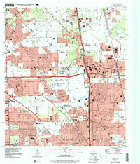 1995 Aldine1999 Print · USGSAldine and the surrounding Harris County suburbs are shown in the mid-1990s, where energy production and residential growth converge. Researchers can trace family history at Houston National Cemetery or locate local landmarks like the Greenspoint Mall and Aldine High Sch.
 - 1995 Map of Satsuma, 2000 Print
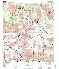 1995 Satsuma2000 Print · USGSNorthwest Harris County shows its late-century transition from open land to suburban density in this mid-nineties survey. Researchers can trace established neighborhoods near Jersey Village and locate community landmarks like Perry Cem, Satsuma Chapel, and the Sam Houston Racepark.
 - 2010 Map of Satsuma, 2010 Print
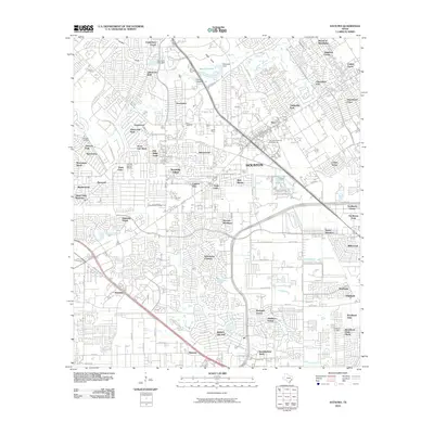 2010 Satsuma2010 Print · USGSSatsuma and Jersey Village appear in the early 2000s as a complex network of suburban developments and drainage bayous. Genealogists and local historians can locate Dowdell Cemetery, Perry Cemetery, and the Fairbanks Oil Field amidst the growing neighborhoods.
 - 2010 Map of Aldine, 2010 Print
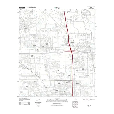 2010 Aldine2010 Print · USGSHouston’s northern suburbs and the community of Aldine appear in extensive detail during the early twenty-first century. Researchers can locate established neighborhoods like Glen Forest and several historic burial grounds, including Paradise Cemetery.
 - 2013 Map of Satsuma, 2013 Print
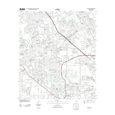 2013 Satsuma2013 Print · USGSNorthwest Harris County comes into focus in the early twenty-first century as a landscape of established suburbs and winding bayous. Researchers can locate family landmarks like Dowdell Cem, Shiloh Church, and the Fairbanks Oil Field amidst dozens of named residential forests.
 - 2013 Map of Aldine, 2013 Print
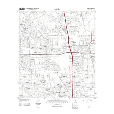 2013 Aldine2013 Print · USGSNorth Houston in the early 2010s shows a landscape of dense residential growth interspersed with bayous and significant memorial sites. Researchers can trace local heritage through Houston National Cem, Lincoln City, and the winding course of Greens Bayou.
 - 2016 Map of Aldine, 2016 Print
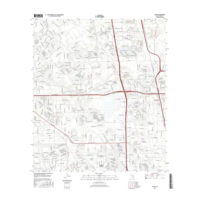 2016 Aldine2016 Print · USGSNorthern Harris County comes into focus in this mid-2010s survey, showing the expansion of Houston's suburban north side. Genealogists and local historians can trace legacy sites like Paradise Cem, Aldine, and the Saint Joseph Cem near Halls Bayou.
 - 2016 Map of Satsuma, 2016 Print
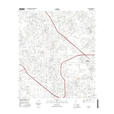 2016 Satsuma2016 Print · USGSNorthwest Houston was a landscape of rapid suburban growth and intricate bayou systems by the mid-2010s. Researchers can trace local heritage through landmarks like Perry Cem, the community of Satsuma, and the waters of Jersey Lake.
 - 2019 Map of Satsuma, 2019 Print
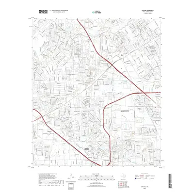 2019 Satsuma2019 Print · USGSNorthwest of Houston during the late 2010s, this area shows a dense network of suburban neighborhoods along the Whiteoak Bayou. Genealogists and historians can trace local landmarks like Jersey Village, Satsuma, and the historic Perry Cem.
 - 2019 Map of Aldine, 2019 Print
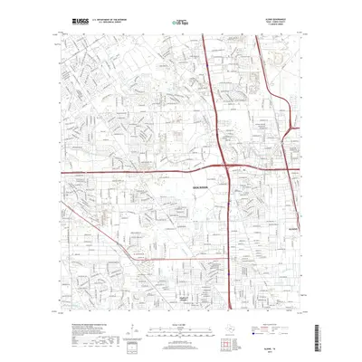 2019 Aldine2019 Print · USGSNorth Houston and the community of Aldine are shown here during their 21st-century growth within the Harris County urban sprawl. Researchers can locate established neighborhoods like Highland Heights and several local landmarks including Saint Joseph Cem and Cem Beautiful.
 - 2022 Map of Satsuma, 2022 Print
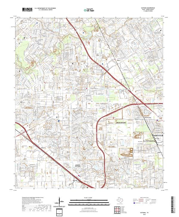 2022 Satsuma2022 Print · USGSNorthwest of the city center in the early 2020s, this area shows the complex suburban sprawl and industrial corridors of Jersey Village and Satsuma. Researchers can trace local heritage through several small burial grounds like Perry Cem and Dowdell Cem or identify the growth of regional institutions like Lone Star College University Park.
Showing maps 1-25 of 26
Frequently asked questions
- What are the different types of historical maps available for Champions Point Village?
- What is the oldest map of Champions Point Village?
- Where can I purchase historical maps of Champions Point Village for my home or office?
- Where can I download high-res historical maps of Champions Point Village?
- Are there historical topographic maps available for Champions Point Village?
- Is there historical aerial imagery available for Champions Point Village?
- Where are historical maps of Champions Point Village sourced from?