Old Maps of University Green, Houston for Hiking & Exploration
Hike through history with 15 historic maps of University Green. Explore old trails, ghost towns, and forgotten backroads — perfect for outdoor adventurers and local explorers.
- Rediscover forgotten places: Map out old mining camps, roads, and footpaths that no longer exist on modern maps.
- Layer with modern tools: Combine with LiDAR or satellite views to plan hikes through historical terrain.
- Made for exploration: Popular among hikers, overlanders, and local history lovers.
Use these maps to find adventure and explore the hidden past of University Green.
University Green, Houston maps
(15)- 1916 Map of Seabrook
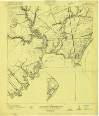 1916 Seabrook1916 Print · USGSThe Galveston Bay shoreline comes to life in the years before heavy industrialization, showing the early coastal developments of Seabrook and Bayview. Genealogists can trace the Old Middle Bayou School and early rail lines like the Galveston Houston Electric Ry.2 unique versions available
 - 1920 Map of Seabrook
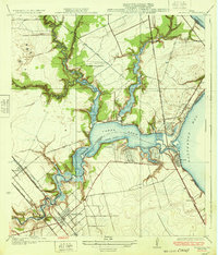
 1920 Seabrook1920 Print · USGSCoastal Harris County near the end of the Great War was a network of bayous and new rail lines. Genealogists and local historians can locate early landmarks like the Old Middle Bayou School, the Clear Lake Inn, and the transit hub at Webster.
 - 1932 Map of Seabrook
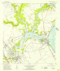
 1932 Seabrook1932 Print · USGSThe Texas coastline between Houston and Galveston appears here in the early thirties, showcasing the growth of bayside communities. Genealogists and local historians can trace the early footprints of Seabrook, Kemah, and League City, or locate the Old Middle Bayou School and the Clear Lake Inn.3 unique versions available
 - 1950 Map of Houston, 1953 Print
 1950 Houston1953 Print · USGSCoastal Texas in the early fifties reveals a landscape of massive civil engineering and industrial transit. Genealogists and researchers can trace the growth of the Houston suburbs and the maritime infrastructure of Galveston Bay, including the Gulf Freeway and the Texas City Dike.
 - 1955 Map of League City, 1957 Print
 1955 League City1957 Print · USGSCoastal Texas near the mid-fifties reveals a landscape of tidal bayous and emerging industry. Trace the early layouts of League City and Seabrook, and locate features like the Fairview Cem, Clear Lake Oil Field, and the Harris County Boys Sch.3 unique versions available
 - 1956 Map of Houston, 1963 Print
 1956 Houston1963 Print · USGSSoutheast Texas in the mid-fifties is captured here as a powerhouse of oil and maritime trade. Genealogists and historians can trace the foundations of Houston and its ports, alongside landmarks like the Rice Institute and the Spindletop Oil Field.2 unique versions available
 - 1975 Map of Houston, 1977 Print
 1975 Houston1977 Print · USGSThe Texas Gulf Coast in the mid-seventies shows a sprawling Houston metropolis linked to the sea by the massive Houston Ship Channel. Researchers can trace the mid-century industrial landscape from the Astrodome to the Lyndon B. Johnson Space Center.2 unique versions available
 - 1982 Map of League City
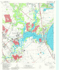 1982 League City1982 Print · USGSThe coastal corridor south of Houston was a hub of aerospace innovation and maritime industry in the early eighties. Researchers can locate the NASA Space Center, the Houston Gulf Airport, and local landmarks like Fairview Cem or the Southern Pacific tracks.3 unique versions available
 - 1992 Map of Houston
 1992 Houston1992 Print · USGSThe Houston metropolitan area reached its modern sprawl in the early nineties, centered on the Buffalo Bayou and a massive regional rail network. Genealogists and historians can trace the development of satellite cities like Sugar Land and Pasadena, or locate legacy sites like the Humble Oil Field and the NASA Lyndon B Johnson Space Center.
 - 1995 Map of League City, 1998 Print
 1995 League City1998 Print · USGSCoastal Harris and Galveston Counties in the mid-nineties show the meeting point of space-age industry and bayside living. Genealogists and historians can trace the growth of League City and find local landmarks like Fairview Cem and the Houston Gulf Airport.
 - 2010 Map of League City, 2010 Print
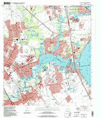
 2010 League City2010 Print · USGSCovers University Green, including Houston, Pasadena, and other nearby areas
 - 2013 Map of League City, 2013 Print
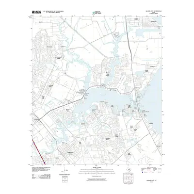
 2013 League City2013 Print · USGSCovers University Green, including Houston, Pasadena, and other nearby areas
 - 2016 Map of League City, 2016 Print
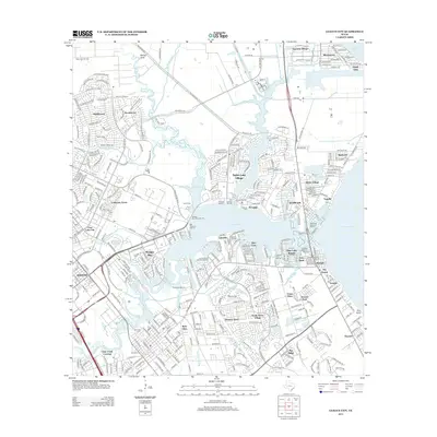
 2016 League City2016 Print · USGSCovers University Green, including Houston, Pasadena, and other nearby areas
 - 2019 Map of League City, 2019 Print
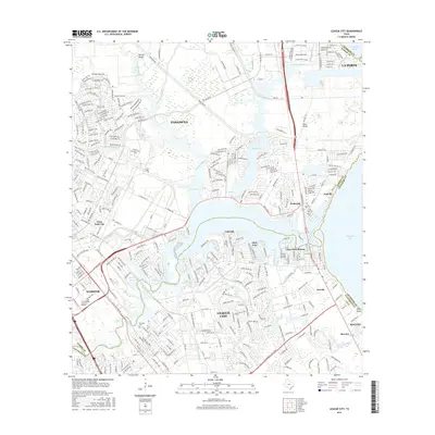
 2019 League City2019 Print · USGSCovers University Green, including Houston, Pasadena, and other nearby areas
 - 2022 Map of League City, 2022 Print
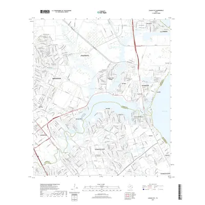
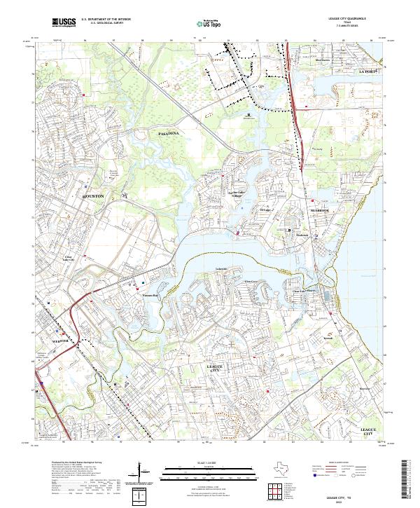 2022 League City2022 Print · USGSLeague City and the surrounding bayou country are shown in extensive detail at the start of the 2020s. Genealogists and researchers can trace local family landmarks like the Hammer-McFaddin Cem or the winding reaches of Armand Bayou and Big Island Slough.
End of results
Showing maps 1-15 of 15
Frequently asked questions
- What are the different types of historical maps available for University Green?
- What is the oldest map of University Green?
- Where can I purchase historical maps of University Green for my home or office?
- Where can I download high-res historical maps of University Green?
- Are there historical topographic maps available for University Green?
- Is there historical aerial imagery available for University Green?
- Where are historical maps of University Green sourced from?