2020s Maps of Haskell County, Texas
Explore 25 historic maps of Haskell County from the 2020s. These maps offer a rare glimpse into what life looked like during the 2020s — showing old roads, neighborhoods, homes, and landmarks that have changed or disappeared over time.
Whether you're researching your family's past, planning a metal detecting trip, or studying how Haskell County's landscape evolved across the 2020s, these high-resolution maps are a powerful tool for exploring the history of this region.
- Focus on a specific era: All maps on this page are from the 2020s, giving you a focused view of this time period.
- See what’s changed: Compare century-old streets, trails, and buildings to today's modern landscape using overlays and satellite layers.
- Research with precision: Use these maps for genealogy, historical research, land use analysis, or educational projects.
- View, download, or print: Maps are fully viewable online in high resolution, and can be downloaded or printed for your own records.
Start exploring Haskell County's history through authentic maps from the 2020s. This is your window into the past.
Haskell County, TX maps
(25)- 2022 Map of Haskell, 2022 Print
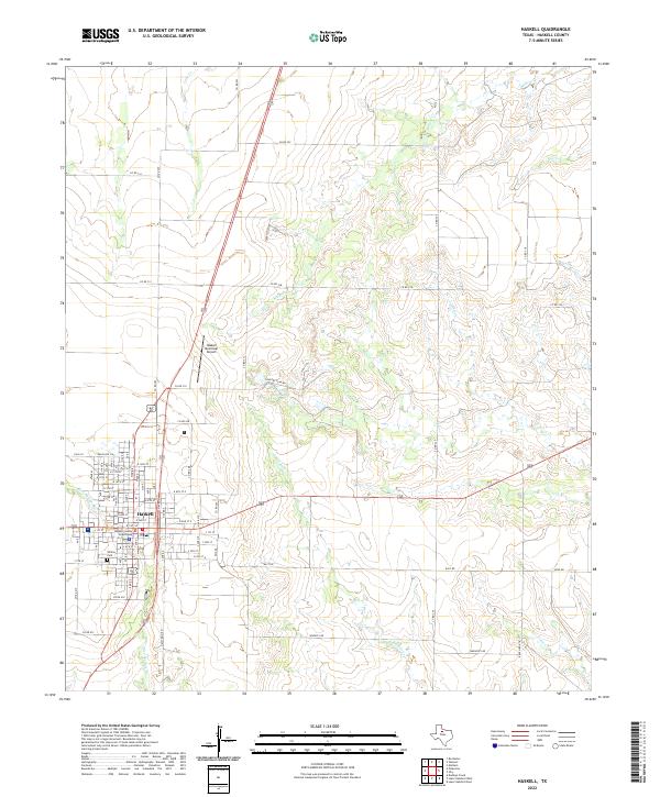 2022 Haskell2022 Print · USGSHaskell and its surrounding plains are documented in this recent survey of the Texas Rolling Plains. Researchers can trace the town's layout from the Haskell County Courthouse to Willow Cem, while mapping the drainage of Buffalo Cr and Red Cr.
 - 2022 Map of Weinert, 2022 Print
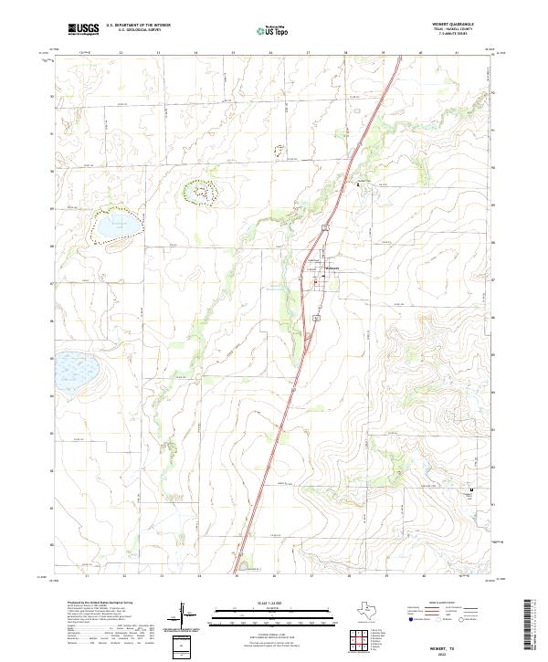 2022 Weinert2022 Print · USGSWeinert and the surrounding Haskell County ranchlands are captured here in the early 2020s, showing a landscape defined by water management and rural crossroads. Genealogists and local historians can locate Weinert Cem, Pleasant Valley Cem, and family-named landmarks like Winchester Lake.
 - 2022 Map of Reynolds Bend NW, 2022 Print
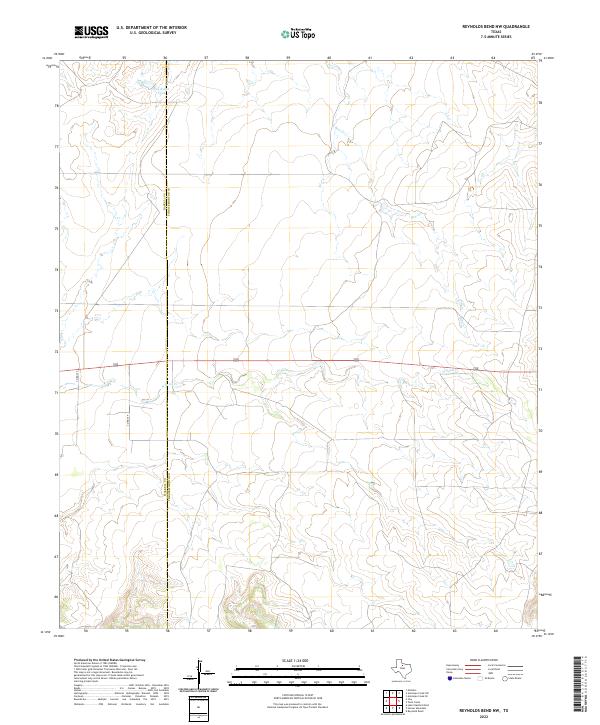 2022 Reynolds Bend NW2022 Print · USGSThe open ranch lands of the Texas Big Country are shown here at the start of the 2020s. Researchers can trace the county line and find rural landmarks like Pea Ridge Tank and the winding course of N Paint Cr.
 - 2022 Map of Munday West, 2022 Print
 2022 Munday West2022 Print · USGSMunday and its western agricultural surroundings are documented here in the early twenty-first century. Researchers can trace land patterns near Johnson Memorial Cem, Gillespie Cem, and the waters of Griffin Lake.
 - 2022 Map of Rule, 2022 Print
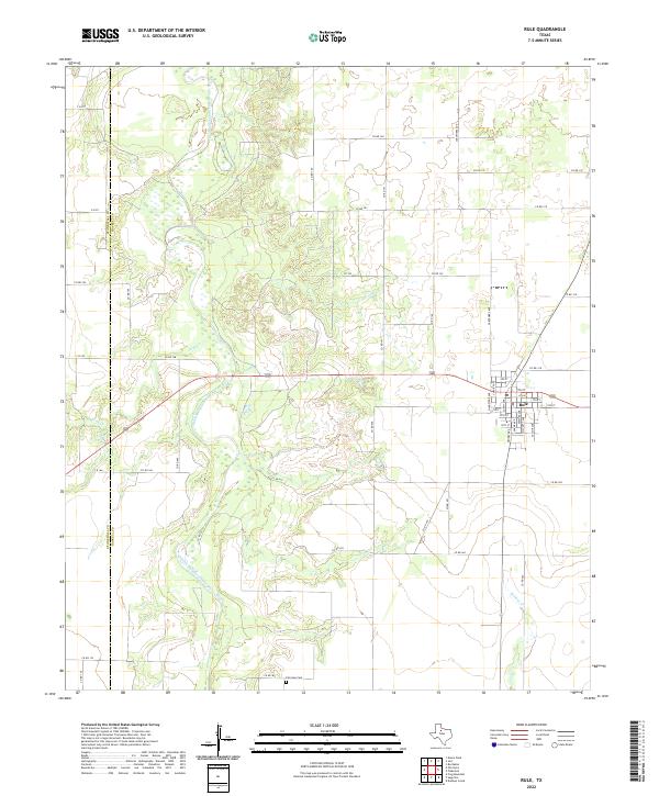 2022 Rule2022 Print · USGSHaskell County and the town of Rule are captured in this modern survey of the West Texas plains. Researchers can trace the layout of local streets like Union Ave and locate the historic Fairview Cem near the banks of Willow Cr.
 - 2022 Map of Sagerton, 2022 Print
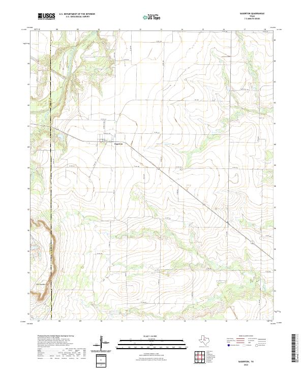 2022 Sagerton2022 Print · USGSHaskell and Stonewall counties in the twenty-first century remain defined by their agricultural roots and deep-cut drainage basins. Genealogists and local historians can trace the streets of Sagerton or locate landmarks like Flat Top Mtn and Salem Tank.
 - 2022 Map of Pinkerton, 2022 Print
 2022 Pinkerton2022 Print · USGSThe ranching and farming country west of Haskell is captured here in the early twenty-first century, showcasing a landscape of section lines and seasonal draws. Genealogists and local historians can locate rural burial sites like Pinkerton Cem and trace the path of Mule Cr toward Bitter Lake.
 - 2022 Map of Irby, 2022 Print
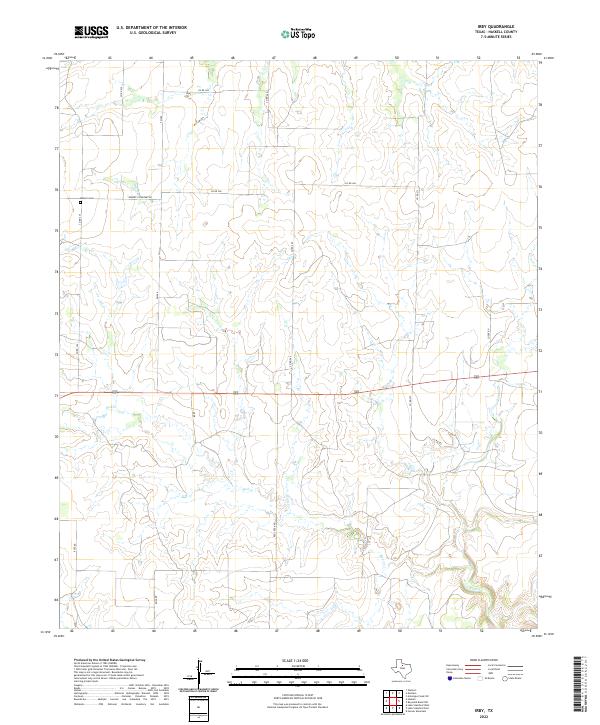 2022 Irby2022 Print · USGSHaskell County in the early 2020s remains a landscape of quiet rural endurance defined by ranching roads and prairie drainage. Researchers can locate family landmarks like Roberts Cem or trace the winding course of Red Creek and N Paint Cr.
 - 2022 Map of Knox City NW, 2022 Print
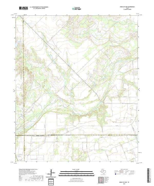 2022 Knox City NW2022 Print · USGSNear the convergence of four North Texas counties, this survey captures the rural landscape as it appeared in the early 2020s. Genealogists and researchers can trace property boundaries and access points along the Brazos River, Arnold Ranch Lake, and FM 2279.
 - 2022 Map of Jud, 2022 Print
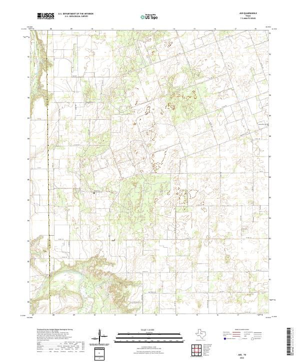 2022 Jud2022 Print · USGSThe rural Haskell County landscape near Jud is captured here as it appeared in the early 2020s. Genealogists and local historians can trace family roots at Idella Cem or follow the waters of the Double Mountain Fork Brazos River.
 - 2022 Map of Hoover Mountain, 2022 Print
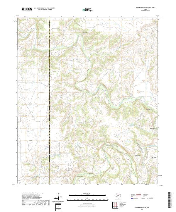 2022 Hoover Mountain2022 Print · USGSThe Haskell and Throckmorton county line comes alive in this contemporary survey of the winding Brazos River country. Researchers can trace the river's serpentine path through Turkey Bend and locate named landmarks like Hoover Mtn and Bake Oven Flat.
 - 2022 Map of Mattson, 2022 Print
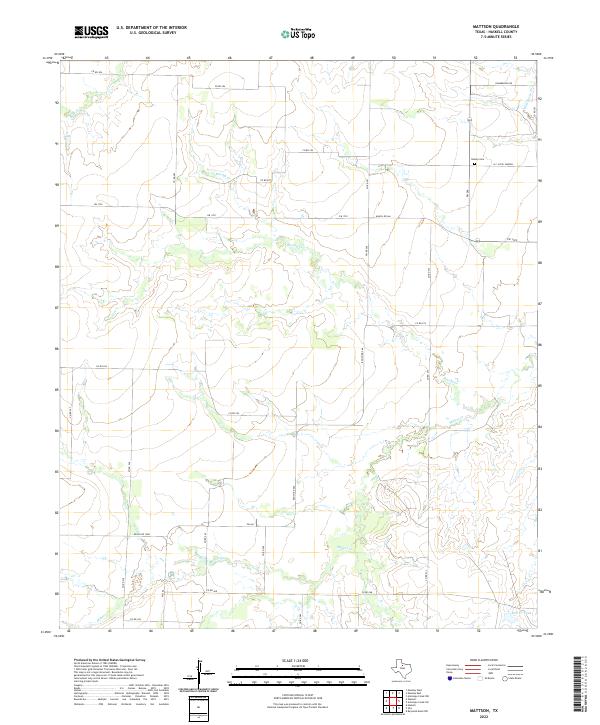 2022 Mattson2022 Print · USGSHaskell County ranchlands and rural life are documented here during the early twenty-first century. Researchers can locate family landmarks such as the Brushy Cem and the H C (Pick) Yandell settlement near the winding Brushy Cr.
 - 2022 Map of Dudleys Creek, 2022 Print
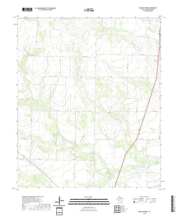 2022 Dudleys Creek2022 Print · USGSHaskell County ranching country is mapped here in the early twenty-first century, showing the precise intersection of natural waterways and modern road grids. Researchers can trace land boundaries along Dudleys Cr and Willow Cr or follow the paths of Ranch Rd 1225 and FM 618.
 - 2022 Map of Munday East, 2022 Print
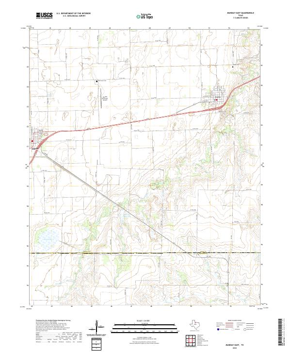 2022 Munday East2022 Print · USGSThe Knox and Haskell County line comes into focus in this recent survey of the North Texas plains. Researchers can locate family landmarks such as the Old Goree Cem and Goree Cem or trace the rural grid between Munday and Goree.
 - 2022 Map of Antelope Creek NW, 2022 Print
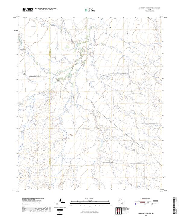
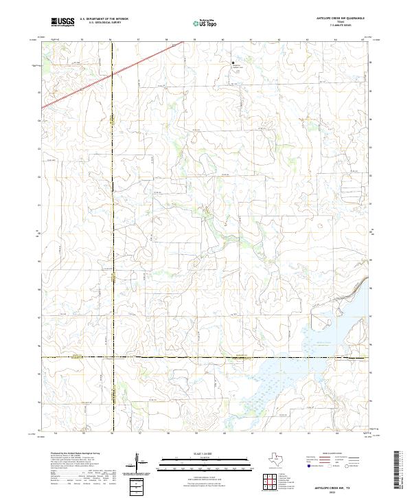 2022 Antelope Creek NW2022 Print · USGSFour Texas counties converge in this rural ranching landscape during the early 2020s, centered on a vital regional water network. Researchers can trace the sprawling shoreline of the Millers Creek Reservoir or locate the Bomarton Catholic Cem near the banks of Mexican Cr.
 - 2022 Map of Lake Stamford East, 2022 Print
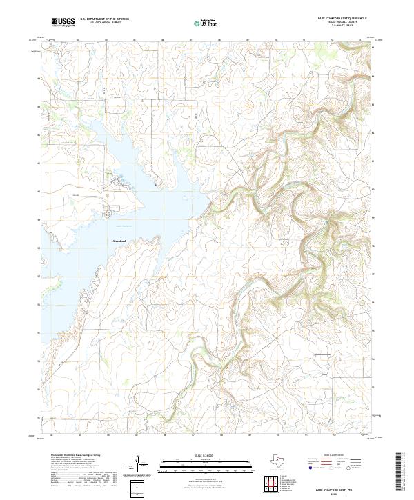 2022 Lake Stamford East2022 Print · USGSTexas ranchlands meet the waters of the Brazos River basin in this contemporary Haskell County survey. Local historians can trace the shoreline developments along Lakeshore Sites Rd or follow the natural course of California Creek toward Buffalo Springs.
 - 2022 Map of Rochester, 2022 Print
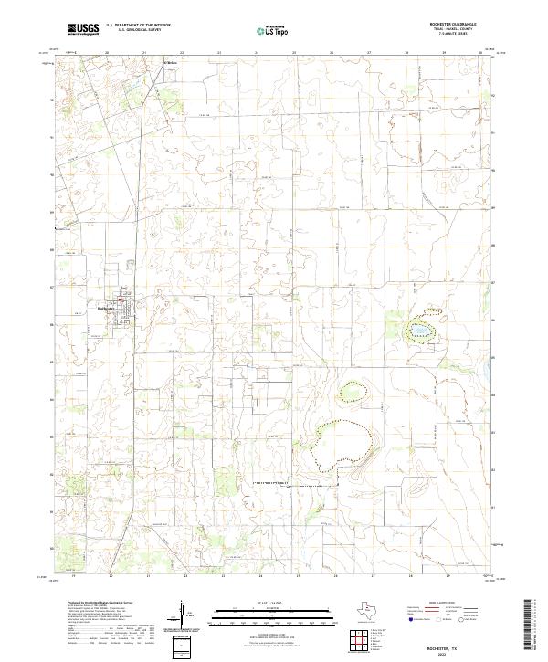 2022 Rochester2022 Print · USGSRochester and O'Brien anchor this agricultural landscape in Haskell County as it appeared in the early 2020s. Researchers can trace local history at Rochester Cem and follow the rural road network including Fm 617 and Ranch Rd 2163.
 - 2022 Map of Lake Stamford West, 2022 Print
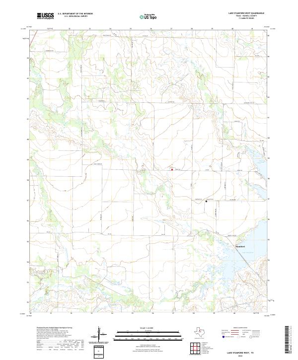 2022 Lake Stamford West2022 Print · USGSHaskell County ranch lands and the western reaches of the reservoir are seen here during the early twenty-first century. Genealogists and local historians can locate Howard Cem and trace the drainage of Mule Creek and Buffalo Creek into Lake Stamford.
 - 2022 Map of Knox City, 2022 Print
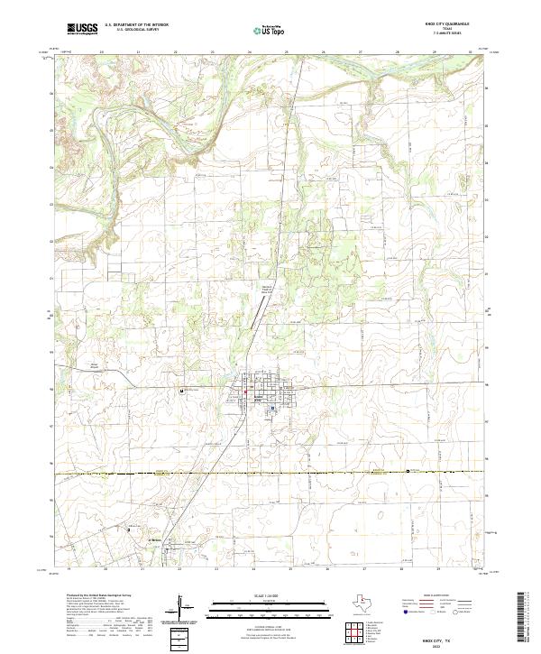 2022 Knox City2022 Print · USGSKnox City and the rural border between Knox and Haskell Counties are shown here during the early 2020s. Researchers can trace local lineage and land use through the location of Knox City Cem, Cliff Cem, and the specialized Harrison Field of Knox City.
 - 2022 Map of Tuxedo, 2022 Print
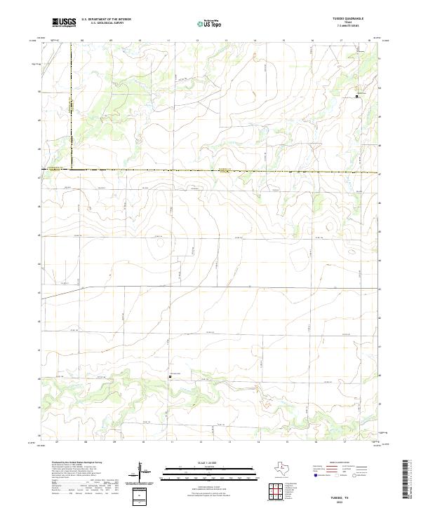 2022 Tuxedo2022 Print · USGSJones and Haskell counties are depicted here in the early twenty-first century, showcasing a rural landscape defined by prairie creeks and a vast grid of county roads. Genealogists can locate family landmarks like Fairview Cemetery and Capron Cemetery along the banks of California Creek.
 - 2022 Map of Antelope Hills, 2022 Print
 2022 Antelope Hills2022 Print · USGSTexas ranching country at the meeting point of three counties is defined here by the winding river and high ground. Researchers can trace the rugged drainage of the Clear Fork Brazos River and find landmarks like the Antelope Hills and Wolf Cr.
 - 2022 Map of Lueders NW, 2022 Print
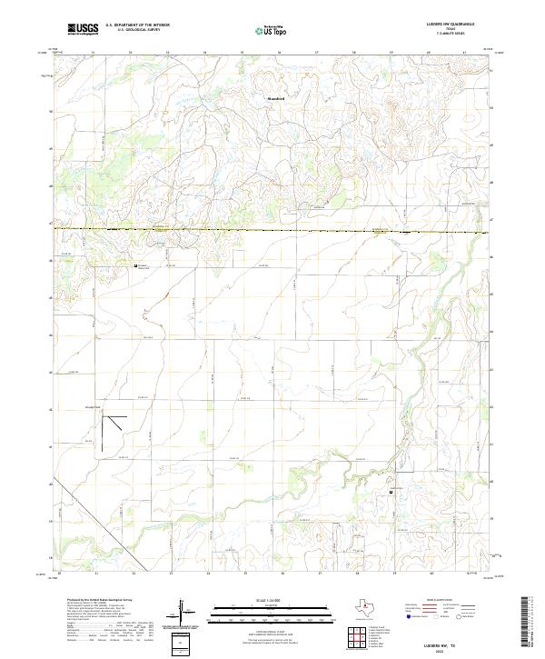 2022 Lueders NW2022 Print · USGSThe rural expanse where Haskell and Jones Counties meet is captured here in the early twenty-first century. Researchers can trace family history at Pleasant Valley Cem and Bethel Cem or follow the waters of California Cr.
 - 2022 Map of Lueders NE, 2022 Print
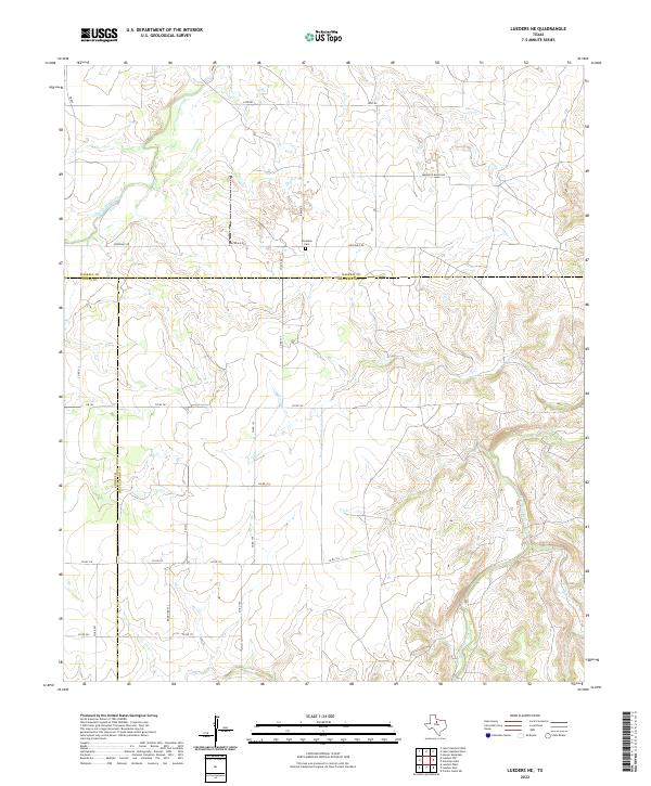 2022 Lueders NE2022 Print · USGSIn the rangelands of North Texas, this modern survey documents the intersection of Jones, Haskell, and Shackelford counties. Researchers can trace land boundaries along the Clear Fork Brazos River or locate the historic Rockdale Cem.
 - 2022 Map of Stamford, 2022 Print
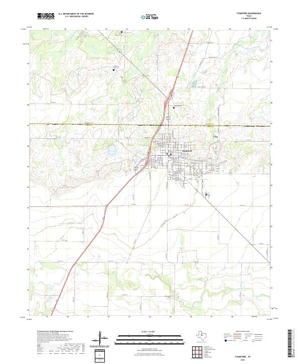 2022 Stamford2022 Print · USGSStamford and the surrounding West Texas plains are captured here in the early 2020s where the Haskell and Jones county lines meet. Family historians can locate family plots at Highland Cem or trace the winding paths of Turkey Paint Cr and California Cr.
 - 2023 Map of Antelope Creek SW, 2023 Print
 2023 Antelope Creek SW2023 Print · USGSThe Haskell and Throckmorton county line comes alive in the 2020s, showing a ranching landscape defined by the winding waters of Millers Creek and Wild Horse Creek. Trace local history through family-named landmarks like Chamberlain and the essential stock waters of Big Wolf Tank.
End of results
Showing maps 1-25 of 25
Top cities of Haskell County
- Haskell historical maps
- Rule historical maps
- Rochester historical maps
- Weinert historical maps
- O'Brien historical maps
Frequently asked questions
- What are the different types of historical maps available for Haskell County?
- What is the oldest map of Haskell County?
- Where can I purchase historical maps of Haskell County for my home or office?
- Where can I download high-res historical maps of Haskell County?
- Are there historical topographic maps available for Haskell County?
- Is there historical aerial imagery available for Haskell County?
- Where are historical maps of Haskell County sourced from?