Old Maps of Hugo, Texas for Hiking & Exploration
Hike through history with 12 historic maps of Hugo. Explore old trails, ghost towns, and forgotten backroads — perfect for outdoor adventurers and local explorers.
- Rediscover forgotten places: Map out old mining camps, roads, and footpaths that no longer exist on modern maps.
- Layer with modern tools: Combine with LiDAR or satellite views to plan hikes through historical terrain.
- Made for exploration: Popular among hikers, overlanders, and local history lovers.
Use these maps to find adventure and explore the hidden past of Hugo.
Hugo, TX maps
(12)- 1929 Map of Hunter
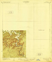 1929 Hunter1929 Print · USGSComal County was a landscape of deep limestone valleys and winding river bends in the late twenties. Genealogists and local historians can trace the early layout of Sattler or locate family landmarks near Waco Spring and Mountain Creek.2 unique versions available
 - 1954 Map of San Antonio, 1964 Print
 1954 San Antonio1964 Print · USGSSan Antonio and the Texas Hill Country are captured here in the mid-fifties, showing a landscape defined by massive military air bases and the rising Canyon Reservoir. Trace family ties through historic rail towns like D'Hanis and Castroville or explore the Cold War footprint of Lackland AFB and Randolph AFB.3 unique versions available
 - 1957 Map of San Antonio
 1957 San Antonio1957 Print · USGSSan Antonio and the Texas Hill Country are shown here during the mid-fifties, capturing the region's expanding post-war military and transportation footprint. Genealogists and local historians can trace the early residential boundaries of Alamo Heights or locate rural landmarks like St Hedwig and Medina Lake.
 - 1963 Map of Devils Backbone, 1965 Print
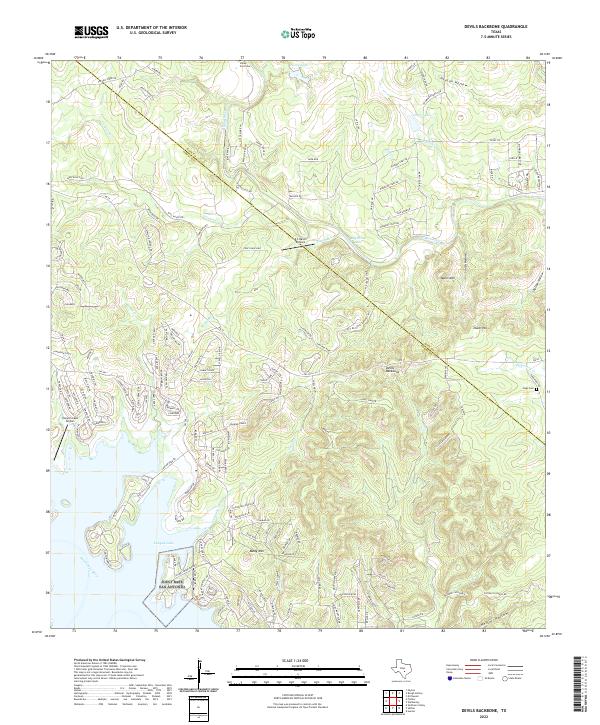
 1963 Devils Backbone1965 Print · USGSThe Comal and Hays county line near the Guadalupe River is shown here in the early sixties, just as the basin began filling. Researchers can locate family landmarks like Valley Ford Cemetery, El Rancho Cima, and the ridge road along the Devils Backbone.3 unique versions available
 - 1985 Map of New Braunfels
 1985 New Braunfels1985 Print · USGSThe Texas Hill Country meets the growing San Antonio suburbs in the mid-1980s, showing a landscape of river-fed towns and military grounds. Trace family roots in historic Gruene or Boerne, and locate landmarks like Canyon Lake and Randolph Air Force Base.
 - 1989 Map of Devils Backbone
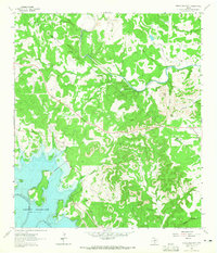
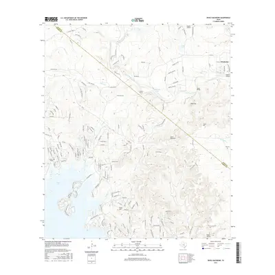
 1989 Devils Backbone1989 Print · USGSThe Texas Hill Country at the end of the 1980s reveals a landscape defined by the waters of the Blanco River and the expanding reach of Canyon Lake. Researchers can trace old family burial grounds at Valley Ford Cemetery and Hugo Cem or explore the heights of the Devils Backbone.
 - 1992 Map of New Braunfels
 1992 New Braunfels1992 Print · USGSThe San Antonio and New Braunfels corridor was expanding rapidly in the early nineties, balancing heavy military presence with Hill Country recreation. Trace the footprint of CAMP BULLIS MILITARY RESERVATION or locate old railroad stops along the Southern Pacific and Missouri Pacific lines.2 unique versions available
 - 2010 Map of Devils Backbone, 2010 Print
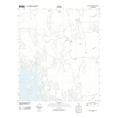 2010 Devils Backbone2010 Print · USGSCovers Hugo, including Wimberley, Hays County, and other nearby areas
 - 2013 Map of Devils Backbone, 2013 Print
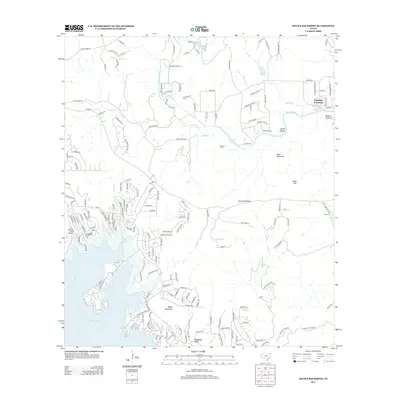 2013 Devils Backbone2013 Print · USGSCovers Hugo, including Wimberley, Hays County, and other nearby areas
 - 2016 Map of Devils Backbone, 2016 Print
 2016 Devils Backbone2016 Print · USGSCovers Hugo, including Wimberley, Hays County, and other nearby areas
 - 2019 Map of Devils Backbone, 2019 Print
 2019 Devils Backbone2019 Print · USGSCovers Hugo, including Wimberley, Hays County, and other nearby areas
 - 2022 Map of Devils Backbone, 2022 Print
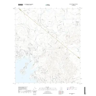
 2022 Devils Backbone2022 Print · USGSThe Texas Hill Country and the high ridges of the Devils Backbone are captured in this recent survey. Local researchers can trace family landmarks and rural sites like Hugo Cem, Moon Mtn, and the shores of Canyon Lake.
End of results
Showing maps 1-12 of 12
Top cities near Hugo
- San Antonio historical maps
- Austin historical maps
- New Braunfels historical maps
- San Marcos historical maps
- Kyle historical maps
- Bulverde historical maps
See more
Frequently asked questions
- What are the different types of historical maps available for Hugo?
- What is the oldest map of Hugo?
- Where can I purchase historical maps of Hugo for my home or office?
- Where can I download high-res historical maps of Hugo?
- Are there historical topographic maps available for Hugo?
- Is there historical aerial imagery available for Hugo?
- Where are historical maps of Hugo sourced from?