2000s (21st Century) Maps of Arco Iris Colonia, Hidalgo County
Explore 6 historic maps of Arco Iris Colonia from the 2000s (21st Century). These maps offer a rare glimpse into what life looked like during the 2000s — showing old roads, neighborhoods, homes, and landmarks that have changed or disappeared over time.
Whether you're researching your family's past, planning a metal detecting trip, or studying how Arco Iris Colonia's landscape evolved across the 2000s, these high-resolution maps are a powerful tool for exploring the history of this region.
- Focus on a specific era: All maps on this page are from the 2000s, giving you a focused view of this time period.
- See what’s changed: Compare century-old streets, trails, and buildings to today's modern landscape using overlays and satellite layers.
- Research with precision: Use these maps for genealogy, historical research, land use analysis, or educational projects.
- View, download, or print: Maps are fully viewable online in high resolution, and can be downloaded or printed for your own records.
Start exploring Arco Iris Colonia's history through authentic maps from the 2000s. This is your window into the past.
Arco Iris Colonia, Hidalgo County maps
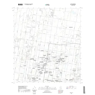
(6)- 2002 Map of Alton, 2003 Print
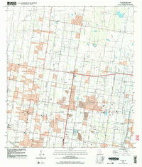 2002 Alton2003 Print · USGSHidalgo County's residential and industrial growth is captured here at the start of the new millennium. Researchers can trace local school districts and energy sites like the Oblate Gas Field, Salinas Sch, and the community of Alton.
 - 2010 Map of Alton, 2010 Print
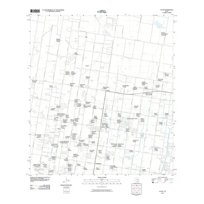 2010 Alton2010 Print · USGSCovers Arco Iris Colonia, including McAllen, Mission, and other nearby areas
 - 2012 Map of Alton, 2012 Print
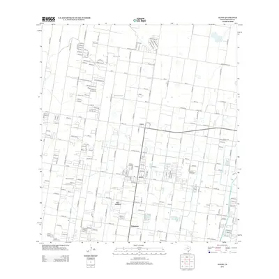 2012 Alton2012 Print · USGSCovers Arco Iris Colonia, including McAllen, Mission, and other nearby areas
 - 2016 Map of Alton, 2016 Print
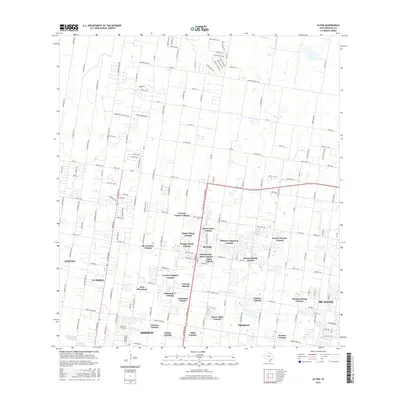 2016 Alton2016 Print · USGSCovers Arco Iris Colonia, including McAllen, Mission, and other nearby areas
 - 2019 Map of Alton, 2019 Print
 2019 Alton2019 Print · USGSCovers Arco Iris Colonia, including McAllen, Mission, and other nearby areas
 - 2022 Map of Alton, 2022 Print
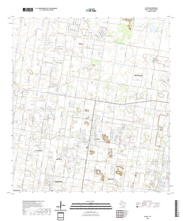 2022 Alton2022 Print · USGSAlton and the surrounding Hidalgo County communities are shown here during a period of rapid suburban and academic growth. Researchers can trace local heritage through landmarks like Shary Memorial Chapel Cem and the evolving streetscapes of La Homa and West Sharyland.
End of results
Showing maps 1-6 of 6
Frequently asked questions
- What are the different types of historical maps available for Arco Iris Colonia?
- What is the oldest map of Arco Iris Colonia?
- Where can I purchase historical maps of Arco Iris Colonia for my home or office?
- Where can I download high-res historical maps of Arco Iris Colonia?
- Are there historical topographic maps available for Arco Iris Colonia?
- Is there historical aerial imagery available for Arco Iris Colonia?
- Where are historical maps of Arco Iris Colonia sourced from?