Old Maps of Brownfeld Corner, Texas for Hiking & Exploration
Hike through history with 10 historic maps of Brownfeld Corner. Explore old trails, ghost towns, and forgotten backroads — perfect for outdoor adventurers and local explorers.
- Rediscover forgotten places: Map out old mining camps, roads, and footpaths that no longer exist on modern maps.
- Layer with modern tools: Combine with LiDAR or satellite views to plan hikes through historical terrain.
- Made for exploration: Popular among hikers, overlanders, and local history lovers.
Use these maps to find adventure and explore the hidden past of Brownfeld Corner.
Brownfeld Corner, TX maps
(10)- 1951 Map of Dell City, 1952 Print
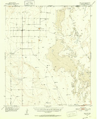 1951 Dell City1952 Print · USGSHudspeth County ranching and the vast salt flats are captured here in the early fifties as irrigation began to transform the basin. Researchers can trace the Butterfield Trail, find remote outposts like List Ranch, and locate the Salt Flat Airfield.2 unique versions available
 - 1954 Map of Van Horn, 1964 Print
 1954 Van Horn1964 Print · USGSThe Trans-Pecos region of West Texas comes into focus in the mid-1950s as a vital corridor of rail and desert commerce. Researchers can trace the path of the Texas and Pacific through Van Horn or locate remote rail sidings like Borracho and Laska Siding.2 unique versions available
 - 1958 Map of Van Horn
 1958 Van Horn1958 Print · USGSWest Texas ranching and rail history come alive in this 1950s survey of the Trans-Pecos desert during the era of major steam-to-diesel transition. Genealogists and historians can trace family-named outposts like Mayfield Ranch or locate the ruins of Presidio Viejo along the Rio Grande.
 - 1984 Map of Dell City, 1985 Print
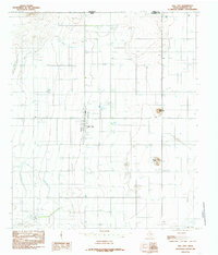 1984 Dell City1985 Print · USGSDell City and the northern reaches of Hudspeth County appear here in the early 1980s as a thriving desert agricultural hub. Researchers can trace the layout of the town's community spaces like the Rodeo Ground and Athletic Fields, or locate outlying landmarks such as Round Mountain and the Airport.
 - 1985 Map of Dell City
 1985 Dell City1985 Print · USGSThe northern Chihuahuan Desert in the mid-1980s reveals a landscape of isolated farming hubs and vast salt basins. Genealogists and researchers can trace the roads and water tanks around Dell City, the remote outpost at Salt Flat, and the rugged slopes of the Sierra Diablo.2 unique versions available
 - 2010 Map of Dell City, 2010 Print
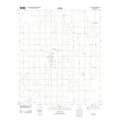
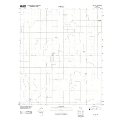 2010 Dell City2010 Print · USGSCovers Brownfeld Corner, including Dell City, Hudspeth County, and other nearby areas
 - 2013 Map of Dell City, 2013 Print
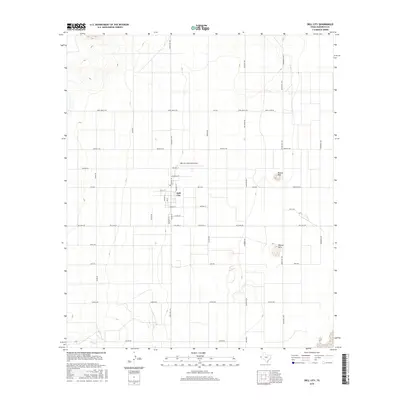
 2013 Dell City2013 Print · USGSCovers Brownfeld Corner, including Dell City, Hudspeth County, and other nearby areas
 - 2016 Map of Dell City, 2016 Print
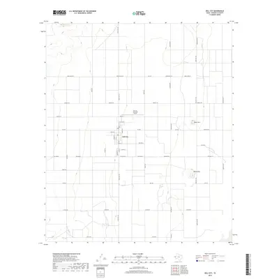
 2016 Dell City2016 Print · USGSCovers Brownfeld Corner, including Dell City, Hudspeth County, and other nearby areas
 - 2019 Map of Dell City, 2019 Print
 2019 Dell City2019 Print · USGSCovers Brownfeld Corner, including Dell City, Hudspeth County, and other nearby areas
 - 2022 Map of Dell City, 2022 Print
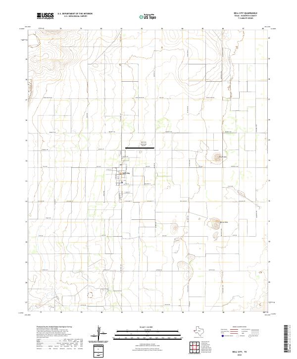 2022 Dell City2022 Print · USGSDell City stands as a managed agricultural and ranching hub in West Texas during the early twenty-first century. Researchers can trace the town's street grid and outlying landmarks like Round Mtn, Judge Ziler Rd, and Wilcox Hills.
End of results
Showing maps 1-10 of 10
Top cities near Brownfeld Corner
Frequently asked questions
- What are the different types of historical maps available for Brownfeld Corner?
- What is the oldest map of Brownfeld Corner?
- Where can I purchase historical maps of Brownfeld Corner for my home or office?
- Where can I download high-res historical maps of Brownfeld Corner?
- Are there historical topographic maps available for Brownfeld Corner?
- Is there historical aerial imagery available for Brownfeld Corner?
- Where are historical maps of Brownfeld Corner sourced from?