Old Maps of Fort Hancock East Unit Number 1 Colonia, Texas
Explore 11 old maps of Fort Hancock East Unit Number 1 Colonia, spanning from 1894 to today. These high-resolution historic maps reveal how streets, neighborhoods, landmarks, and natural features evolved over time — perfect for genealogy, metal detecting, research, and local history exploration.
What you can do with these maps:
- See how Fort Hancock East Unit Number 1 Colonia changed over time: Compare historical maps to modern-day views to trace roads, homesites, rail lines & more.
- View detailed metadata: Each map includes creators, publishers, year, scale, and archive source.
- Overlay maps with satellite & LiDAR: Visualize the past alongside modern tools to explore terrain & human change.
- Trusted historical sources: Maps sourced from the USGS, Library of Congress, and other archives.
- Access maps your way: View online, download high-res files, or order prints for personal or research use.
Start exploring old maps of Fort Hancock East Unit Number 1 Colonia to uncover forgotten places, hidden landmarks, and the deep history beneath your feet.
Fort Hancock East Unit Number 1 Colonia, TX maps
(11)- 1894 Map of Fort Hancock
 1894 Fort Hancock1894 Print · USGSWest Texas borderlands in the 1890s centered on the strategic military and rail corridor along the Rio Grande. Trace the early footprint of Fort Hancock Post and vanished outposts like Fort Quitman (Ab'd.) and Camp Rice (Ab'd.).4 unique versions available
 - 1943 Map of Fort Hancock
 1943 Fort Hancock1943 Print · USGSThe Rio Grande borderlands of West Texas during the early 1940s reveal a landscape of desert ranching and intensive river-fed irrigation. Genealogists and historians can trace rail-side settlements like Acala and Fort Hancock alongside the intricate Young Drain and McNary Main Canal systems.2 unique versions available
 - 1954 Map of Van Horn, 1964 Print
 1954 Van Horn1964 Print · USGSThe Trans-Pecos region of West Texas comes into focus in the mid-1950s as a vital corridor of rail and desert commerce. Researchers can trace the path of the Texas and Pacific through Van Horn or locate remote rail sidings like Borracho and Laska Siding.2 unique versions available
 - 1958 Map of Van Horn
 1958 Van Horn1958 Print · USGSWest Texas ranching and rail history come alive in this 1950s survey of the Trans-Pecos desert during the era of major steam-to-diesel transition. Genealogists and historians can trace family-named outposts like Mayfield Ranch or locate the ruins of Presidio Viejo along the Rio Grande.
 - 1972 Map of Fort Hancock, 1974 Print
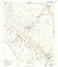 1972 Fort Hancock1974 Print · USGSFort Hancock stood as a vital border crossing and rail hub in the early 1970s, where the desert met the irrigated fields of the Rio Grande. Genealogists and local historians can trace the foundations of the community through the Ward Sch, the local Cem, and the Port of Entry near the river.
 - 1985 Map of Sierra Blanca
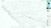 1985 Sierra Blanca1985 Print · USGSThe Trans-Pecos desert during the mid-eighties shows a landscape of mountain ranges and critical international border crossings. Trace the old river settlements of Fort Hancock and Mc Nary, find the historic Fort Quitman (Site), or follow the legacy of the Southern Pacific railroad.2 unique versions available
 - 2010 Map of Fort Hancock, 2010 Print
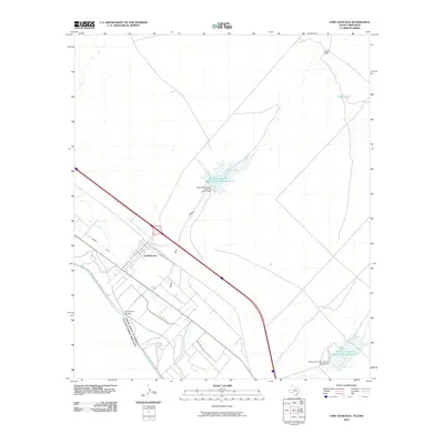 2010 Fort Hancock2010 Print · USGSThe Rio Grande border near Fort Hancock comes into focus during the early twenty-first century, showing the intersection of international transit and desert water management. Researchers can trace the local irrigation network through the Davis Drain and locate regional landmarks like the El Porvenir Bridge and Lutich Ranch.
 - 2013 Map of Fort Hancock, 2013 Print
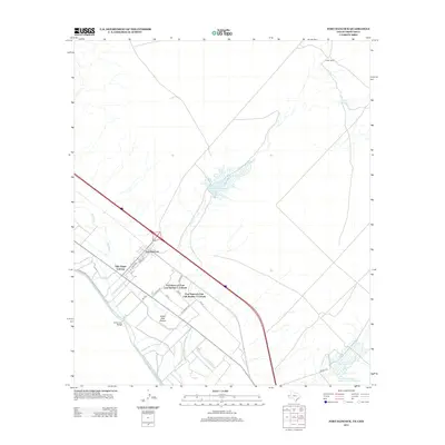 2013 Fort Hancock2013 Print · USGSThe Rio Grande borderlands and the settlement of Fort Hancock are documented here in the early twenty-first century. Genealogists and local historians can trace the growth of Villa Alegre Colonia and locate landmarks like the El Porvenir Bridge and Lutich Ranch.
 - 2016 Map of Fort Hancock, 2016 Print
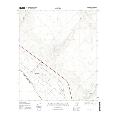 2016 Fort Hancock2016 Print · USGSFort Hancock sits along the international border in the mid-2010s, where the desert meets a complex system of Rio Grande irrigation. Researchers can trace the infrastructure of the borderlands through the El Porvenir Bridge, McNary Lateral, and Camp Rice Reservoir Number One.
 - 2019 Map of Fort Hancock, 2019 Print
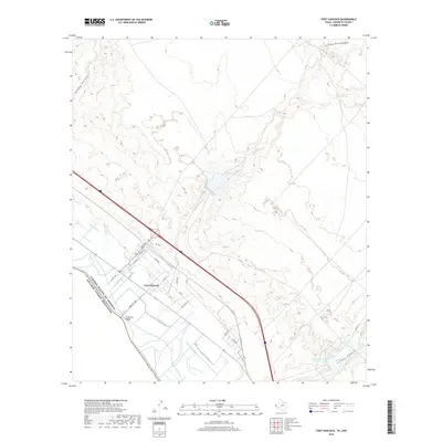 2019 Fort Hancock2019 Print · USGSHudspeth County’s borderlands are captured in this recent survey, showcasing the vital irrigation network along the Rio Grande. Genealogists and local historians can trace the town’s grid and the international connection at El Porvenir Bridge or follow the paths of Davis Drain and McNary Lateral.
 - 2022 Map of Fort Hancock, 2022 Print
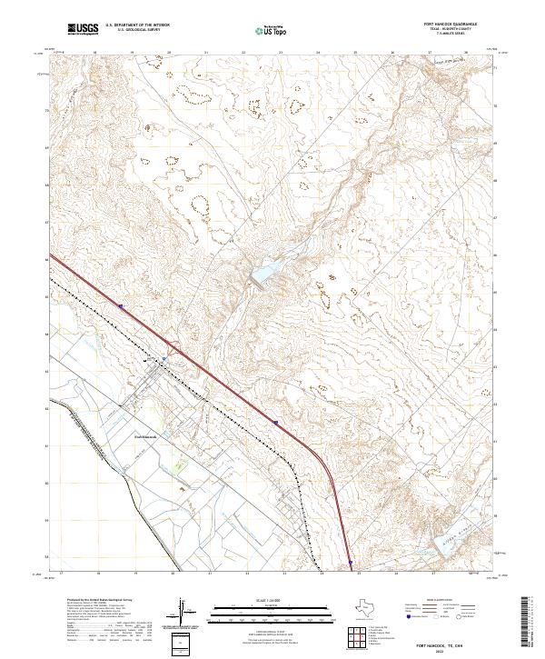 2022 Fort Hancock2022 Print · USGSThe Texas borderlands along the Rio Grande come into focus in this contemporary study of the settlement and irrigation systems. Genealogists and researchers can trace the streets of Fort Hancock, the Fort Hancock Cem, and water features like Arroyo Diablo.
End of results
Showing maps 1-11 of 11
Top cities near Fort Hancock East Unit Number 1 Colonia
Frequently asked questions
- What are the different types of historical maps available for Fort Hancock East Unit Number 1 Colonia?
- What is the oldest map of Fort Hancock East Unit Number 1 Colonia?
- Where can I purchase historical maps of Fort Hancock East Unit Number 1 Colonia for my home or office?
- Where can I download high-res historical maps of Fort Hancock East Unit Number 1 Colonia?
- Are there historical topographic maps available for Fort Hancock East Unit Number 1 Colonia?
- Is there historical aerial imagery available for Fort Hancock East Unit Number 1 Colonia?
- Where are historical maps of Fort Hancock East Unit Number 1 Colonia sourced from?