Old Maps of Bob Town, Texas for Hiking & Exploration
Hike through history with 9 historic maps of Bob Town. Explore old trails, ghost towns, and forgotten backroads — perfect for outdoor adventurers and local explorers.
- Rediscover forgotten places: Map out old mining camps, roads, and footpaths that no longer exist on modern maps.
- Layer with modern tools: Combine with LiDAR or satellite views to plan hikes through historical terrain.
- Made for exploration: Popular among hikers, overlanders, and local history lovers.
Use these maps to find adventure and explore the hidden past of Bob Town.
Bob Town, TX maps
(9)- 1954 Map of Wichita Falls, 1966 Print
 1954 Wichita Falls1966 Print · USGSNorth Texas in the mid-fifties is captured here as a landscape of expanding oil fields and vital rail corridors. Genealogists and historians can trace family roots through rural landmarks like Bacon Chapel and the rail-side growth of Seymour and Archer City.3 unique versions available
 - 1958 Map of Wichita Falls
 1958 Wichita Falls1958 Print · USGSNorth Texas during the late fifties reveals a landscape defined by the booming petroleum industry and established rail hubs. Researchers can trace the development of Wichita Falls and discover rural landmarks like Barton's Chapel or the Hull-Silk Oil Field.
 - 1964 Map of Senate, 1967 Print
 1964 Senate1967 Print · USGSSenate and the surrounding Jack County prairies are captured in the mid-1960s as a landscape of oil wells and rail lines. Trace family history at Winn Hill Cem or locate the old Mountain Home Missionary Ch along the Pacific and Rock Island line.2 unique versions available
 - 1985 Map of Graham
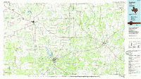 1985 Graham1985 Print · USGSNorth Texas in the mid-eighties shows a landscape of growing reservoirs and historic cattle country. Genealogists and historians can trace the foundations of Young County through the Belknap Mountains, Barton Chapel, and the grounds of Fort Richardson State Park.2 unique versions available
 - 2010 Map of Senate, 2010 Print
 2010 Senate2010 Print · USGSJack County's ranching and oil country is captured here during the early 2000s, showing a landscape shaped by water management and mineral extraction. Researchers can locate family landmarks like Cottonwood Cemetery or trace early roads near Senate and the Bryson Oil Field.
 - 2012 Map of Senate, 2012 Print
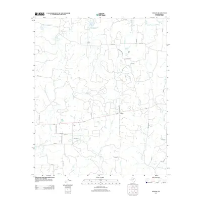 2012 Senate2012 Print · USGSJack County's rural character and oil heritage are on display in this contemporary survey of the Cross Timbers region. Genealogists and researchers can locate family sites at Winn Hill Cem, trace the footprint of the Bryson Oil Field, or explore the small communities of Bob Town and Senate.
 - 2016 Map of Senate, 2016 Print
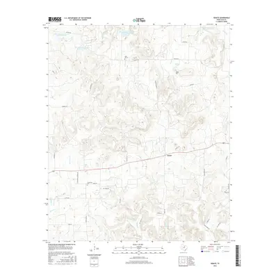 2016 Senate2016 Print · USGSJack County ranch land and the rural community of Senate are documented here during the mid-2010s. Researchers can trace local family lineages through sites like Winn Hill Cem and Cottonwood Cem, or locate landmarks like Tater Hill.
 - 2019 Map of Senate, 2019 Print
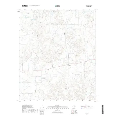 2019 Senate2019 Print · USGSIn the ranching country of Jack County during the twenty-tens, the small community of Senate remains a central waypoint. Researchers can trace family roots at Cottonwood Cem or navigate the drainages of Board Tree Cr and Tater Hill.
 - 2022 Map of Senate, 2022 Print
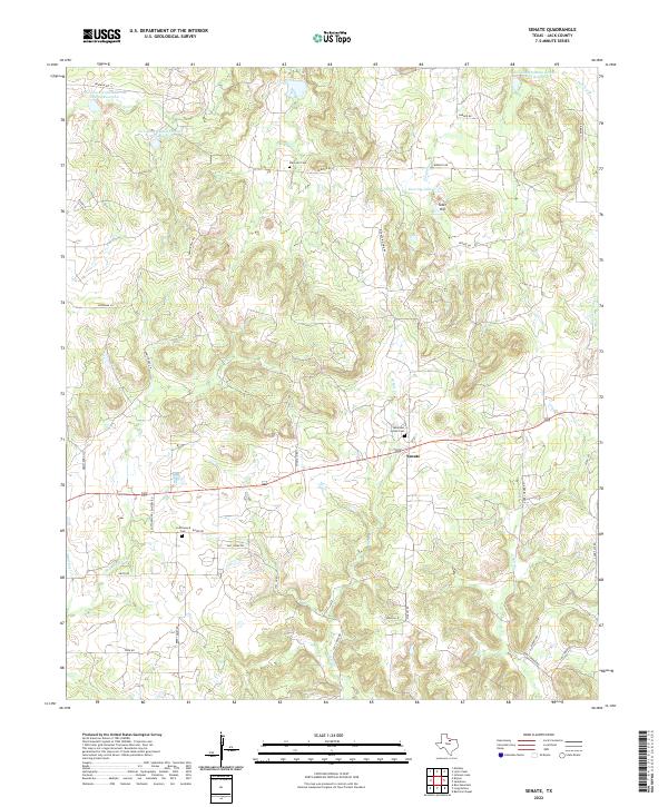 2022 Senate2022 Print · USGSJack County ranch lands and rural settlements are preserved here in the early twenty-first century. Genealogists can locate family burial sites at Mountain Home Cem and Cottonwood Cem, or trace the winding course of W Salt Cr near Senate.
End of results
Showing maps 1-9 of 9
Top cities near Bob Town
Frequently asked questions
- What are the different types of historical maps available for Bob Town?
- What is the oldest map of Bob Town?
- Where can I purchase historical maps of Bob Town for my home or office?
- Where can I download high-res historical maps of Bob Town?
- Are there historical topographic maps available for Bob Town?
- Is there historical aerial imagery available for Bob Town?
- Where are historical maps of Bob Town sourced from?