Old Maps of La Salle, Texas for Hiking & Exploration
Hike through history with 11 historic maps of La Salle. Explore old trails, ghost towns, and forgotten backroads — perfect for outdoor adventurers and local explorers.
- Rediscover forgotten places: Map out old mining camps, roads, and footpaths that no longer exist on modern maps.
- Layer with modern tools: Combine with LiDAR or satellite views to plan hikes through historical terrain.
- Made for exploration: Popular among hikers, overlanders, and local history lovers.
Use these maps to find adventure and explore the hidden past of La Salle.
La Salle, TX maps
(11)- 1952 Map of La Salle, 1953 Print
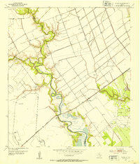 1952 La Salle1953 Print · USGSThe Texas coastal plains in the early fifties are defined here by the crossing of the Missouri Pacific and the winding Garcitas Creek. Genealogists and researchers can trace the settlement at La Salle and locate numerous family-scale Windmills and Flowing Wells dotting the local Oil Field.3 unique versions available
 - 1953 Map of Beeville
 1953 Beeville1953 Print · USGSThe Texas Coastal Bend in the early fifties shows a landscape of growing regional hubs and vital maritime corridors. Trace the rail-and-river economy through Goliad, locate the Matagorda Lighthouse, and explore the sprawling Aransas National Wildlife Refuge.
 - 1956 Map of Beeville
 1956 Beeville1956 Print · USGSCoastal Texas and the brush country interior are shown in the mid-fifties, from the coastal bays to the inland oil fields. Trace the old rail lines of the Southern Pacific RR or locate the historic Matagorda Lighthouse and the Aransas National Wildlife Refuge.2 unique versions available
 - 1960 Map of Beeville
 1960 Beeville1960 Print · USGSCoastal Texas in the mid-fifties reveals a landscape of growing towns and vital military outposts like Foster AFB. Researchers can trace old rail lines including the Missouri Pacific and explore the vast Aransas National Wildlife Refuge.
 - 1984 Map of Port Lavaca
 1984 Port Lavaca1984 Print · USGSCoastal Texas in the mid-1980s reveals a landscape of industrial waterways and historic rail corridors. Genealogists and historians can trace family roots through settlements like Bloomington and La Ward or explore the transit networks of the Southern Pacific and Missouri Pacific.
 - 1995 Map of La Salle
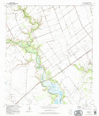 1995 La Salle1995 Print · USGSThe coastal prairie of Jackson and Victoria counties comes into focus in the mid-nineties, where the settlement of La Salle sits among a complex network of oil and gas fields. Researchers can trace the path of Garcitas Creek, find local recreation at Bennett Park, and locate numerous oil wells and regional pipelines.
 - 2010 Map of La Salle, 2010 Print
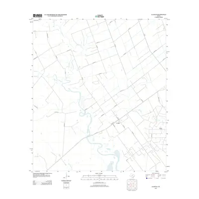
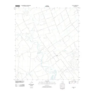 2010 La Salle2010 Print · USGSCovers La Salle, including Jackson County, Victoria County, and other nearby areas
 - 2013 Map of La Salle, 2013 Print
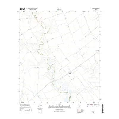
 2013 La Salle2013 Print · USGSCovers La Salle, including Jackson County, Victoria County, and other nearby areas
 - 2016 Map of La Salle, 2016 Print
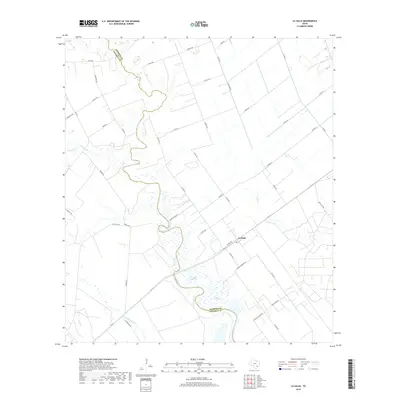
 2016 La Salle2016 Print · USGSCovers La Salle, including Jackson County, Victoria County, and other nearby areas
 - 2019 Map of La Salle, 2019 Print
 2019 La Salle2019 Print · USGSCovers La Salle, including Jackson County, Victoria County, and other nearby areas
 - 2022 Map of La Salle, 2022 Print
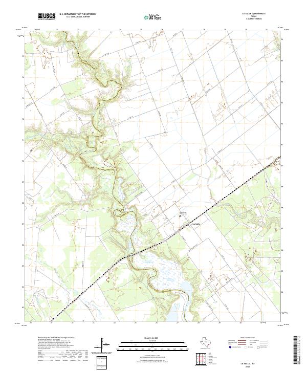 2022 La Salle2022 Print · USGSThe coastal plains of Jackson and Victoria counties come alive in this survey of the ranchlands surrounding La Salle. Researchers can trace the meandering county line along Garcitas Creek and locate family sites near Saint Teresa Catholic Cem.
End of results
Showing maps 1-11 of 11
Top cities near La Salle
Frequently asked questions
- What are the different types of historical maps available for La Salle?
- What is the oldest map of La Salle?
- Where can I purchase historical maps of La Salle for my home or office?
- Where can I download high-res historical maps of La Salle?
- Are there historical topographic maps available for La Salle?
- Is there historical aerial imagery available for La Salle?
- Where are historical maps of La Salle sourced from?